An urban real-time global environment estimation method based on cfd and multiple data sources
A multi-data source, urban technology, applied in the field of environmental engineering, can solve problems such as lack of real-time performance, failure to reflect wind environment conditions, and failure to consider the effect of precipitation on pollutant settlement.
- Summary
- Abstract
- Description
- Claims
- Application Information
AI Technical Summary
Problems solved by technology
Method used
Image
Examples
Embodiment Construction
[0056] In order to facilitate those skilled in the art to better understand the present invention, the present invention will be further described below in conjunction with the accompanying drawings.
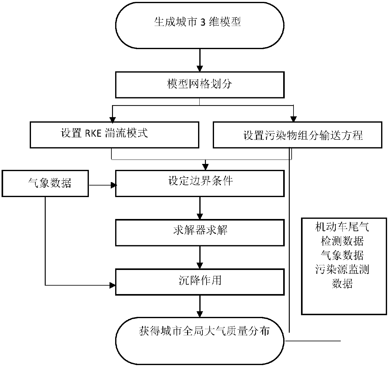
[0057] Such as figure 1 Shown, the present invention is specifically implemented as follows:
[0058] The first step is to model the city in 3D. The present invention first obtains the three-dimensional model of the city based on Google Earth.
[0059] Select the urban area to be solved from Google Earth, use 3D ripper to analyze the DirectX data stream when Google Earth is running, export a 3D urban building model with geographic information, and save it as a *.3dr file.
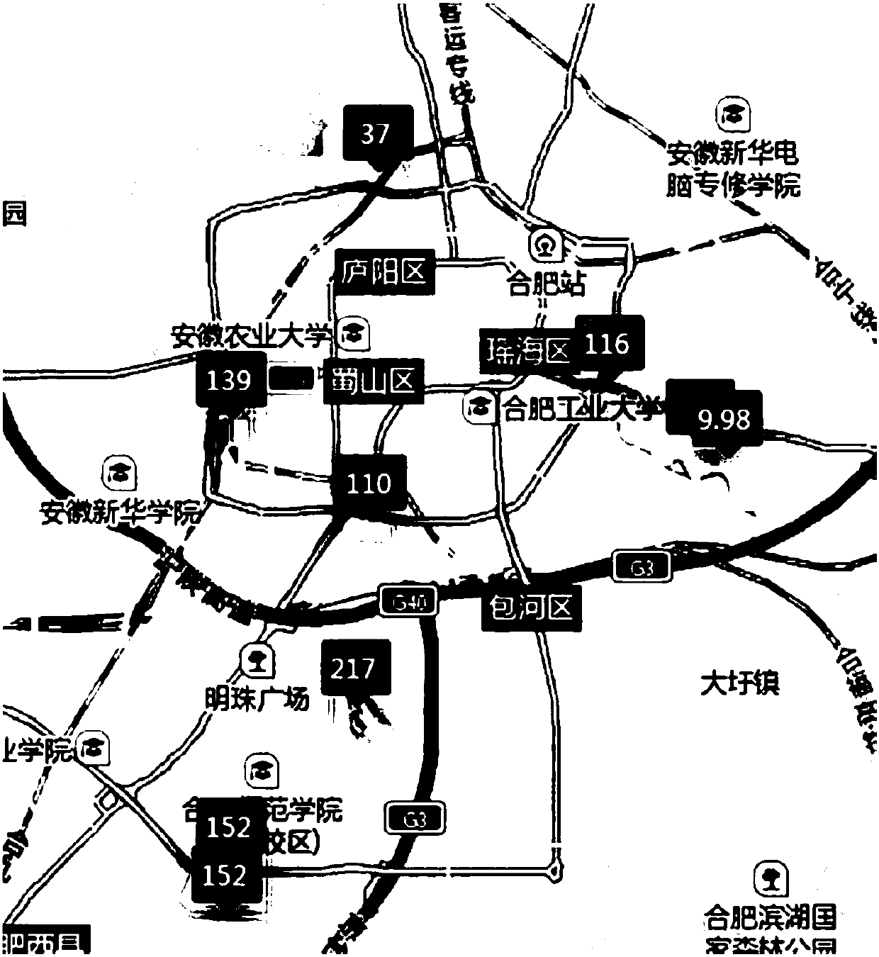
[0060] Import the 3dr file into 3d Max for texture settings, save it as an .obj file, and then use DeepExploration to generate a sketchup model file, such as figure 2 As shown, the picture is a three-dimensional model of the city combined with geographic information.
[0061] In the urban-scale flow fiel...
PUM
 Abstract
Description
Claims
Application Information
 - R&D
- Intellectual Property
- Life Sciences
- Materials
- Tech Scout
- Unparalleled Data Quality
- Higher Quality Content
- 60% Fewer Hallucinations
Browse by: Latest US Patents, China's latest patents, Technical Efficacy Thesaurus, Application Domain, Technology Topic, Popular Technical Reports.
© 2025 PatSnap. All rights reserved.Legal|Privacy policy|Modern Slavery Act Transparency Statement|Sitemap|About US| Contact US: help@patsnap.com


