Method and device for identifying forest hotspots based on multi-source satellite monitoring
A technology of hotspots and forests, applied in the field of satellite remote sensing monitoring, to achieve the effect of improving resolution efficiency and recognition accuracy
- Summary
- Abstract
- Description
- Claims
- Application Information
AI Technical Summary
Problems solved by technology
Method used
Image
Examples
Embodiment Construction
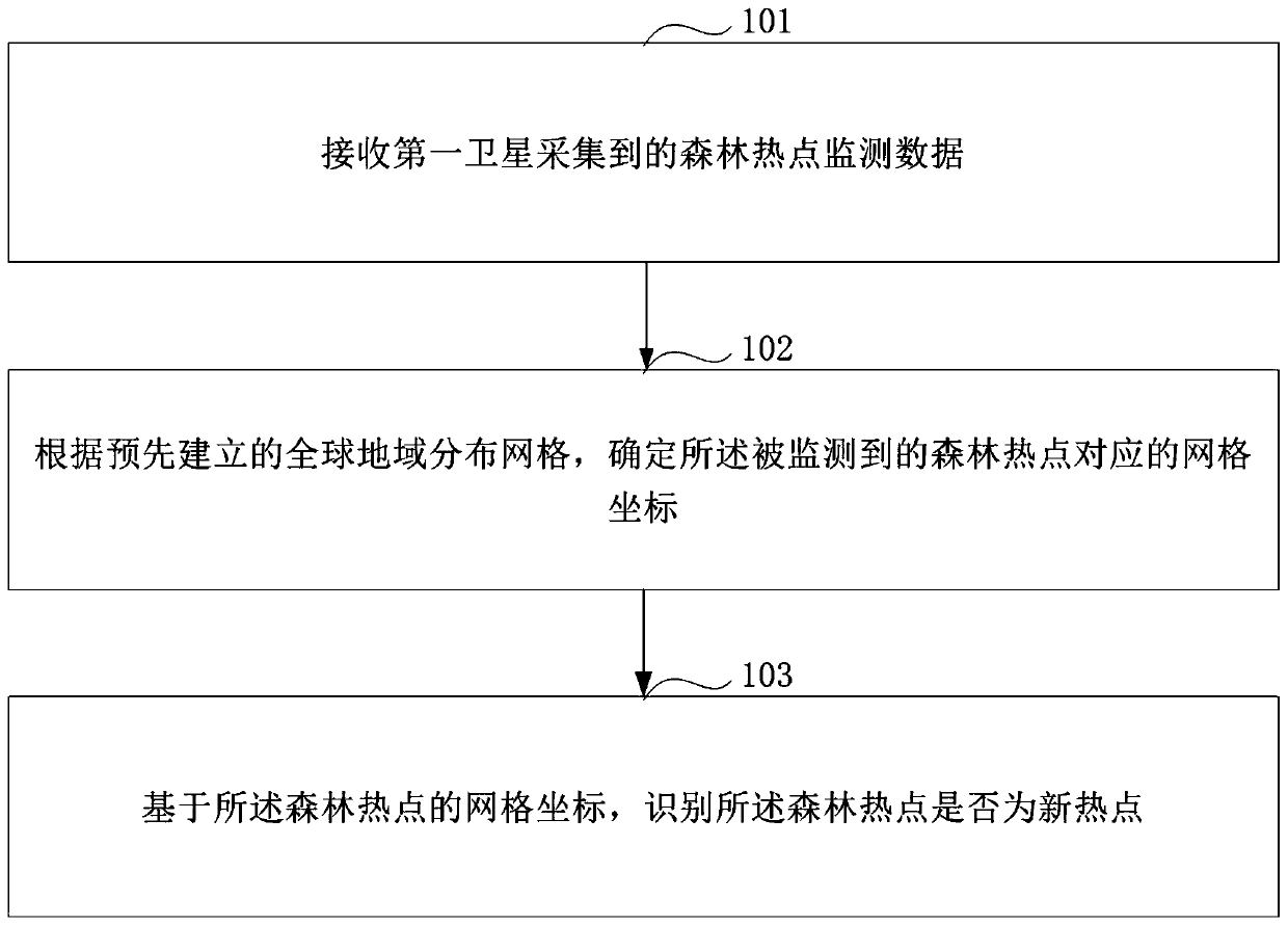
[0022] In order to make the purpose, technical solution and advantages of this application clearer, the embodiment of this application provides a method and equipment for identifying forest hotspots based on multi-source satellite monitoring. Whether the forest hotspots are emerging hotspots or continuing hotspots improves the recognition accuracy of forest hotspots, and then effectively numbers the detected forest hotspots, improves the resolution efficiency of forest hotspots, and provides valuable time guarantee for subsequent forest fire processing .
[0023] It should be noted that the forest hotspots described in the embodiments of the present application refer to areas where forest fires occur.
[0024] The multi-source satellites described in the embodiments of this application refer to a variety of different types or multiple satellites. During the process of orbiting the earth, the satellites use remote sensing technology to scan the earth's surface, and then can obt...
PUM
 Abstract
Description
Claims
Application Information
 - R&D
- Intellectual Property
- Life Sciences
- Materials
- Tech Scout
- Unparalleled Data Quality
- Higher Quality Content
- 60% Fewer Hallucinations
Browse by: Latest US Patents, China's latest patents, Technical Efficacy Thesaurus, Application Domain, Technology Topic, Popular Technical Reports.
© 2025 PatSnap. All rights reserved.Legal|Privacy policy|Modern Slavery Act Transparency Statement|Sitemap|About US| Contact US: help@patsnap.com


