Locating data storage and retrieval methods and apparatuses for geographic information system

A geographic information system and positioning data technology, applied in geographic information databases, structured data retrieval, electronic digital data processing, etc., can solve the problems of data storage hardware space limitations, difficult expansion, etc., to improve efficiency and reduce workload , Guarantee the effect of query efficiency

Active Publication Date: 2018-06-26
QIANXUN SPATIAL INTELLIGENCE INC
View PDF7 Cites 3 Cited by
  • Summary
  • Abstract
  • Description
  • Claims
  • Application Information

AI Technical Summary

Problems solved by technology

[0004] 1. Traditional GIS data is stored in databases such as PostGis and ArcGis, and data storage is limited by hardware space
In the case of large amounts of data, this type of data storage is not easy to expand

Method used


Image

  • Locating data storage and retrieval methods and apparatuses for geographic information system
  • Locating data storage and retrieval methods and apparatuses for geographic information system
  • Locating data storage and retrieval methods and apparatuses for geographic information system

Examples


Embodiment Construction

[0041] In the following description, many technical details are proposed in order to enable readers to better understand the application. However, those skilled in the art can understand that without these technical details and various changes and modifications based on the following implementation modes, the technical solution claimed in each claim of the present application can be realized.

[0042] In order to make the purpose, technical solution and advantages of the present invention clearer, the following will further describe the implementation of the present invention in detail in conjunction with the accompanying drawings.

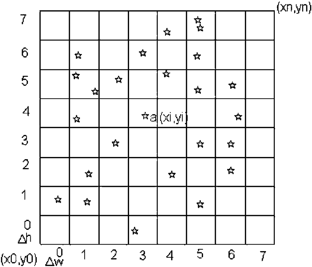
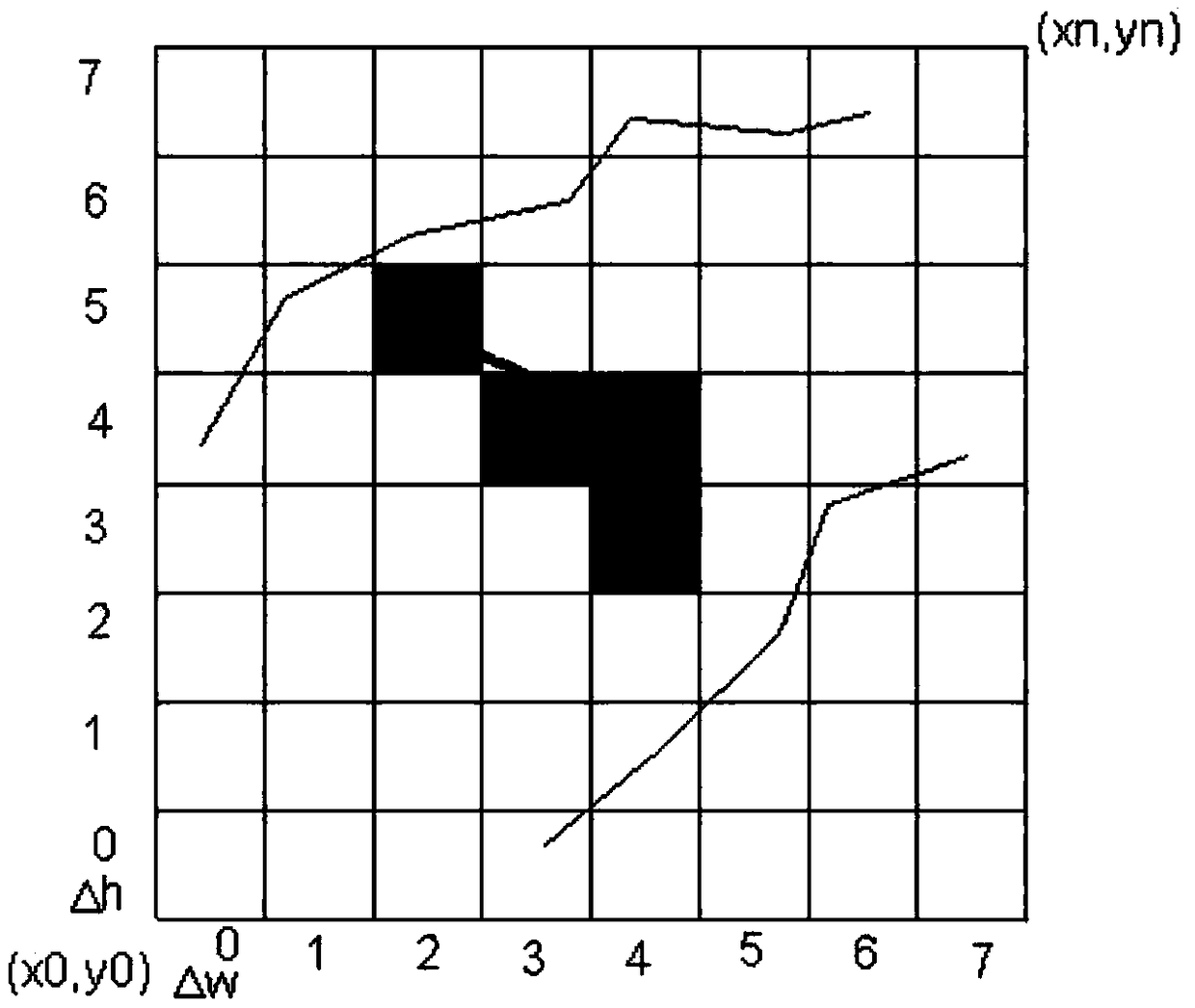
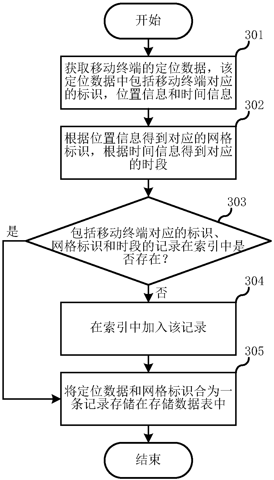
[0043] The first embodiment of the present invention relates to a positioning data storage method of a geographic information system. image 3 It is a flow diagram of the positioning data storage method of the geographic information system. The system includes a storage data table and an index for storing positioning data, the geographical area i...


PUM


Abstract

The invention relates to a geographic information system and discloses locating data storage and retrieval methods and apparatuses for the geographic information system. A geographic region is dividedinto multiple grids; corresponding relationships among identifiers corresponding to mobile terminals, grid identifiers and time periods are stored in indexes; and all locating data of the same mobileterminal in the same grid in the same time period only correspond to an index record, so that all the grids corresponding to the locating data of the specified mobile terminal can be easily found during retrieval, the required locating data is efficiently obtained according to the corresponding grids, and the workload of useless data processing is reduced. Hashing is performed through the identifiers corresponding to the mobile terminals, and one data storage table is selected from multiple data storage tables to perform storage, so that the storage and retrieval of the locating data can be performed in the relatively small data storage table, and the storage and retrieval efficiency is improved.

Description

technical field [0001] The invention relates to geographic information systems, in particular to geographic information data storage and retrieval techniques. Background technique [0002] Geographic Information System (GIS) projects generate a huge amount of data every day, which poses great challenges to storage and data query. The traditional data indexing method has been unable to meet the demand for TB or even PB of data . There should be new approaches to the challenges posed by GIS data. [0003] In GIS projects, spatial indexes take on important responsibilities. [0004] 1. Traditional GIS data is stored in databases such as PostGis and ArcGis, and data storage is limited by hardware space. In the case of large amounts of data, this type of data storage is not easy to expand. [0005] 2. The steps of traditional grid index retrieval data are as follows: [0006] a. If figure 1 As shown, on a map layer, a uniform grid is marked according to the width △w and hei...

Claims


Application Information

Patent Timeline
Patent Type & Authority Applications(China)
IPC IPC(8): G06F17/30
CPCG06F16/2282G06F16/29G06F16/9537
Inventor 吴超
Owner QIANXUN SPATIAL INTELLIGENCE INC
Why Eureka
Try Eureka