Eureka AIR delivers breakthrough ideas for toughest innovation challenges, trusted by R&D personnel around the world.

Bridge warning method and system based on coordinate system locating and tracking

A positioning tracking and coordinate system technology, applied in traffic control systems, ship traffic control, instruments, etc., can solve the problem of ship-to-ship collision warning and other problems

Pending Publication Date: 2018-07-27
RES INST OF BIT & ZHONGSHAN
View PDF6 Cites 3 Cited by
  • Summary
  • Abstract
  • Description
  • Claims
  • Application Information

AI Technical Summary

Problems solved by technology

The existing technology uses a camera to determine the position of the ship, which is easily affected by the environment. In the case of a harsh environment, it cannot provide early warning of collisions between ships and obstacles, and between ships

Method used

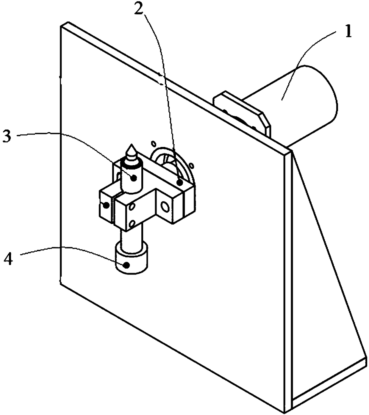
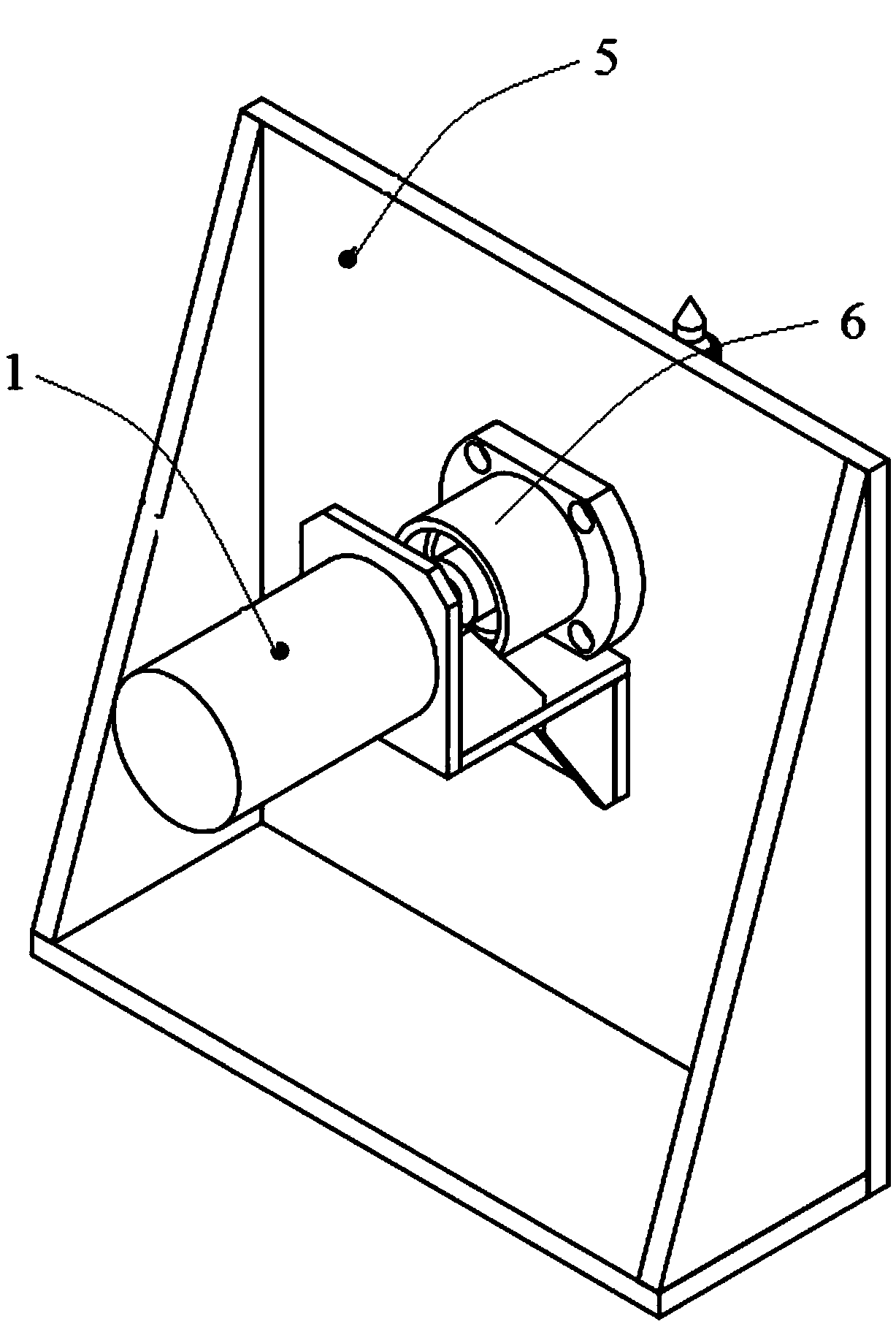
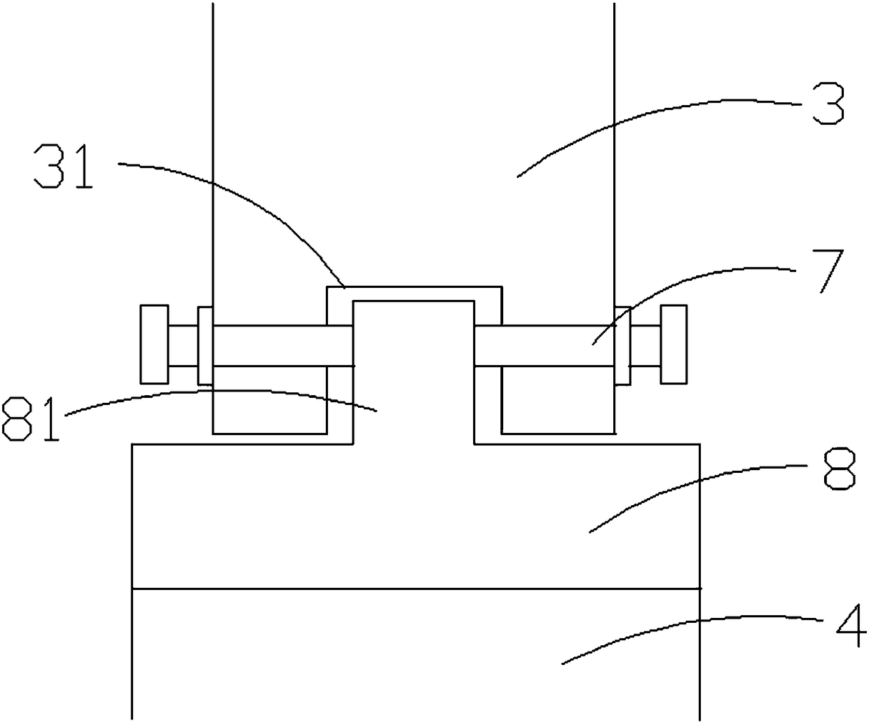

Image

  • Bridge warning method and system based on coordinate system locating and tracking
  • Bridge warning method and system based on coordinate system locating and tracking
  • Bridge warning method and system based on coordinate system locating and tracking

Examples


Embodiment 1

[0045] This embodiment provides a bridge warning system based on coordinate system positioning and tracking, including a range finder, a controller and a control panel; the range finder includes a first laser range finder arranged at the highest point of the bridge cavity for measuring ships , the second laser range finder used to measure obstacles at the vertical height of the bridge body lower than the first laser range finder; the bridge warning system also includes a giant display screen and a voice alarm set on the bridge body; The controller is set in the pier working room, and the ranging signal of the rangefinder is sent to the controller. The controller judges the coordinate position of the channel object through the preset channel coordinate system, and displays it on the giant display screen through the control screen.

[0046] The range finder is a kind of laser range finder, microwave range finder, and sonar range finder. In this embodiment, the range finder adopt...


PUM


Abstract

The invention relates to the technical field of bridge anti-collision and discloses a bridge warning method and system based on coordinate system locating and tracking. The method includes the following steps of S1, creating a planar coordinate system for a navigation channel; S2, conducting region partition on the planar coordinate system to divide the planar coordinate system into an effective coordinate area, a non-navigation channel area, a bridge pier protection area and a passable area; S3, determining the position of a ship in the planar coordinate system and judging the area where theship is located; S4, measuring the speed of the ship; S5, according to the position and speed of the ship, giving a warning. According to the bridge warning method and system, the specific position ofthe ship in the navigation channel can be located, collision prewarning can be conducted for the ship, and the prewarning accuracy is high; moreover, the system can still normally work under a poor environment with low visibility, strong wind, heavy rain and the like.

Description

technical field [0001] The invention relates to the technical field of bridge collision avoidance, and more specifically, to a bridge warning method and system based on coordinate system positioning and tracking. Background technique [0002] In today's era of rapid development, the importance of logistics is self-evident, but in the process of ship transportation, collisions between ships and bridges are always unavoidable. The reason is that the ship sails too fast when passing the bridge. The navigation position is not accurate enough, the visibility is low, and the position of the channel buoy is offset, etc., so that the ship cannot be guided accurately. [0003] The bridge warning method in the prior art has the problems of short warning distance, short time from warning to collision, and insufficient time for ships to avoid danger after receiving warning. In the prior art, a camera is used to determine the position of a ship, which is easily affected by the environme...

Claims


Application Information

Patent Timeline
Patent Type & Authority Applications(China)
IPC IPC(8): G08G3/02
CPCG08G3/02
Inventor 邵立伟赖志林王利利
Owner RES INST OF BIT & ZHONGSHAN
Why Eureka
Eureka Blog
Learn More