Multi-line laser radar-based 2D data processing method for 3D point clouds

A multi-line laser and point cloud data technology, which is applied in image data processing, instruments, calculations, etc., can solve the problems of large data volume and incomplete information of 2D methods, and achieve the effect of reducing the amount of resulting data and avoiding a large amount of calculation

Inactive Publication Date: 2018-09-21
SHANGHAI UNIV
View PDF6 Cites 26 Cited by
  • Summary
  • Abstract
  • Description
  • Claims
  • Application Information

AI Technical Summary

Problems solved by technology

[0008] The purpose of the present invention is to solve the above problems, provide a method for processing 3D data into 2D data, overcome the shortcomings of excessive data volume in the 3D processing method, and incomplet...

Method used


Image

  • Multi-line laser radar-based 2D data processing method for 3D point clouds
  • Multi-line laser radar-based 2D data processing method for 3D point clouds
  • Multi-line laser radar-based 2D data processing method for 3D point clouds

Examples


Embodiment Construction

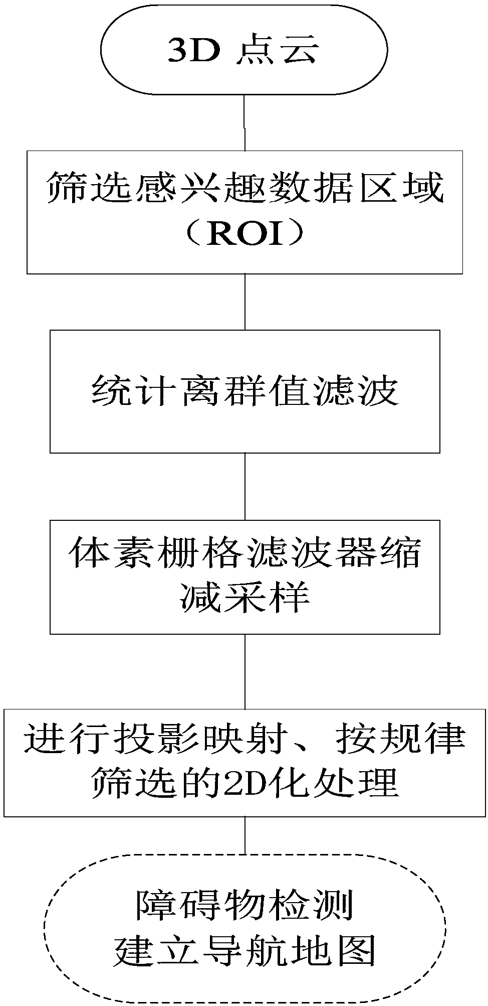
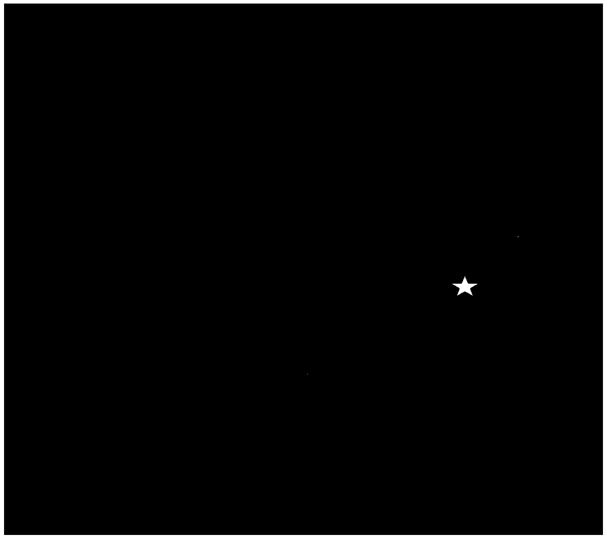
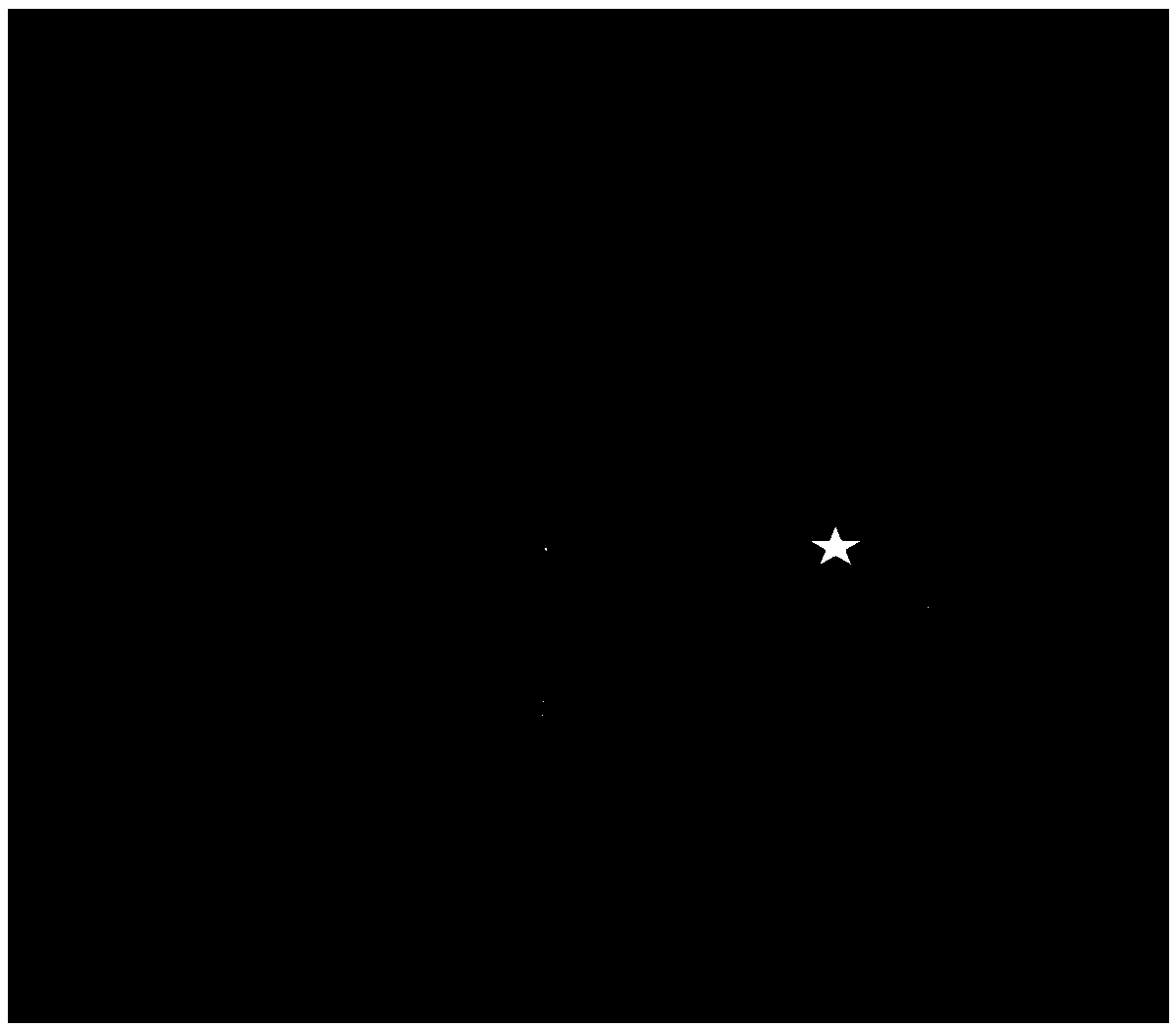
[0022] Embodiments of the present invention are described below in conjunction with the accompanying drawings: this embodiment is implemented on the premise of this technical solution, and detailed implementation methods and processes are provided, but the protection scope of the present invention is not limited to the following embodiments. Figure 2 to Figure 5 , the five-pointed star represents the position of the 16-line lidar, Figure 6 The five-pointed star in the middle represents the position of the single-line lidar.

[0023] In this embodiment, a 16-line laser radar is taken as an example, figure 2 An example of 3D original point cloud is given. The scene is that the lidar is at a height of 1.2 meters from the ground, and the collected results are placed horizontally. Eliminate the processing, the result is as follows image 3 As shown; the downsampling part receives the filtered point cloud data, uses the voxel raster filter to downsample, and the result is as fo...


PUM


Abstract

The invention relates to a multi-line laser radar-based 2D data processing method for 3D point clouds. The method comprises the following steps of: S1, taking original data output by a multi-line laser radar as input, receiving 3D point cloud data and screening an interested data area; S2, taking point cloud data which exceeds a set threshold value in the screened data area as outliers and filtering the outliers by adoption of a statistical outlier filter algorithm; S3, taking the filtered point cloud data as input, and carrying out reduced sampling by adoption of a voxel grid filter so as todecrease the data size of point clouds; and S4, taking the reduced sampled point clouds as input, and carrying out projection mapping and regular screening on a plane to carry out plane 2D processing.According to the method, the defects that the data sizes in 3D processing methods are too large and information in 2D methods is incomprehensive are overcome, 3D obstacles can be projected on 2D images so as to reduce the hardware requirements, and obstacle detection and navigation map establishment can be carried out by users in the process running processes of low-speed unmanned intelligent vehicles.

Description

technical field [0001] The invention belongs to the technical field of unmanned driving, and in particular relates to a method for processing 3D point cloud 2D data based on multi-line laser radar. Background technique [0002] Unmanned vehicles must move steadily and cannot violate safety principles. Multi-line laser radar (Lidar) is a sensor device widely used in unmanned vehicles. Through multi-line lidar, 3D point cloud data of the surrounding environment can be obtained. With the continuous improvement of the measurement accuracy of laser sensors, 3D point cloud data is growing at an alarming rate, up to 100 megabytes per second, resulting in long map reconstruction time and increased computer processing burden. Compared with multi-line laser sensors, single-line laser sensors are cheaper and have a small amount of data. They generate 2D data, which is easy to process and map. However, they can only scan scenes at a certain height and a certain horizontal plane, and t...

Claims


Application Information

Patent Timeline
IPC IPC(8): G06T3/00
CPCG06T3/0037
Inventor 王小华苗中华何创新张智强
Owner SHANGHAI UNIV
Why Eureka
Try Eureka