
Positioning and encircling method for accurate recognition based on unmanned aerial vehicle and unmanned aerial vehicle

A technology for identifying and positioning drones, which is applied in the field of drones and can solve problems such as lack of

Inactive Publication Date: 2018-12-11
福州日兆信息科技有限公司
View PDF24 Cites 5 Cited by
  • Summary
  • Abstract
  • Description
  • Claims
  • Application Information

AI Technical Summary

Problems solved by technology

[0004] At present, the industry lacks a drone that accurately identifies communication towers and locates them around them

Method used

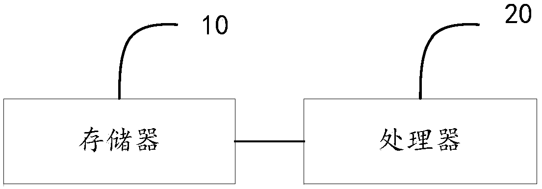

Image

  • Positioning and encircling method for accurate recognition based on unmanned aerial vehicle and unmanned aerial vehicle
  • Positioning and encircling method for accurate recognition based on unmanned aerial vehicle and unmanned aerial vehicle

Examples


Embodiment Construction

[0039] Embodiments of the present invention are described in detail below, examples of which are shown in the drawings, wherein the same or similar reference numerals designate the same or similar elements or elements having the same or similar functions throughout. The embodiments described below by referring to the figures are exemplary only for explaining the present invention and should not be construed as limiting the present invention.

[0040] In view of the problems existing in the survey and inspection work of the current communication towers, such as complex and changeable terrain and landforms in the area, sometimes surveyors and instruments and equipment cannot be reached, this invention proposes a method for precise identification, positioning and surroundings based on drones and a drone.

[0041] It can be understood that the solution of the present invention can not only be used for survey and inspection of communication towers, but also can be used for acquisit...


PUM


Abstract

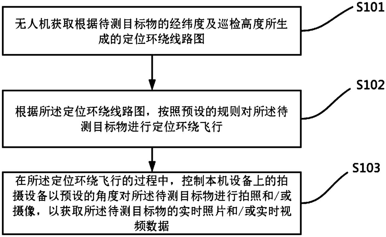
The invention provides a positioning and encircling method for accurate recognition based on an unmanned aerial vehicle and an unmanned aerial vehicle. The positioning and encircling method for accurate recognition based on the unmanned aerial vehicle comprises the steps that the unmanned aerial vehicle obtains a positioning and encircling route map according to the longitude and latitude of a target object to be measured and the tour-inspection height; the unmanned aerial vehicle performs a positioning and encircling flight on the target object to be measured according to preset rules on thebasis of the positioning and encircling route map; and shooting equipment on equipment of the unmanned aerial vehicle is controlled to perform picture taking and / or camera shooting on the target object to be measured at a preset angle in the process of the positioning and encircling flight so as to obtain real-time picture and / or real-time video data of the target object to be measured. The positioning and encircling method for accurate recognition based on the unmanned aerial vehicle realizes accurate recognition for the target object to be measured by using the positioning and encircling route map and the preset rules, and realizes positioning and encircling for the target object to be measured so as to obtain measurement and control data such as the real-time picture and / or real-time video data of the target object to be measured.

Description

technical field [0001] The present invention relates to the technical field of unmanned aerial vehicles, in particular, the present invention relates to a method for precise identification, positioning and surrounding of an unmanned aerial vehicle and an unmanned aerial vehicle. Background technique [0002] With the development of the domestic aviation industry, unmanned aircraft technology is gradually becoming mature, providing updated technical methods and means for power lines, public security fire protection, sea and land patrols, etc. For inspection projects of communication towers, especially some high mountain sites As well as some difficult sites with complex environments, these projects often require "short, flat and fast", short measurement period, heavy tasks, high quality, complex and changeable terrain and landforms in the area, and sometimes surveyors and instruments cannot be reached. The traditional manual survey and inspection method is difficult and ineff...

Claims


Application Information

Patent Timeline
Patent Type & Authority Applications(China)
IPC IPC(8): G05D1/10
CPCG05D1/101
Inventor 王昂
Owner 福州日兆信息科技有限公司
Learn More