A method and device for automatically acquiring house outlines in a three-dimensional oblique photography scene
A technology of oblique photography and automatic acquisition, applied in the field of data modeling, can solve the problems of long acquisition work time, low stability, low acquisition efficiency, etc., and achieve the effect of saving manual operation time, fast calculation time, and small storage capacity
- Summary
- Abstract
- Description
- Claims
- Application Information
AI Technical Summary
Problems solved by technology
Method used
Image
Examples
Embodiment 1
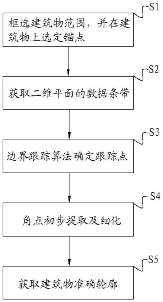
[0041] Such as figure 1 As shown, the method for automatically obtaining the outline of a house in a three-dimensional oblique photographic data scene provided by the embodiment of the present invention includes the following steps:
[0042] Step S1, select the scope of the building, and select an anchor point on the building, the building is a three-dimensional city model established by oblique photogrammetry data, and the three-dimensional city model is composed of a continuous triangular network;
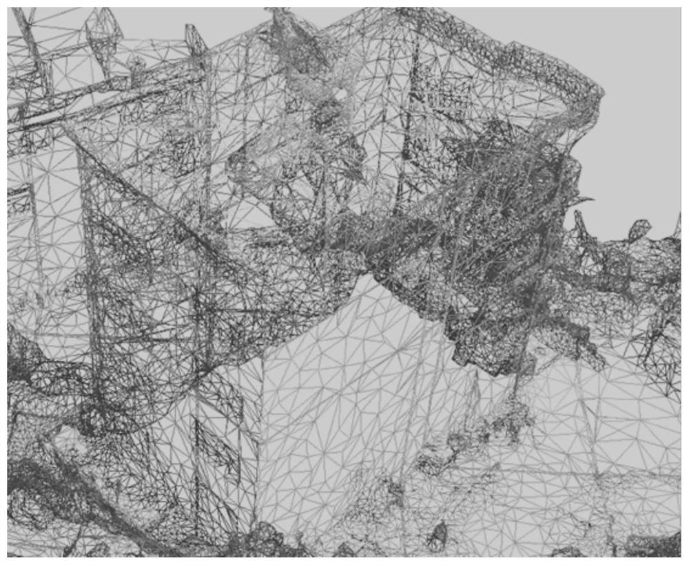
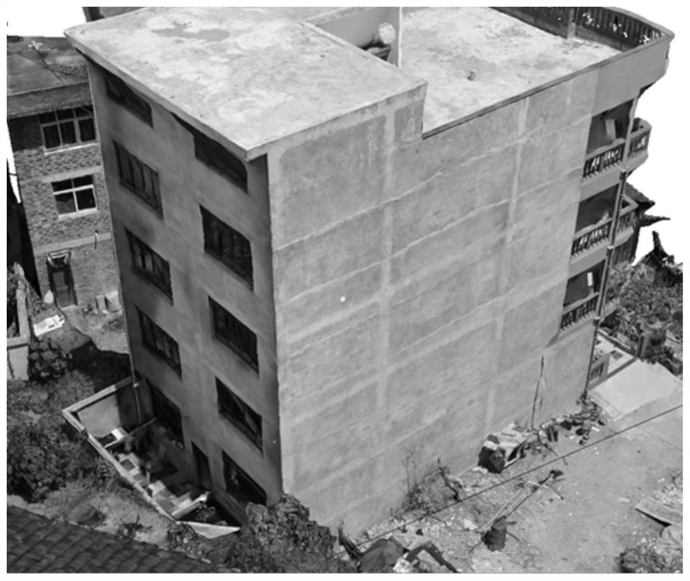
[0043] In this step, if figure 2 As shown in , the 3D city model is composed of continuous triangular networks. In order to narrow the scope of data tracking, such as image 3 As shown, it is necessary to manually select the approximate range of the building, and in order to obtain accurate algorithm results, in general, the selected anchor point falls on the vertical wall of the building with a certain height. In addition, the anchor point elevation Within the deviation range...
Embodiment 2
[0060] Such as Figure 11 As shown, the present invention provides a device for automatically acquiring house outlines in a three-dimensional oblique photographic data scene, which is used to complete the method for automatically acquiring house outlines in a three-dimensional oblique photographic data scene provided by the present invention. The device for automatically obtaining house outlines in the data scene includes the following units:
[0061] Input unit: used to establish a 3D city model, select the building range, and select the starting anchor point of the building;
[0062] Data strip acquisition unit: After filtering out the vertices of the triangular network within the scope of the building, further filtering out the point sets whose elevation values are within a certain deviation range from the anchor point elevation values, and projecting the filtered point sets to the horizontal plane , forming a two-dimensional plane data strip;
[0063] Tracking point ex...
PUM
 Abstract
Description
Claims
Application Information
 - R&D
- Intellectual Property
- Life Sciences
- Materials
- Tech Scout
- Unparalleled Data Quality
- Higher Quality Content
- 60% Fewer Hallucinations
Browse by: Latest US Patents, China's latest patents, Technical Efficacy Thesaurus, Application Domain, Technology Topic, Popular Technical Reports.
© 2025 PatSnap. All rights reserved.Legal|Privacy policy|Modern Slavery Act Transparency Statement|Sitemap|About US| Contact US: help@patsnap.com


