Mountainous region slump geological disaster high position property recognizing method based on landscape unit
A technology of geological disasters and identification methods, which is applied in the directions of scene recognition, height/horizontal measurement, character and pattern recognition, etc., can solve the problems of increased threat of high-level geological disasters, difficulty in hidden danger investigation, low practicability, etc., and achieve the elimination of strong Concealment and difficulty of investigation, avoiding personnel safety damage and property loss, eliminating strong destructive effects
- Summary
- Abstract
- Description
- Claims
- Application Information
AI Technical Summary
Problems solved by technology
Method used
Image

Examples
Embodiment Construction
[0037] The specific embodiments of the present invention are described below so that those skilled in the art can understand the present invention, but it should be clear that the present invention is not limited to the scope of the specific embodiments. For those of ordinary skill in the art, as long as various changes Within the spirit and scope of the present invention defined and determined by the appended claims, these changes are obvious, and all inventions and creations using the concept of the present invention are included in the protection list.
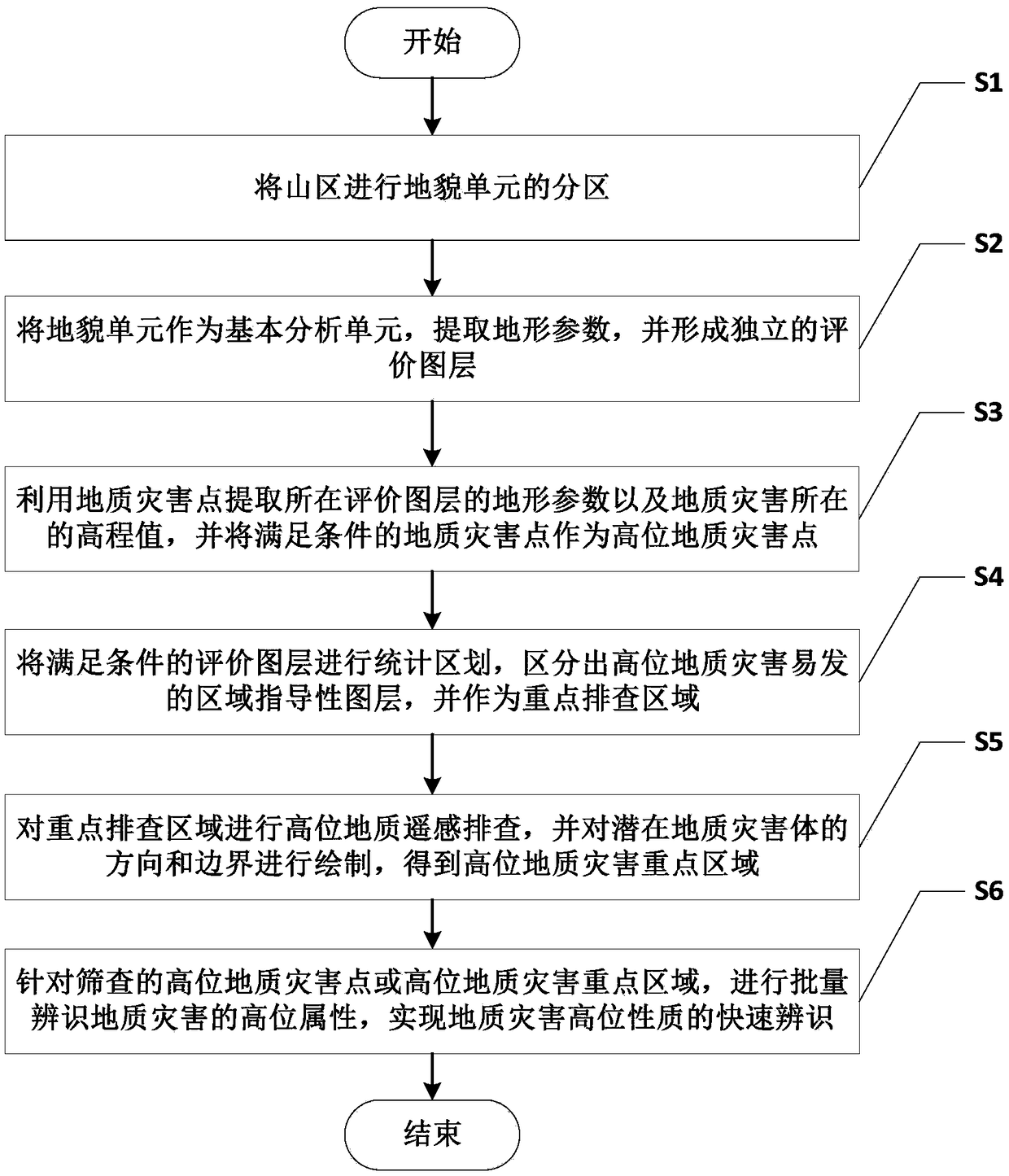
[0038] A method for identifying high-level properties of landslide geological hazards in mountainous areas based on geomorphic units, such as figure 1 shown, including the following steps:
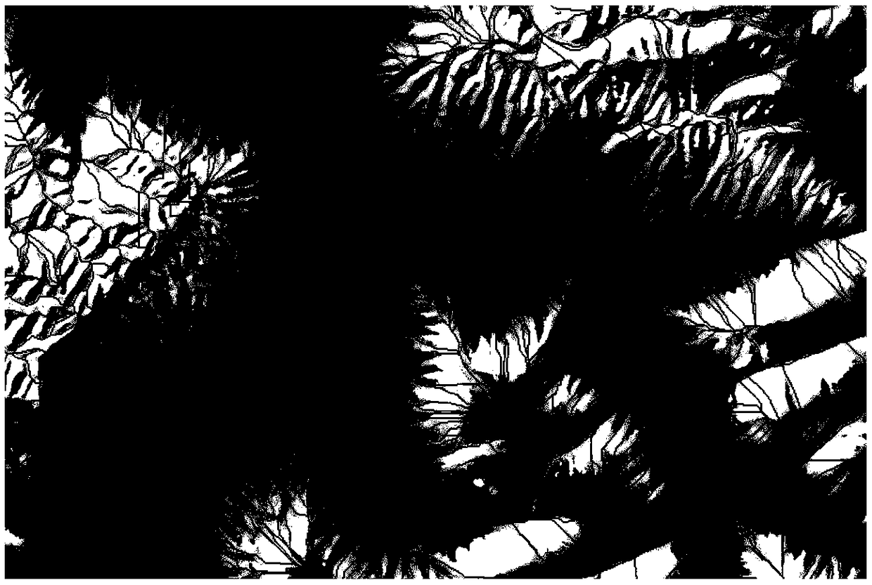
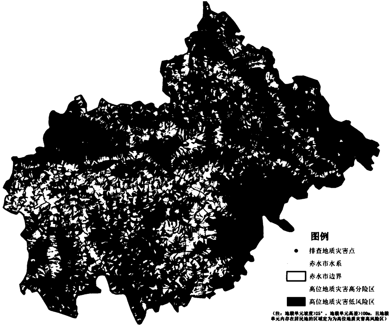
[0039] S1: Divide the mountainous area into geomorphic units, such as figure 2 shown;
[0040] S2: Take the geomorphic unit as the basic analysis unit, extract topographic parameters, and form an independent evaluation layer;
[004...
PUM
 Abstract
Description
Claims
Application Information
PatSnap Eureka turns technology decisions into work you can execute. Powered by our Innovation Knowledge Graph, it runs expert workflows across engineering, life sciences, materials and intellectual property. Get your review-ready output in minutes.


