Hydraulics determination method for utilization range and flood control safety position of compound beach land of mountain river

A technology of safe location and beach land, applied in river regulation and other directions, can solve problems such as reduction of water passing area, lack of scientific basis, and flooding of rivers and buildings inundation disasters.

Active Publication Date: 2019-05-10
SICHUAN UNIV
View PDF6 Cites 5 Cited by
  • Summary
  • Abstract
  • Description
  • Claims
  • Application Information

AI Technical Summary

Problems solved by technology

However, affected by the water blocking effect of crops and buildings on the beach, the water passing area under the same water level is reduced, which in turn leads to the reduction of the flood discharge capacity of the compound river channel, which often causes the flood discharge capacity of the river near the beach. Building flooding disaster
At present, residents in mountainous watersheds lack scientific basis for the use of compound flats, there is no scientific method to guide the usable range of flats, and there is also a lack of appropriate methods to delineate the safe location of the shore area near the flats, so it is difficult Determining the safe range of beach land use often causes flooding and disasters in mountainous rivers and compound beaches after use. Due to the unreasonable range of beach land use, shore buildings, roads, and cultivated land near the beach land are also frequently flooded.

Method used


Image

  • Hydraulics determination method for utilization range and flood control safety position of compound beach land of mountain river
  • Hydraulics determination method for utilization range and flood control safety position of compound beach land of mountain river
  • Hydraulics determination method for utilization range and flood control safety position of compound beach land of mountain river

Examples


Embodiment 1

[0054] In this embodiment, the method for hydraulically determining the utilization range of compound flats in mountainous rivers and the safe location for flood control provided by the present invention will be described in detail.

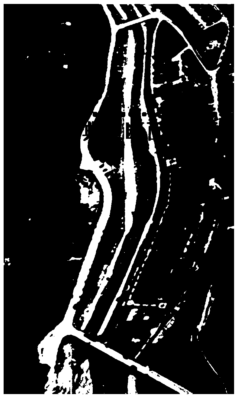
[0055] Longxi River is a primary tributary of the upper reaches of the Minjiang River in Dujiangyan City, with a total length of 18.22km and a drainage area of ​​79km 2 . A section of the lower reaches of the Longxi River was affected by incoming sand from the upper reaches and widening of the channel, forming a wide beach on both sides of the main channel of the river. Due to the need for intensive resettlement of residents in the Wenchuan Earthquake, residential houses were built on the left beach, such as figure 2 as shown, figure 2 It is a photo of the target river section on May 26, 2014 (sourced from Google Earth). However, due to continuous heavy rainfall on August 13, 2010, heavy rain and mountain torrents occurred in the earthquake-s...

Embodiment 2

[0083] In this embodiment, the method for hydraulically determining the utilization range of compound flats in mountainous rivers and the safe location for flood control provided by the present invention will be described in detail.

[0084] Guanshan River is a tributary of the Han River, with a total length of 163km and a drainage area of ​​880km 2 . A section of the middle reaches of the Guanshan River is constrained by bends and widening and narrowing, forming a large beach on the right bank of the river, which is the main agricultural land in the area, such as Figure 5 as shown, Figure 5 It is a photo of the target river section on January 20, 2017 (sourced from Google Earth). On August 6, 2012, affected by heavy rain and flood, the peak flow of Guanshan River reached 2410m 3 / s, leading to the destruction of all good fields in the beach, and the water depth of the beach is about 3m. In the post-disaster reconstruction that began in 2013, the right embankment of the r...


PUM


Abstract

The invention provides a hydraulics determination method for the utilization range and the flood control safety position of a compound beach land of a mountain river, which comprises the following steps: (1) calculating the corresponding flow when different values are taken for the relative water level under the condition of different effective water passing widths of a left beach land and a rightbeach land, and drawing the water level-flow relation graph of a typical section; (2) according to the designed flow of the target river reach and the designed flood control relative water level, calculating the maximum available width of the compound beach land in combination with the water level-flow relation graph; and (3) after determining the actual utilization width of the left beach land and the actual utilization width of the right beach land, calculating the corresponding flow when different values are taken for the relative water level, drawing the water level-flow relation curve, and determining the flood control safety relative water level in combination with the designed flow of the target river reach and the designed flood control relative water level, wherein the position located above the flood control safety relative water level is the flood control safety position.

Description

technical field [0001] The invention belongs to the fields of river beach utilization and mountain torrent disaster prevention and control in mountainous areas, and relates to a hydraulic determination method for the use range of compound beach lands and flood control safety positions of mountainous rivers. Background technique [0002] my country is a mountainous country. The rivers in mountainous areas are constrained by topographic conditions, as well as the steep rise and fall of floods and the change of incoming sediment, forming a compound river form. The river flats are often used by residents as cultivated land, and sometimes the river flats are also used to build residential housing. The watershed area of ​​my country's mountainous areas is 100km 2 There are about 50,000 rivers above, and the compound floodplain formed by them is the main usable area for people's living and agricultural production in the mountainous watershed. There are more than 1,500 county-level...

Claims


Application Information

Patent Timeline
Patent Type & Authority Applications(China)
IPC IPC(8): E02B3/02
Inventor 王协康刘兴年黄尔闫旭峰高吉惠许泽星
Owner SICHUAN UNIV
Why Eureka
Try Eureka