

Unmanned aerial vehicle video augmented reality implementation method
A technology of augmented reality and implementation method, applied in image data processing, 3D modeling, instruments, etc., can solve the problem that the positioning relationship between video and geographic coordinate system is not established, the POS data of UAV is not fully utilized, and the information layer cannot be directly Multiplexing and other issues to achieve the effect of improving processing efficiency, reducing data processing workload, and improving information fusion capabilities
- Summary
- Abstract
- Description
- Claims
- Application Information
AI Technical Summary
Problems solved by technology
Method used
Image


Examples
Embodiment 1
[0045] A method for realizing augmented reality of UAV video based on photogrammetry technology and 3DGIS technology, comprising the following steps:
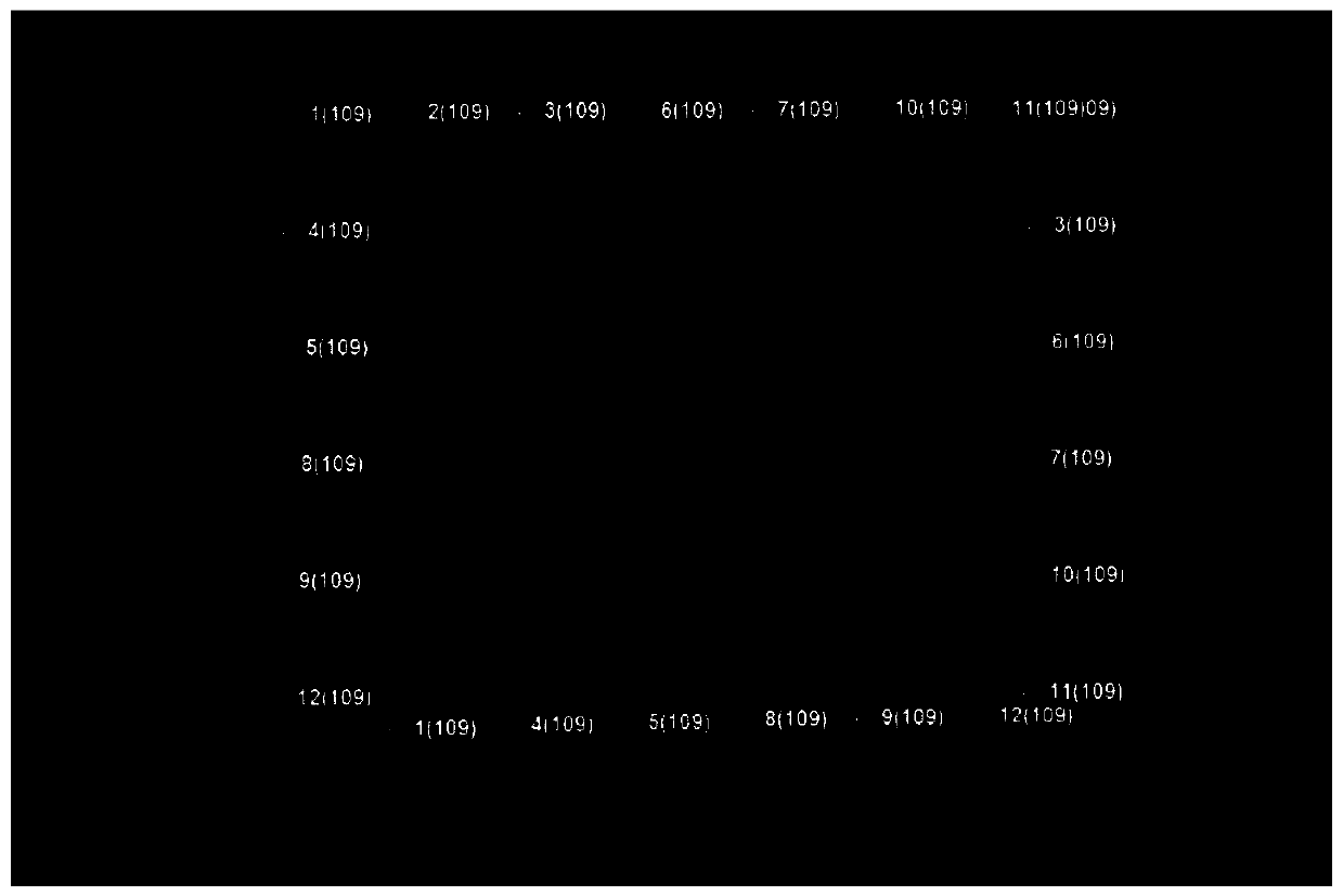
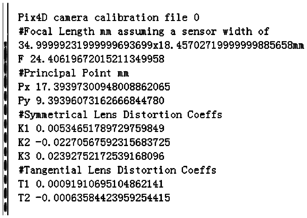
[0046] S1) A consumer-grade multi-rotor UAV that supports 2K and above resolution camera functions is used. The pitch angle of the camera (relative to the swing angle of the downward view) is 30°-60°. figure 1 Fly at a constant speed on the route shown. Such as figure 2 As shown, the photogrammetry method is used to perform free aerial triangulation processing on the aerial photography data of the calibration field, and obtain accurate camera orientation parameters such as field of view, focal length, and lens distortion. The obtained parameter files are as follows: image 3 shown. Then, the UAV uses the camera to collect strip video, and frames the collected video, and obtains key frame images at a ratio of 1 / 10-1 / 30. In this embodiment, the key frame image is obtained according to the ratio of 1 / 10, such as Figure 4 sho...
PUM
 Abstract
Description
Claims
Application Information