A shape scanning method and system
A scanning method and scanning system technology, applied in the field of three-dimensional shape scanning method and device, can solve problems such as traversal area limitation, achieve the effect of improving stability and reliability, and improving scanning measurement efficiency
- Summary
- Abstract
- Description
- Claims
- Application Information
AI Technical Summary
Problems solved by technology
Method used
Image
Examples
Embodiment 1
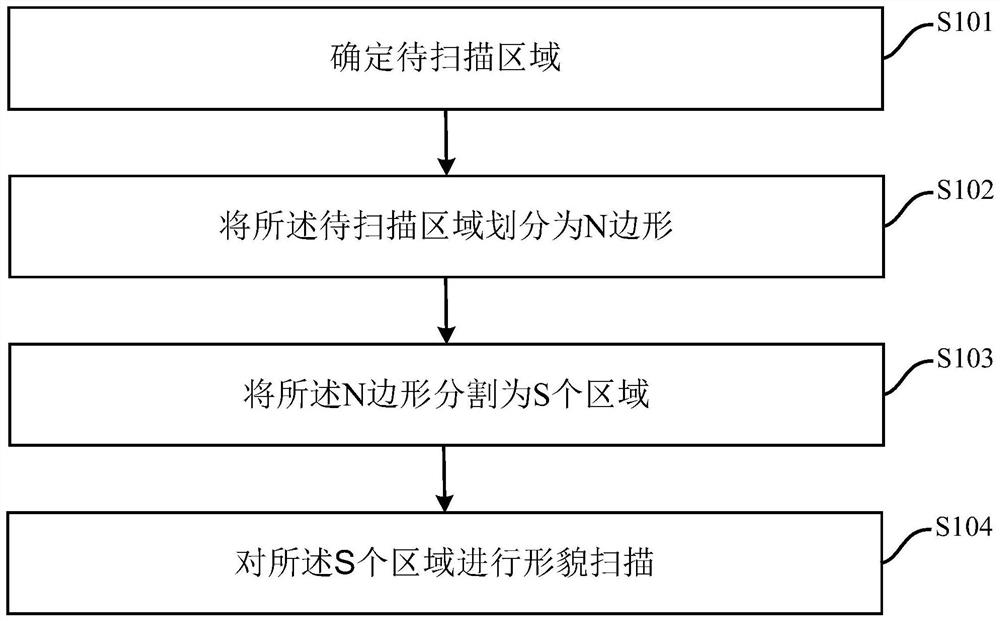
[0058] see figure 1 , is a schematic diagram of a topography scanning method provided in the embodiment of the present application. As shown in the figure, the method includes:
[0059] S101. Determine an area to be scanned.
[0060] S102. Divide the area to be scanned into N polygons.
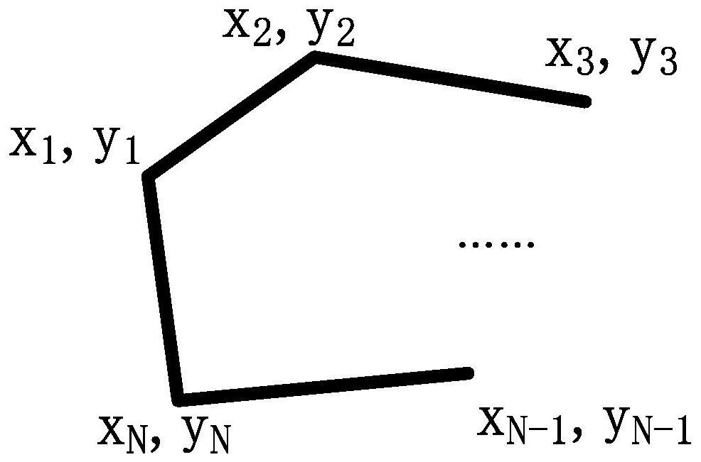
[0061] The N-gon can be an irregular N-gon defined by the user, which is determined according to the topographic features of the area to be scanned.
[0062] It should be noted that the N-gon is a convex N-gon, that is, any internal angle of the N-gon is less than 180 degrees. The size of N is determined by the shape of the area to be scanned and the scanning accuracy requirements, and N is greater than or equal to 3. Generally, the larger N is, the higher the scanning accuracy is.
[0063] Preferably, the area to be scanned is converted into mathematical coordinates first, and then the area to be scanned is divided into N polygons on the mathematical coordinates. Wherein, the origin of t...
Embodiment 2
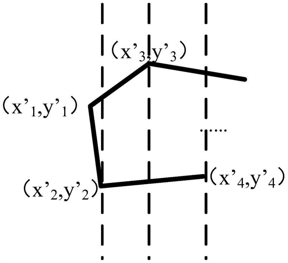
[0102] Such as Figure 8 As shown, this embodiment also provides a topography scanning method. For the cutting method of the segmented area, in addition to cutting along the direction of the ordinate, it can also cut along the direction of the abscissa. In order to achieve cutting along the abscissa direction, the original N-gon can be transformed as follows:
[0103] Step 1, with the origin as the center, the area to be scanned is rotated 90 degrees clockwise;
[0104] The second step is to determine the new mathematical coordinates x', y'. Wherein the origin of the new mathematical coordinates is the initial zero point of the scanning system, x'=-y, y'=x. x, y are the mathematical coordinates before rotation.
[0105] After transformation, on the x', y' coordinates, segment according to the same steps of S103, and scan according to the method of step S104, which will not be repeated in this embodiment.
[0106] Through the method of this embodiment, cutting and scanning...
Embodiment 3
[0108] Such as Figure 9 As shown, this embodiment also provides a topography scanning system, which is used to implement the method described in Embodiment 1 or Embodiment 2 above, and achieve the same effect as Embodiment 1 or Embodiment 2. This embodiment I won't go into details.
PUM
 Abstract
Description
Claims
Application Information
 - R&D
- Intellectual Property
- Life Sciences
- Materials
- Tech Scout
- Unparalleled Data Quality
- Higher Quality Content
- 60% Fewer Hallucinations
Browse by: Latest US Patents, China's latest patents, Technical Efficacy Thesaurus, Application Domain, Technology Topic, Popular Technical Reports.
© 2025 PatSnap. All rights reserved.Legal|Privacy policy|Modern Slavery Act Transparency Statement|Sitemap|About US| Contact US: help@patsnap.com


