Visual localisation

a visual localization and localization technology, applied in the field of visual localisation, can solve the problems of not being able to reliably and accurately determine the location of users inside buildings, no infrastructure supporting localization inside buildings, and smartphones may not be equipped with specialized localization hardware. to achieve the effect of reliable visual localization

Active Publication Date: 2019-06-11
NAVVIS
View PDF7 Cites 2 Cited by
  • Summary
  • Abstract
  • Description
  • Claims
  • Application Information

AI Technical Summary

Benefits of technology

[0051]Query images are matched to virtual views using suitable image retrieval techniques. In exemplary implementations, the invention provides a localization system that is able to robustly determine the orientation and position on a meter-level within fractions of a second.
[0052]Further, in an embodiment there is provided a method for locating images depicting the parts of a plane that are visible in a virtual view. There is also provided a localization system based on this approach that is able to determine the position and orientation of images at locations where no reference images have been captured.
[0053]The present invention is able to use sparsely distributed reference images to perform a reliable visual localisation. In an embodiment, local image features are extracted from virtual viewpoints by identifying planar regions in the virtual images and applying corresponding homography transformations to reference images. By extracting local features from the generated image patches, and combining features from all patches for a viewpoint into a document that is indexed by the CBIR system, the present invention enables determining camera poses far off the mapper trajectory solely based on image retrieval results.
[0056]In a preferred embodiment of the present invention, the localised (real) reference images, which have been recorded along a mapping trajectory, are transformed into virtual viewpoints of arbitrary camera positions and orientations in the environment. The viewpoints are represented by their respective bag-of-features vectors and image retrieval techniques are applied to determine the most likely pose of query images. This can be performed at relatively low computational complexity. As virtual image locations and orientations are decoupled from actual image locations, the system is able to wok with sparse reference imagery and copes well with perspective distortion. Experiments have confirmed that pose retrieval performance is significantly increased compared to conventional systems relying on (real) reference images only.

Problems solved by technology

However, none of the methods available today is able to reliably and accurately determine a user's location inside buildings.
Normally, no infrastructure supporting localization is available inside buildings.
Similarly, smartphones may not be equipped with specialized localization hardware.
However, the application of CBIR to mobile location recognition implies several challenges.
However, when applied to the problem of visual localization, two major problems surface:
Although automated to a large degree, mapping buildings on a large scale is a time-consuming and tedious endeavour, and it is impossible to capture images at every combination of location and orientation that might occur during localization.
In practice, images are captured along a single trajectory only, drastically limiting the resolution of position and orientation estimates as returned by the image retrieval process.
Perspective distortion: The limited affine and perspective invariance of feature descriptors is a severe problem, as a location can be recognized only if a reference image with a pose similar enough to the query image exists.
However, robustness is gained at the expense of distinctiveness, hence such approaches tend to increase recall only, but not precision.
Indoor environments, however, are more challenging, as only few distinctive features are available and perspective distortion is more pronounced, especially in narrow corridors.
However, these methods are computationally expensive or do not have to deal with complex geometric variations.
Increasing feature invariance however, generally deteriorates distinctiveness, which is particularly unfavourable in texture-poor indoor environments.
However, the approach described in this document may be insufficient in case of sparse reference imagery.
Further, occlusions are not handled by this approach, which is of particular importance in indoor environments where obstacles and walls restrict visibility.
However, this approach too is expensive in terms of processing.

Method used


Image

  • Visual localisation
  • Visual localisation
  • Visual localisation

Examples


Embodiment Construction

Plane Segmentation

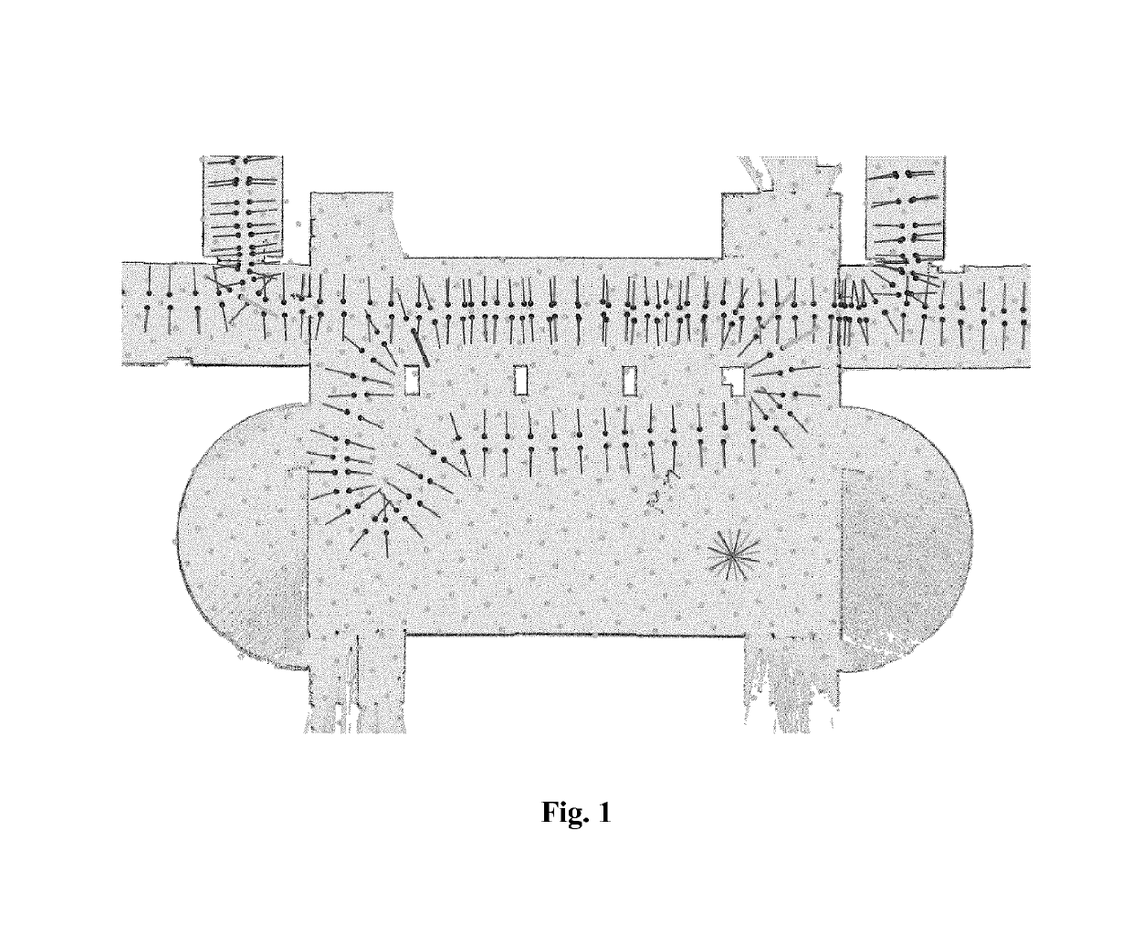
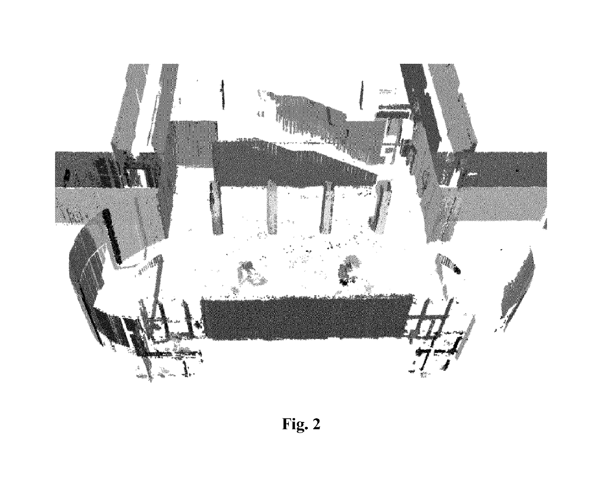
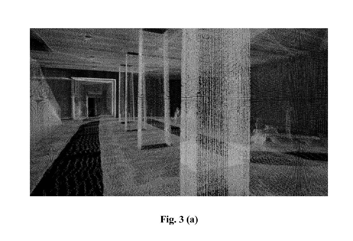
[0074]As described above, the present invention enables the rendering of (partial) images from arbitrary viewpoints in a 3D scene or environment. In an embodiment of the present invention, in order to simplify the mapping phase and the rendering of novel views, triangulation of points to meshes is avoided, and instead predetermined geometric models, such as planes, are used to represent portions / regions of the environment, e.g. building interiors. As projections of a plane into the image space of two cameras are related by a homography (projective transform), viewpoint changes from one camera towards the other can be simulated by applying the projective transform to the former camera's image. In this embodiment, a reference view is chosen as the former camera and its image is transformed to the virtual camera's view by applying the projective transform, which is a function of pose and calibration of the two cameras (reference view and virtual view) and the plane's ...


PUM


Abstract

In an embodiment of the invention there is provided a method of visual localization, comprising: generating a plurality of virtual views, wherein each of the virtual views is associated with a location; obtaining a query image; determining the location where the query image was obtained on the basis of a comparison of the query image with said virtual views.

Description

[0001]This application is a National Stage Application under 35 U.S.C. § 371 of PCT Application No. PCT / EP2013 / 069750, filed, Sep. 23, 2013, which is incorporated by reference herein.BACKGROUND[0002]Contemporary smart phones use various localization methods based on GPS, cellular networks and Wifi networks. However, none of the methods available today is able to reliably and accurately determine a user's location inside buildings.[0003]Normally, no infrastructure supporting localization is available inside buildings. Similarly, smartphones may not be equipped with specialized localization hardware.[0004]With recent advances in content based image retrieval (CBIR), fast visual localization of mobile devices becomes feasible. Accordingly, the visual information that may be made available through a phone's camera is used for location estimation. By comparing the features visible in the image taken by the camera to geo-tagged reference images recorded previously during a mapping run, th...

Claims


Application Information

Patent Timeline
Patent Type & Authority Patents(United States)
IPC IPC(8): G06T19/00G06K9/52G06K9/00G01C21/20G06F16/56G06T7/73G06T7/50G06F16/332G06F16/50G06T3/00G06T7/00G06K9/62
CPCG06K9/52G06K9/6215G06T3/00G06T7/50G06K9/00664G06T19/006G01C21/206G06F16/3328G06F16/50G06F16/56G06T7/74G06T15/205G06T17/00G06V20/10G06T7/75G06T3/0093G06T15/06G06T15/20G06T2207/30244G06F18/22
Inventor STEINBACH, ECKEHARDHUITL, ROBERTSCHROTH, GEORGHILSENBECK, SEBASTIAN
Owner NAVVIS
Why Eureka
Try Eureka