

Method and system for measuring depth to saturated soils
a technology of saturated soil and depth measurement, applied in the direction of seismology for waterlogging, instruments, reradiation, etc., can solve the problems of inability to accurately determine the depth of saturated soil in this manner, difficulty in visual observation of the depth of saturated soil, etc., to improve the determination of depth and improve the effect of depth determination
- Summary
- Abstract
- Description
- Claims
- Application Information
AI Technical Summary
Benefits of technology
Problems solved by technology
Method used
Image

Examples
Embodiment Construction
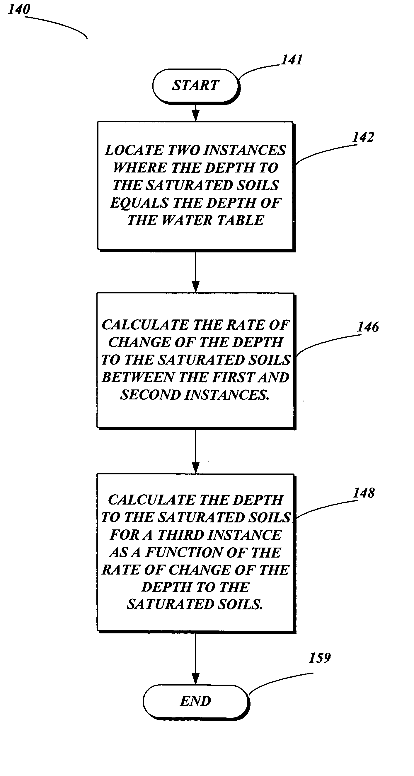
[0040] In one aspect of the present invention, a method 100 for determining the depth to the saturated soil at a particular site, is depicted in FIG. 4. Method 100 starts at block 102. In block 110, a site is selected at which the depth to the saturated soil is to be measured. Next, at block 120, the site is prepared or properly set up to record measurements necessary to determine the depth to the saturated soil.
[0041] Referring to FIG. 5, one embodiment of a method 120 of preparing a site is depicted. First, at least one pit is dug into the ground at the site in block 122. The pit must be deep enough to detect the depth of the water table. Preferably, the pit is deep enough to contain water when the water table is at its greatest depth. In one embodiment, a suitable depth is 18 inches.
[0042] Next, at block 124, at least one water-level probe is placed in each pit to detect the depth of the water table. Each water-level probe may be connected to an automatic data collection device...
PUM
 Abstract
Description
Claims
Application Information