Integrating data from maps on the world-wide web

a data and map technology, applied in the field of data integration, can solve the problems of inability to integrate data from maps on the web, inability to use properties, and inability to use data on the web correctly or inaccurately, and achieve the effect of increasing the effectiveness of location-based matching algorithms

Inactive Publication Date: 2009-01-15
TECHNION RES & DEV FOUND LTD +2
View PDF0 Cites 9 Cited by
  • Summary
  • Abstract
  • Description
  • Claims
  • Application Information

AI Technical Summary

Benefits of technology

[0008]It is an object of the present invention to use properties of integrated objects to increase the effectiveness of location-based matching algorithms.

Problems solved by technology

This makes it difficult for integration methods to use properties, such as names, for discovering corresponding objects.
Another aspect of heterogeneity is incompleteness.
Consequently, an integration method for data on the Web must be efficient, especially if the method is used in a Web service that handles many requests concurrently.Data on the Web can be incorrect or inaccurate.

Method used


Image

  • Integrating data from maps on the world-wide web
  • Integrating data from maps on the world-wide web
  • Integrating data from maps on the world-wide web

Examples


Embodiment Construction

[0024]In the following detailed description of various embodiments, reference is made to the accompanying drawings that form a part thereof, and in which are shown by way of illustration specific embodiments in which the invention may be practiced. It is understood that other embodiments may be utilized and structural changes may be made without departing from the scope of the present invention.

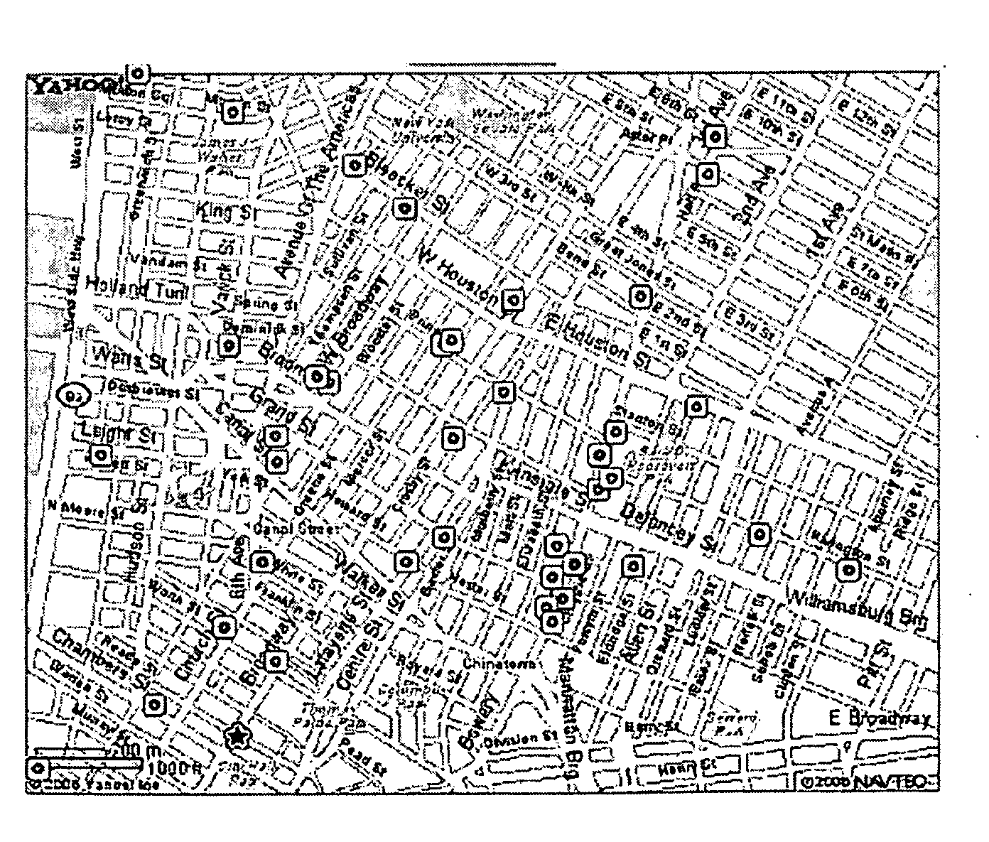
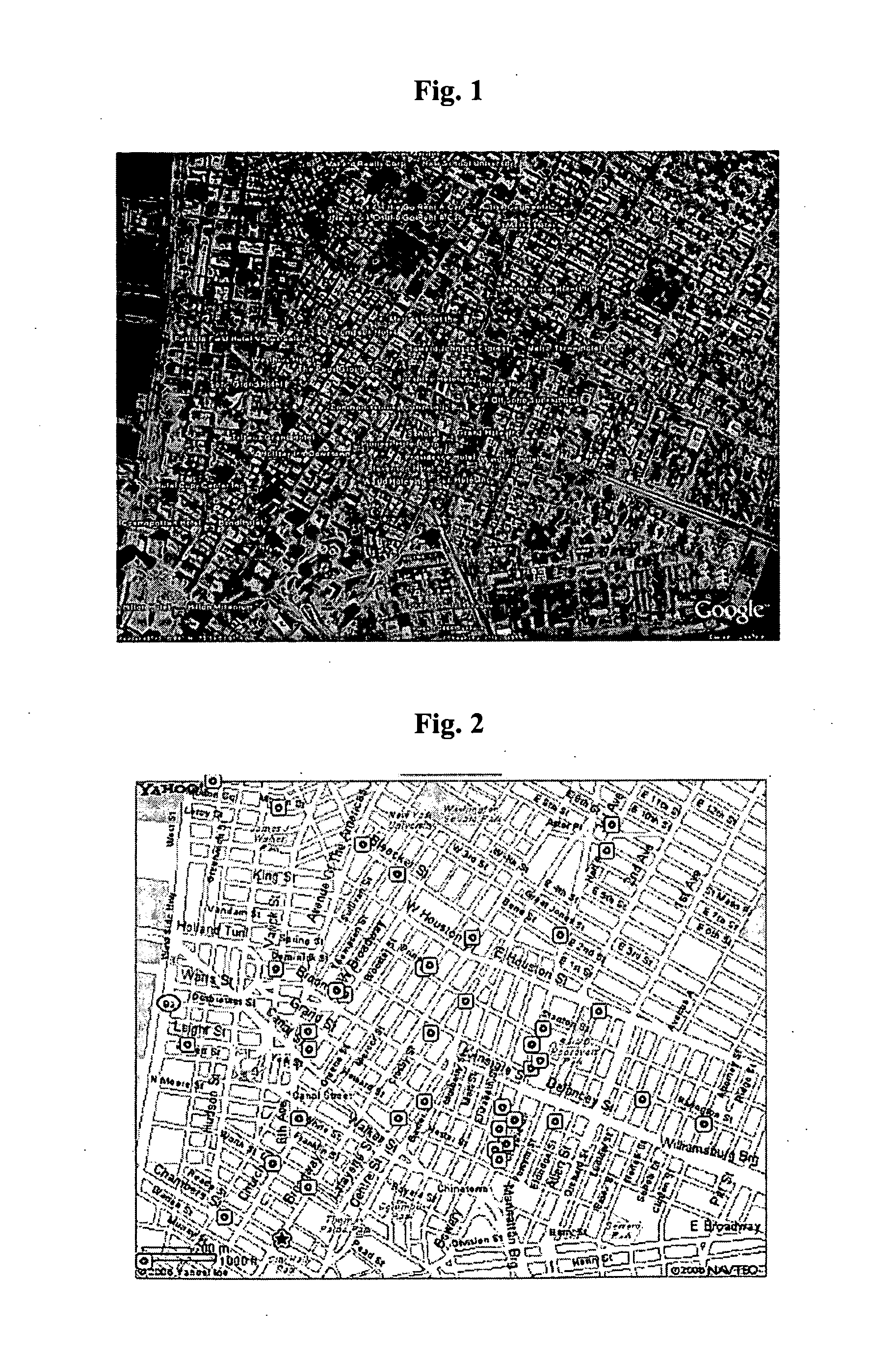
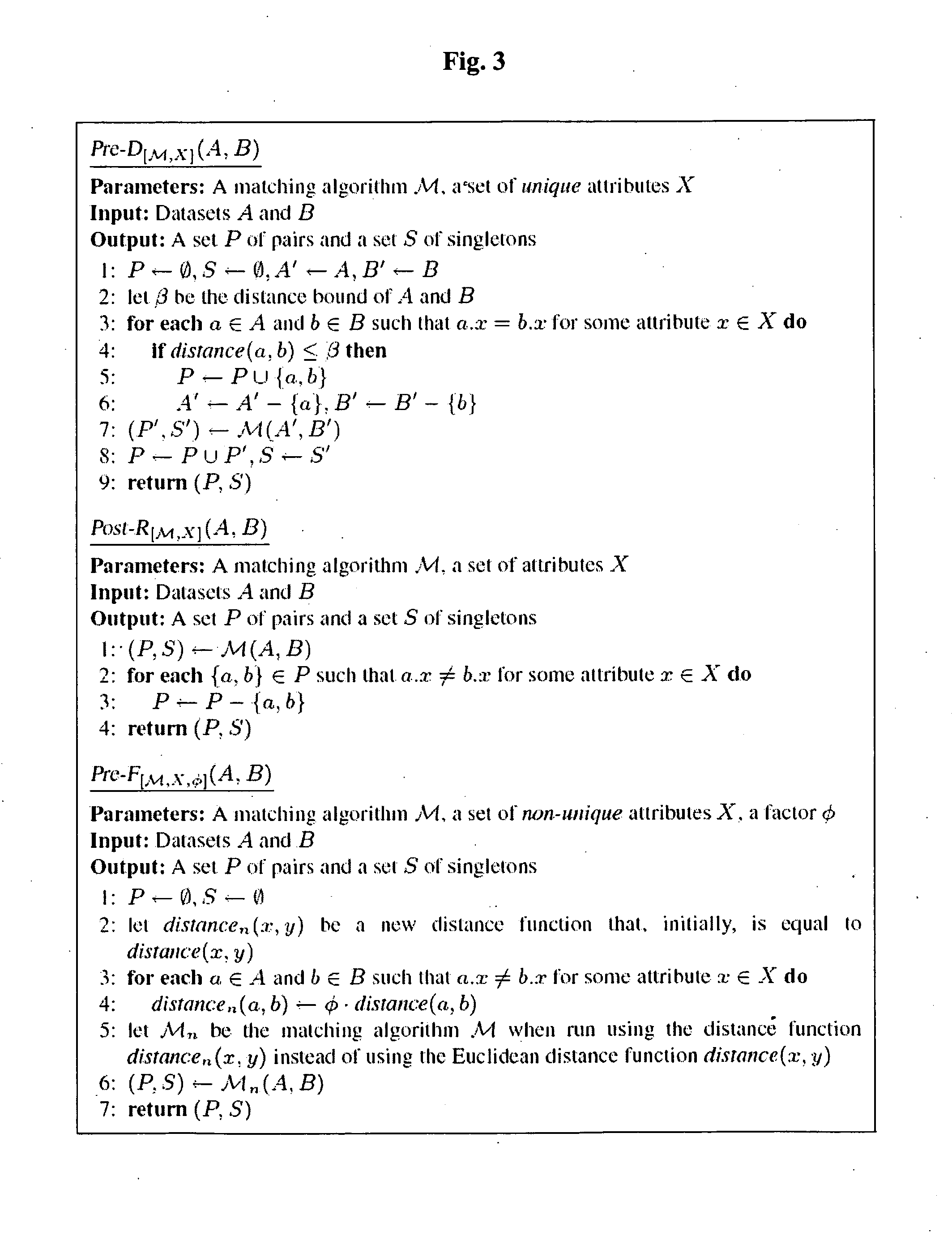
[0025]Because data on the Web can be heterogeneous, can change quickly and can be incorrect or inaccurate as described above, the present invention focuses on techniques that start with location-based matching algorithms and improve them. Relying primarily on locations has the following three advantages. First, locations are always available for spatial objects and their degree of accuracy can be determined relatively easily. Hence, location-based matching algorithms can be applied to objects from any pair of maps. Second, location-based methods are suitable for integration of heterogeneous d...


PUM


Abstract

A method for integrating digital maps, each containing a plurality of geographical objects. A three-step integration process is presented. First, geographical objects are retrieved from maps on the Web. Secondly, pairs of objects that represent the same real-world entity, in different maps, are discovered and the information about them is combined. Finally, selected objects are presented to the user. The proposed process is efficient, accurate (i.e., the discovery of corresponding objects has high recall and precision) and it can be applied to any pair of digital maps, without requiring the existence of specific attributes.

Description

FIELD OF THE INVENTION[0001]The present invention relates to data integration, and more particularly to integration of spatial datasets.1. BACKGROUND OF THE INVENTION[0002]Many maps are available on the World-Wide Web, providing information on geographical entities. The information consists of both spatial and non-spatial properties of the entities. Examples of spatial properties are location and shape of an entity. Examples of non-spatial properties are name and address. The goal of integrating two maps is to enable applications and users to easily access the properties that are available in either one of those maps. Another reason for integration is that some geographical entities may appear in only one of the maps. Integration increases the likelihood that for all the relevant entities, in a specified geographical area, objects that represent these entities are presented to the user.[0003]An integration of two maps consists of the following three steps: extracting geographical ob...

Claims


Application Information

Patent Timeline
Patent Type & Authority Applications(United States)
IPC IPC(8): G06F17/30
CPCG06F17/30241G06F16/29
Inventor SAFRA, ELIYAHUKANZA, YARONSAGIV, YEHOSHUADOYTSHER, YERACH
Owner TECHNION RES & DEV FOUND LTD
Why Eureka
Try Eureka