
System and method for providing road condition and congestion monitoring

a technology for congestion monitoring and road condition, applied in the field of system and method for providing road condition and congestion monitoring, can solve the problems of significant fuel consumption, strong impact on fuel consumption, and significant amount of stop-and-go (deceleration and acceleration)

Inactive Publication Date: 2012-03-15
MASSACHUSETTS INST OF TECH
View PDF8 Cites 96 Cited by
  • Summary
  • Abstract
  • Description
  • Claims
  • Application Information

AI Technical Summary

Problems solved by technology

Start and stop traffic of a vehicle has a strong impact on fuel consumption.
Frequent accelerations and decelerations due to multiple stop-and-go traffic events show significant fuel consumption while making reduced progress along the road.
Whether due to traffic signals or congestion the amount of stop-and-go (decelerations and accelerations) can be significant.
While this is an advance over the traditional approach, GPS-based approaches have deficiencies.
First, GPS is only accurate to approximately five meters.
Assisted GPS, or AGPS, which is a system that can improve the startup performance of a GPS satellite-based positioning system, is even less accurate.
Second, GPS readings require large amounts of power and can only be collected every few seconds.
As a result, the GPS coordinates of vehicles can move a significant amount between “snap shots”.
The requirement for a great amount of data and cleansing of such data is because, while the GPS data may make it possible to infer coarse macroscopic trends, the GPS data is not as useful in identifying traffic buildups on the local scale.
It should be noted that, even if GPS updated frequently, uploading GPS data has an impact on bandwidth consumption.
For at least these reasons, existing approaches used for monitoring traffic and road-conditions suffer in accuracy, reliability, and timeliness.
Further, anticipating factors, such as, but not limited to, fuel consumption, cannot be performed by using distance from a first point to a second point alone.
Devices used for calculating traffic and road-conditions are also limited due to a lack of portability.
GPS devices are typically embedded into a vehicle, or when such devices are portable, the devices do not contain logic for determining traffic conditions.
Thus, a heretofore unaddressed need exists in the industry to address the aforementioned deficiencies and inadequacies.

Method used


Image

  • System and method for providing road condition and congestion monitoring
  • System and method for providing road condition and congestion monitoring
  • System and method for providing road condition and congestion monitoring

Examples


Embodiment Construction

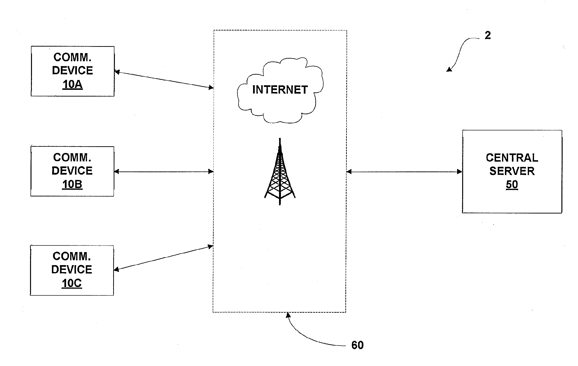
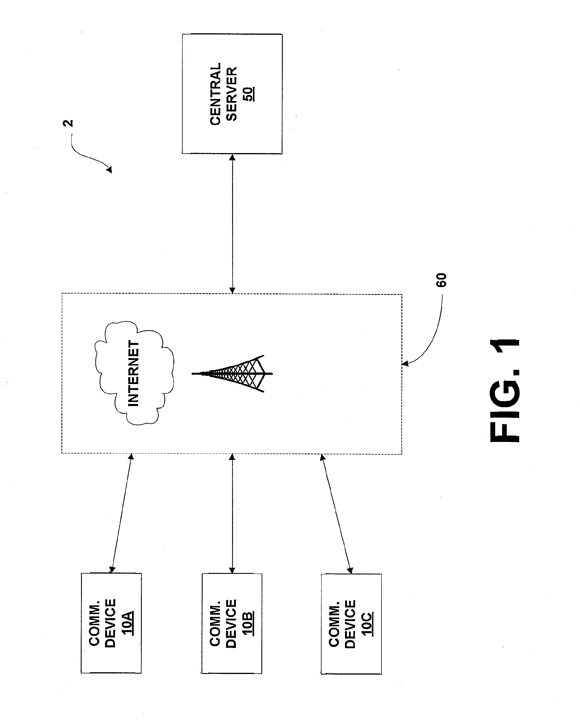
[0021]The present system and method increases the accuracy and reliability of road condition information by providing for aggregation of information regarding vehicle behavior in the context of road and traffic conditions. Rich data packets may be constructed and smart messages may be transmitted, wherein smart messages may either contain the rich data packets or contain only a confirmation of current conditions. In addition, to reduce energy and bandwidth requirements, the system and method may determine when is the best time to transmit smart messages so as to reduce message volume, reduce energy consumption, and reduce computational load. Aggregation of this information may be used for many reasons, including, but not limited to, indicating routes that use the least amount of fuel and determining how different vehicle types perform on different roads.

[0022]In accordance with a first exemplary embodiment of the invention, the present system is provided within a client / server netwo...


PUM


Abstract

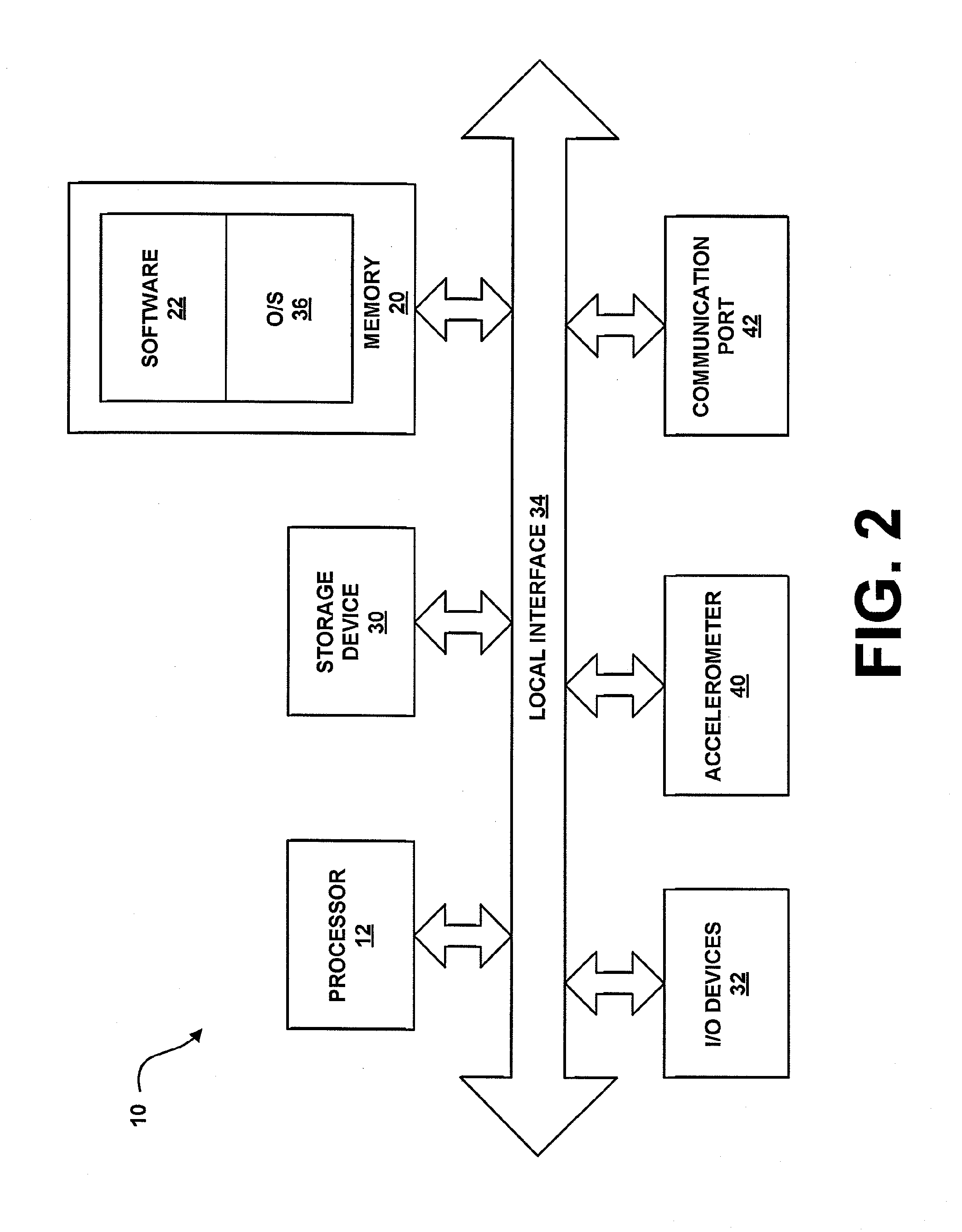
A portable communication device for providing road conditions and monitoring traffic congestion for a user contains a device for sensing orientation of the portable communication device, including acceleration and / or deceleration of a vehicle in which the communication device is located, a memory, and a processor. The processor is configured by the memory to perform the step of calculating space time series data to determine traffic congestion characteristics, wherein the step of calculating space time series data includes at least one step selected from the group consisting of determining position of the portable communication device as a function of time, determining velocity of the portable communication device as a function of time, and determining acceleration of the portable communication device as a function of time.

Description

CROSS-REFERENCE TO RELATED APPLICATIONS[0001]The present application is a continuation-in-part, and claims priority to, copending U.S. patent application Ser. No. 12 / 821,176, filed Jun. 23, 2010, and having the title “SYSTEM AND METHOD FOR PROVIDING ROAD CONDITION AND CONGESTION MONITORING USING SMART MESSAGES,” which is incorporated herein by reference in its entirety.FIELD OF THE INVENTION[0002]The present invention is generally related to traffic and road condition monitoring, and more particularly is related to the use of a portable communication device for providing road condition and congestion monitoring.BACKGROUND OF THE INVENTION[0003]Traffic and road-condition monitoring are keys to drive efficiency, pollution reduction, and city planning. Start and stop traffic of a vehicle has a strong impact on fuel consumption. Frequent accelerations and decelerations due to multiple stop-and-go traffic events show significant fuel consumption while making reduced progress along the ro...

Claims


Application Information

Patent Timeline
IPC IPC(8): G08G1/00
CPCG08G1/0133G08G1/0112
Inventor DESHPANDE, AJAY A.HO, STEPHEN SAI-WUNGOEHLERKING, AUSTIN L.SARMA, SANJAY E.
Owner MASSACHUSETTS INST OF TECH
Learn More