

Rectangular net gridding method for painting contour graph containing rift geological structure
A technology of contour maps and geological bodies, applied in the field of geophysical exploration and mapping, can solve problems such as complex geophysical surfaces, heavy weights, and inaccurate valuations, and achieve the effects of improved search speed, accurate interpolation, and good results
- Summary
- Abstract
- Description
- Claims
- Application Information
AI Technical Summary
Problems solved by technology
Method used
Image

Examples
Embodiment Construction
[0028] The embodiment of the present invention adopts the following steps:
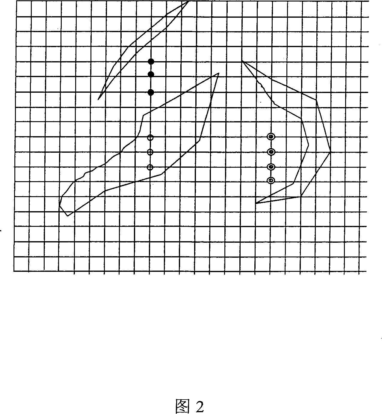
[0029] The first step is to preprocess the discrete point data. Determine a slightly larger range according to the range of the grid, build an index grid based on this range, and index discrete data into the grid.
[0030] Preprocess the discrete point data, that is, create an interpolation grid on the area specified by the user, and build an index grid on an area slightly larger than the interpolation grid. The density of the index grid is that each grid unit contains no more than 4 to 6 data points prevail. The discrete data is projected onto the specific unit of the index grid and the index number of the scattered point is recorded. According to the index grid unit where the interpolation grid node is located, the discrete point in the index grid unit is searched unit by unit from the inside to the outside. This eliminates the need to find data points in the entire array of discrete points, great...
PUM
 Abstract
Description
Claims
Application Information