Integrated three-dimensional data modeling method for comprehensive pipe network geographic information system
A technology of geographic information system and three-dimensional data, which is applied in the field of computer three-dimensional visualization to achieve the effect of meeting the expression requirements
- Summary
- Abstract
- Description
- Claims
- Application Information
AI Technical Summary
Problems solved by technology
Method used
Image
Examples
Embodiment Construction
[0027] Below in conjunction with accompanying drawing, specific embodiment of the present invention is described in further detail:
[0028] The present invention is used for the integrated three-dimensional data modeling method of comprehensive pipeline network geographic information system, and it mainly comprises the following steps:
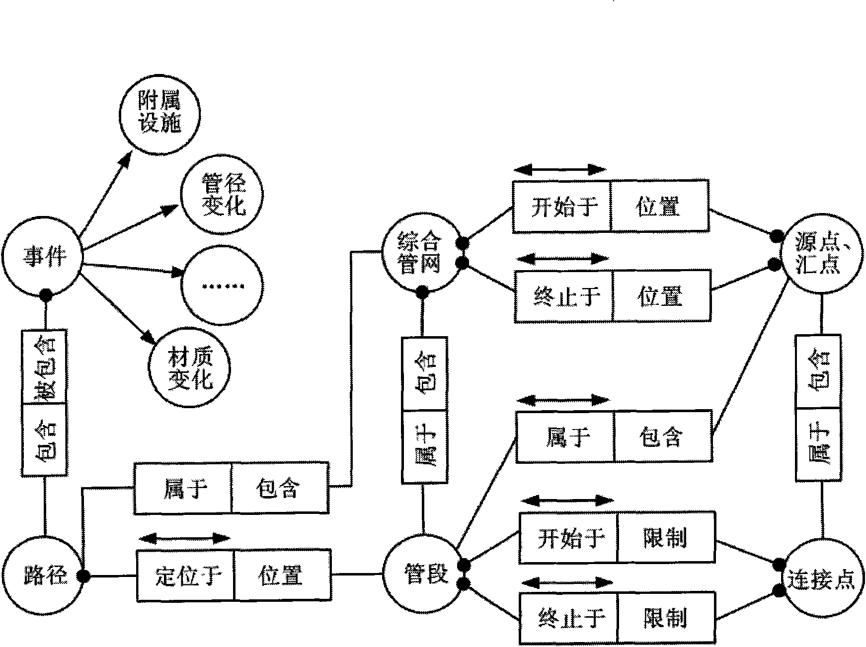
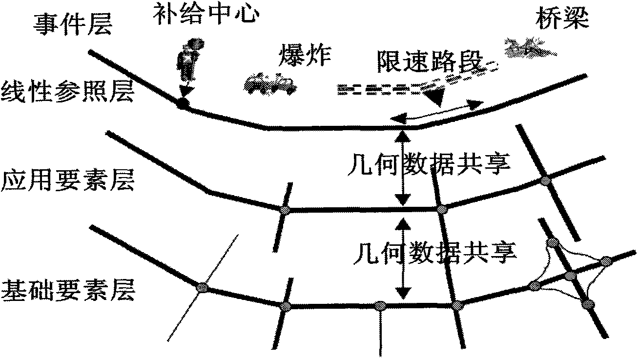
[0029] (1), abstract the elements of the urban comprehensive pipeline network, the elements of the urban comprehensive pipeline network include geographical network chains, geographical network nodes, centers, stations, corners and obstacles, and set their corresponding attributes;
[0030] (2), build the change event of urban comprehensive pipe network, the change event of described urban comprehensive pipe network includes the attribute of urban comprehensive pipe network, physical characteristics and the occasional phenomenon that occurs on the network, sudden event;
[0031] (3), construct the topological relationship of urban comprehensi...
PUM
 Abstract
Description
Claims
Application Information
 - R&D
- Intellectual Property
- Life Sciences
- Materials
- Tech Scout
- Unparalleled Data Quality
- Higher Quality Content
- 60% Fewer Hallucinations
Browse by: Latest US Patents, China's latest patents, Technical Efficacy Thesaurus, Application Domain, Technology Topic, Popular Technical Reports.
© 2025 PatSnap. All rights reserved.Legal|Privacy policy|Modern Slavery Act Transparency Statement|Sitemap|About US| Contact US: help@patsnap.com


