Method and device for publishing spatial data
A kind of spatial data and spatial technology, applied in the field of geographic information system, can solve the problems of data loss and other problems
- Summary
- Abstract
- Description
- Claims
- Application Information
AI Technical Summary
Problems solved by technology
Method used
Image
Examples
Embodiment Construction
[0020] In order to solve the problem in the prior art that data is easily lost due to the use of storage media to interact between different GIS software platforms, the embodiments of the present invention provide a method and device for releasing spatial data.
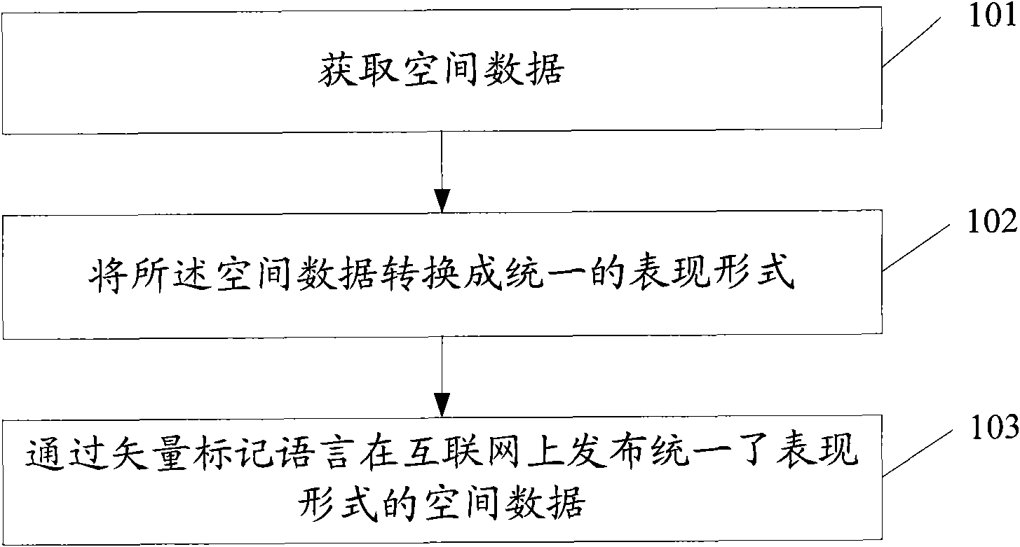
[0021] like figure 1 As shown, the method for publishing spatial data provided by the embodiment of the present invention is applied to a geographic information system, including:
[0022] Step 101, obtaining spatial data;
[0023] Step 102, converting the spatial data into a unified expression form;
[0024] Step 103, publish the spatial data with unified expression on the Internet through the vector markup language.
[0025] The method for publishing spatial data provided by the embodiment of the present invention converts the spatial data into a unified expression form, and publishes the spatial data with the unified expression form on the Internet through vector markup language, so that the same expression form ...
PUM
 Abstract
Description
Claims
Application Information
 - R&D
- Intellectual Property
- Life Sciences
- Materials
- Tech Scout
- Unparalleled Data Quality
- Higher Quality Content
- 60% Fewer Hallucinations
Browse by: Latest US Patents, China's latest patents, Technical Efficacy Thesaurus, Application Domain, Technology Topic, Popular Technical Reports.
© 2025 PatSnap. All rights reserved.Legal|Privacy policy|Modern Slavery Act Transparency Statement|Sitemap|About US| Contact US: help@patsnap.com


