A method for automatic generation of interactive 3D city panorama map
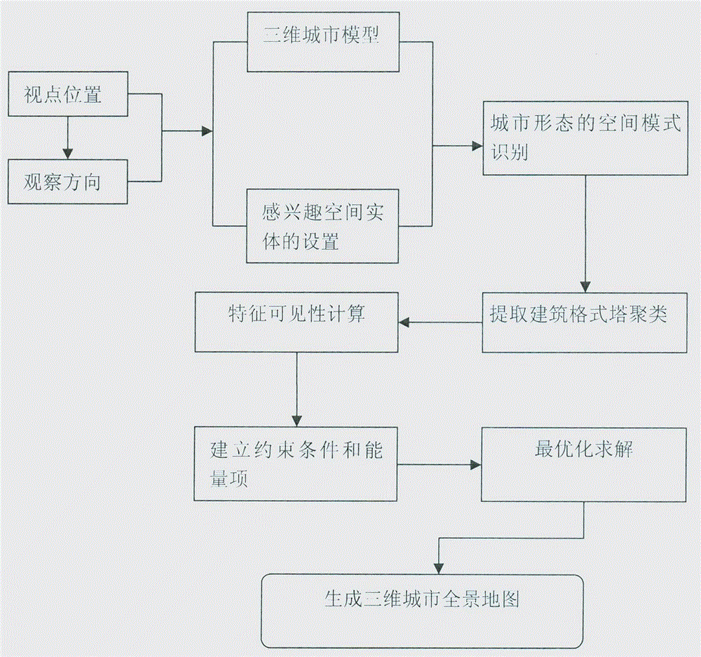
An automatic generation, panoramic map technology, applied in the field of spatial information, can solve the problem that navigation information is difficult to provide spatial information, etc.
- Summary
- Abstract
- Description
- Claims
- Application Information
AI Technical Summary
Problems solved by technology
Method used
Image
Examples
Embodiment 1
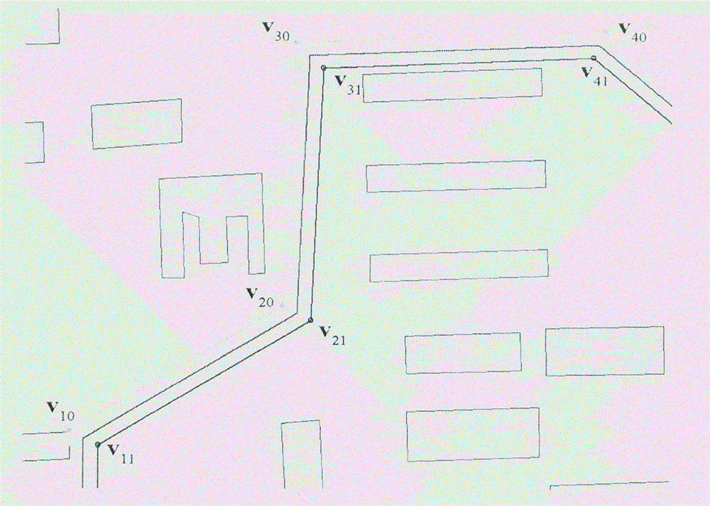
[0258] The method of the present invention is implemented by adopting a piece of terrain and building data (1608 buildings and 1096 road vertices in total) in the urban area of Haidian District, Beijing. In order to fully illustrate the efficiency of the present invention, only the flat-top model of the building without superimposed textures is drawn, while the road data is represented by linear strips. Without panorama view mode turned on, the system can hit a frame rate of nearly 110fps.
[0259] In the panorama view mode, the method of the present invention can still achieve an interactive rate, and the three-dimensional city scene can run at an interactive rate of about 30-40fps. The main calculations in the preprocessing process include urban spatial cognition analysis, establishment of sparse positive definite matrix, calculation of its Cholesky decomposition, and matrix inversion. It takes 1.86 seconds to create DT subgraph and extract Gestalt cluster. The sizes of ...
PUM
 Abstract
Description
Claims
Application Information
 - R&D
- Intellectual Property
- Life Sciences
- Materials
- Tech Scout
- Unparalleled Data Quality
- Higher Quality Content
- 60% Fewer Hallucinations
Browse by: Latest US Patents, China's latest patents, Technical Efficacy Thesaurus, Application Domain, Technology Topic, Popular Technical Reports.
© 2025 PatSnap. All rights reserved.Legal|Privacy policy|Modern Slavery Act Transparency Statement|Sitemap|About US| Contact US: help@patsnap.com


