3D digital earth real-time data processing and management system
A real-time data processing, three-dimensional digital technology, applied in the direction of electrical digital data processing, special data processing applications, instruments, etc., can solve the problems of only focusing on high-precision display and restoration, low efficiency, and cumbersome real-time data processing
- Summary
- Abstract
- Description
- Claims
- Application Information
AI Technical Summary
Problems solved by technology
Method used
Image
Examples
Embodiment Construction
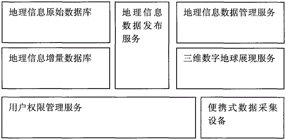
[0013] The specific implementation of the present invention requires the following equipment: a portable data collection device, a geographic information data server, a digital earth display server, and multiple client computers. Specifically include:
[0014] (1) Make original geographic information data, and generate original geographic information data including terrain data, image data, vector data, and building model data through general data processing software. And publish the above data in the geographic information data publishing service.
[0015] (2) Load the released original geographic information data through the 3D digital earth display service and display it on the client computer to realize the basic 3D digital earth scene. And based on the three-dimensional digital earth scene, the terrain can be edited, modified and stored.
[0016] (3) Field data collection personnel carry portable data collection equipment to collect the latest data and generate incremen...
PUM
 Abstract
Description
Claims
Application Information
 - R&D
- Intellectual Property
- Life Sciences
- Materials
- Tech Scout
- Unparalleled Data Quality
- Higher Quality Content
- 60% Fewer Hallucinations
Browse by: Latest US Patents, China's latest patents, Technical Efficacy Thesaurus, Application Domain, Technology Topic, Popular Technical Reports.
© 2025 PatSnap. All rights reserved.Legal|Privacy policy|Modern Slavery Act Transparency Statement|Sitemap|About US| Contact US: help@patsnap.com

