Multi-factor geologic risk evaluation method based on parallel coordinate
A parallel coordinate and risk assessment technology, applied in the field of geological risk assessment of oil and gas exploration, can solve problems such as lack of in-depth analysis of correlation, and achieve the effect of optimizing the evaluation parameter system
- Summary
- Abstract
- Description
- Claims
- Application Information
AI Technical Summary
Problems solved by technology
Method used
Image
Examples
Embodiment Construction
[0044] Below in conjunction with accompanying drawing, the present invention is described in further detail:
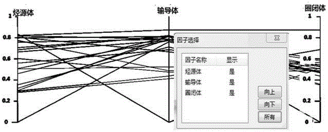
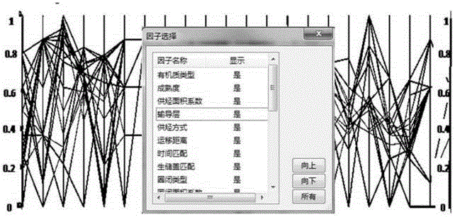
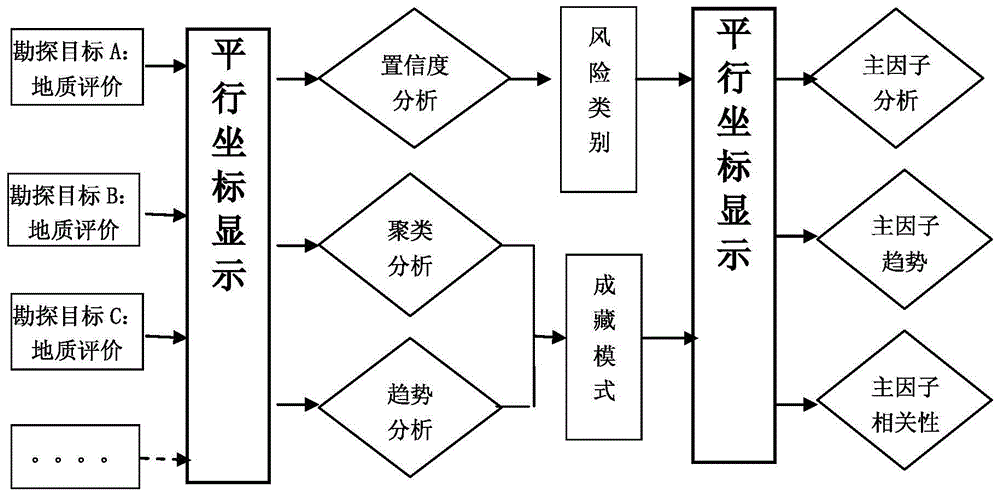
[0045] The essence of the existing problems in the prior art is information mining and intuitive interactive display of multi-dimensional attributes of exploration objects. In view of the above-mentioned problems in the field of petroleum exploration and development, it is positioned to further enhance the various multivariate statistical analysis capabilities of massive data, and introduce parallel coordinate visualization technology to reflect the changing trend of multi-dimensional information and the relationship between variables.
[0046] This method is based on the evaluation of geological factors of a single exploration target, and based on the software of parallel coordinates, the geological risk assessment of multiple exploration targets is carried out. The geological risk assessment results provide auxiliary decision-making for the selection of exploration t...
PUM
 Abstract
Description
Claims
Application Information
 - R&D
- Intellectual Property
- Life Sciences
- Materials
- Tech Scout
- Unparalleled Data Quality
- Higher Quality Content
- 60% Fewer Hallucinations
Browse by: Latest US Patents, China's latest patents, Technical Efficacy Thesaurus, Application Domain, Technology Topic, Popular Technical Reports.
© 2025 PatSnap. All rights reserved.Legal|Privacy policy|Modern Slavery Act Transparency Statement|Sitemap|About US| Contact US: help@patsnap.com


