IDTCM based remote sensing ground surface temperature and time normalization method
A surface temperature, normalization technology, used in remote sensing applications, can solve the problem that the model cannot overcome wind speed fluctuations, etc.
- Summary
- Abstract
- Description
- Claims
- Application Information
AI Technical Summary
Problems solved by technology
Method used
Image
Examples
Embodiment Construction
[0045] The technical solution of the present invention will be described in detail below in combination with the embodiments and the accompanying drawings.
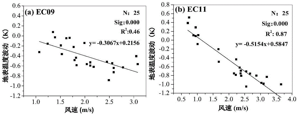
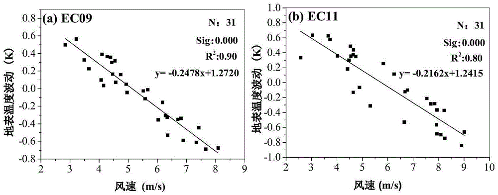
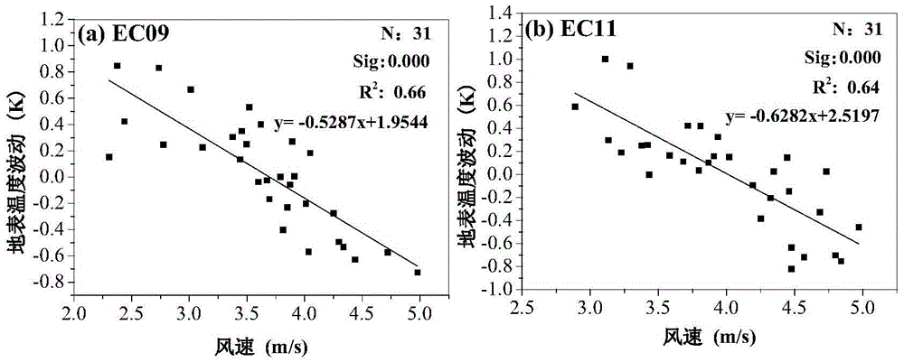
[0046] The embodiment selects the adjacent areas of Zhangye City, Gansu Province for research, and the specific research area is the core test area in the Heihe River Basin Ecological-Hydrological Process Integrated Remote Sensing Observation Joint Test (HiWATER) Intensive Observation Test Area. The study area is rich in land use / cover types. The study area is located in Northwest China, and the daytime weather is mostly sunny with little cloud, and there are 3 to 4 northwest winds during most of the daytime. Therefore, this research area is suitable for studying the influence of wind speed and fluctuation intensity on the application results of the intraday temperature cycle model under sunny weather conditions. Examples Two examples are used to illustrate the effect of time normalization of surface temperature based on...
PUM
 Abstract
Description
Claims
Application Information
 - R&D
- Intellectual Property
- Life Sciences
- Materials
- Tech Scout
- Unparalleled Data Quality
- Higher Quality Content
- 60% Fewer Hallucinations
Browse by: Latest US Patents, China's latest patents, Technical Efficacy Thesaurus, Application Domain, Technology Topic, Popular Technical Reports.
© 2025 PatSnap. All rights reserved.Legal|Privacy policy|Modern Slavery Act Transparency Statement|Sitemap|About US| Contact US: help@patsnap.com


