

High-performance remote sensing image synthesis method and device
A remote sensing image and synthesis method technology, applied in the field of remote sensing image processing, can solve the problems of difficulty in ensuring the color consistency of the substitute area, image quality degradation, and heavy workload, so as to improve the calculation and processing efficiency, ensure the color consistency, improve the The effect of image utilization
- Summary
- Abstract
- Description
- Claims
- Application Information
AI Technical Summary
Problems solved by technology
Method used
Image

Examples
Embodiment 1
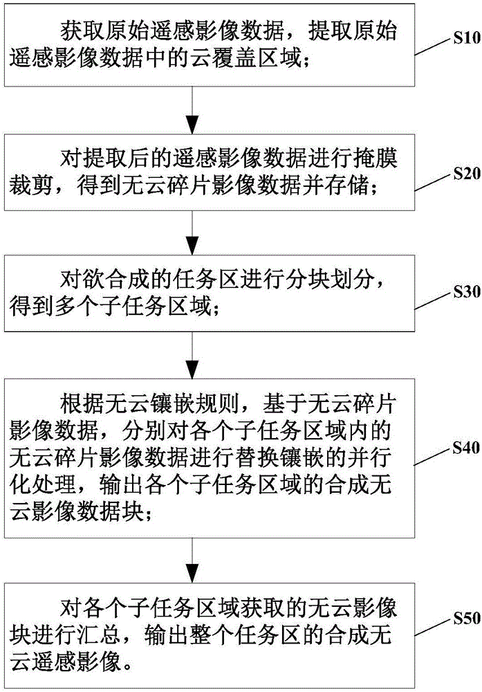
[0060] Such as figure 1 As shown, the present invention provides a method for synthesizing remote sensing images, which includes the following steps:
[0061] S10, acquiring original remote sensing image data, and extracting cloud coverage areas in the original remote sensing image data;
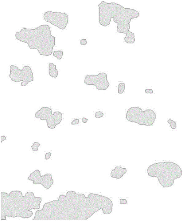
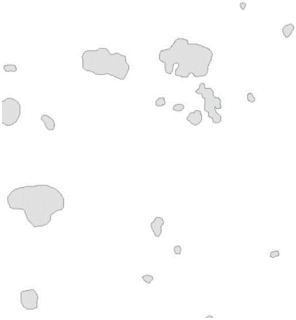
[0062] S20, performing mask clipping on the extracted remote sensing image data to obtain cloud-free debris image data and
[0063] storage;
[0064] S30, dividing the task area to be synthesized into blocks to obtain multiple sub-task areas;
[0065] S40, according to the cloud-free mosaic rule, based on the cloud-free fragment image data, respectively perform parallel processing of replacing and mosaicking the cloud-free fragment image data in each sub-task area, and output the synthesized cloud-free image data blocks of each sub-task area;
[0066] S50. Summarize the cloud-free image blocks acquired in each sub-task area, and output a synthetic cloud-free remote sensing image of the en...
Embodiment 2
[0077] On the basis of Embodiment 1, this embodiment provides a remote sensing image synthesis device, such as Figure 10 As shown, it includes: a preprocessing module 10, which is used to obtain the original remote sensing image data, and extract the cloud coverage area in the original remote sensing image data; a cropping module 20, which is used to perform mask cutting on the extracted remote sensing image data, to obtain Cloud-free fragment image and storage; Area division module 30, it is used for carrying out a plurality of sub-task areas division to task area, obtains at least one sub-task area; Replace mosaic processing module 40, it is used for carrying out sub-task area according to cloud mosaic rule Parallel replacement and mosaic processing, outputting the synthetic cloud-free image data block corresponding to the sub-task area; the summary module 50, which is used to summarize the synthetic image data blocks of multiple sub-task areas, and output the synthetic clou...
PUM
 Abstract
Description
Claims
Application Information