
Method of quickly counting transportation vehicles in region

A technology for counting areas and transportation, which is applied in the field of vehicle satellite positioning, and can solve the problems of the long time required for the number of transportation vehicles and the inability to use them

Active Publication Date: 2017-06-20
中电通途(北京)科技有限公司
View PDF3 Cites 5 Cited by
  • Summary
  • Abstract
  • Description
  • Claims
  • Application Information

AI Technical Summary

Problems solved by technology

Using this method to judge whether a single GPS point is in a polygonal area does not take much time, but when the number of transport vehicles increases and the frequency of returning GPS data increases, for example, there are 66,700 taxis in Beijing. The data is sent back every 20 seconds. The peak value of GPS data is 1500 pieces per second. It takes longer and longer to determine whether a large number of GPS points belong to which areas. It takes longer and longer to count the number of transport vehicles in each area in real time. use

Method used


Image

  • Method of quickly counting transportation vehicles in region
  • Method of quickly counting transportation vehicles in region
  • Method of quickly counting transportation vehicles in region

Examples


Embodiment Construction

[0021] The present invention will be further described below in conjunction with the accompanying drawings and specific embodiments.

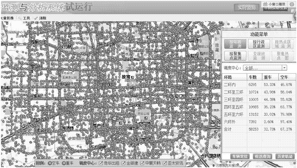
[0022] The specific implementation method takes the administrative area statistics in the Beijing taxi dynamic operation monitoring and analysis platform as an example.

[0023] The Beijing taxi dynamic monitoring system is a management system specially built to manage 66,700 taxis in Beijing. The main functions are to display the real-time geographic location of taxis in the city, analyze the rate of departure by region or taxi company, find and locate a single taxi, view the historical track of a single taxi, fuzzy search for historical tracks, etc. The system is composed of application server, GIS server and database server. Among them, the database server is Inspur Godson 3B server, two 1.2GHz CPUs, 32G memory, and 1T storage. The GIS server is an Inspur Godson 3B server with 2 CPUs and 32G memory. The application server is an Inspur Loo...


PUM


Abstract

A method of quickly counting the transportation vehicles in a region belongs to the technical field of vehicle satellite positioning. The method involves a regional grid index file, a satellite positioning data receiving service module, and a transportation vehicle region statistical service module. First, a region needing statistics is preprocessed, and a regional grid index file is generated. Then, the satellite positioning data receiving service module receives transportation vehicle positioning data sent in real time through Socket, and sends the transportation vehicle positioning data to the transportation vehicle region statistical service module. The transportation vehicle region statistical service module reads the regional grid index file, and matches the GPS data received from the satellite positioning data receiving service module to a region. By using the method of the invention, while there is certain loss in the accuracy of statistics, computation on the regions to which transportation vehicle GPS points belong only needs a few CPU clock cycles, and the computing speed is increased greatly.

Description

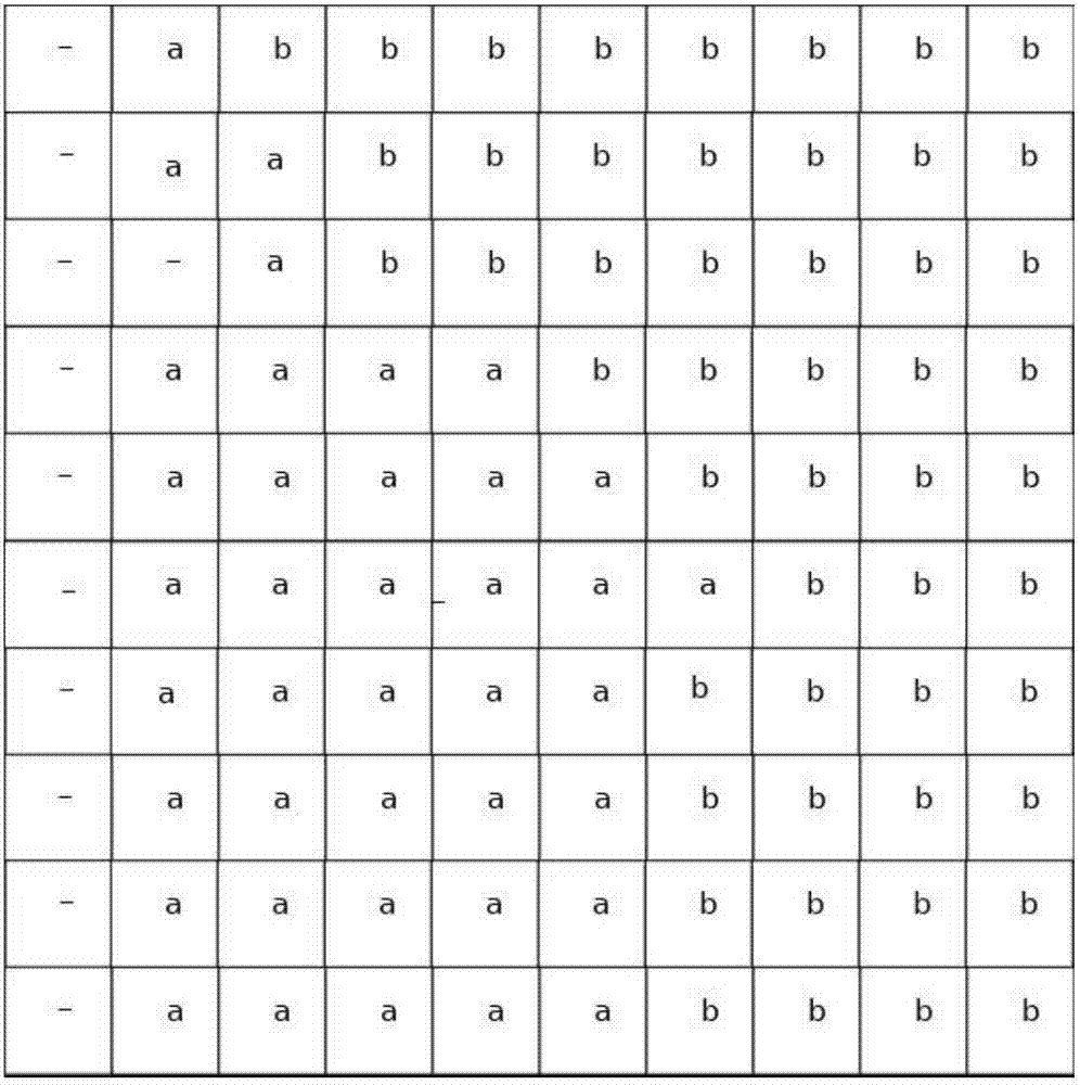
technical field [0001] The invention relates to a method for quickly counting the number of transport vehicles in an area according to real-time GPS (Global Position System) data transmitted back by road transport vehicles, and belongs to the technical field of vehicle satellite positioning. Background technique [0002] Vehicle satellite positioning technology is a technology in which transport vehicles locate their own position by receiving global satellite positioning system satellite signals, and transmit the position information back through the mobile network. According to the satellite positioning data, the system counts the quantity in each area (such as administrative area, key area, hotspot area) in real time in the system, which is widely used in taxi management system, bus management system, and hazardous chemical vehicle management system. Administrative regions, key regions, and hotspot regions are generally irregular polygons in GIS (Geographic Information Sys...

Claims


Application Information

Patent Timeline
IPC IPC(8): G01S19/42G06F17/30
CPCG01S19/42G06F16/29
Inventor 张永才程磊陈智宏
Owner 中电通途(北京)科技有限公司
Learn More