Supercharge Your Innovation With Domain-Expert AI Agents!

WebGIS-based archaeological geophysical data visualization platform construction method

A technology of geophysical data and construction method, applied in the field of construction of archaeological geophysical data visualization platform, can solve problems such as lack of union, achieve rapid sharing, achieve unified and effective management, and facilitate interpretation

Active Publication Date: 2017-08-18
ZHEJIANG UNIV
View PDF2 Cites 7 Cited by
  • Summary
  • Abstract
  • Description
  • Claims
  • Application Information

AI Technical Summary

Problems solved by technology

[0002] Relying on advanced detection technology, scientific and technological archaeology has greatly improved the detection range, detection depth and detection accuracy, but the current status quo is that there is a lack of necessary integration between various methods to form an organic whole

Method used


Image

  • WebGIS-based archaeological geophysical data visualization platform construction method
  • WebGIS-based archaeological geophysical data visualization platform construction method
  • WebGIS-based archaeological geophysical data visualization platform construction method

Examples


Embodiment Construction

[0020] In order to make the object, technical solution and advantages of the present invention clearer, the implementation manners of the present invention will be further described below in conjunction with the accompanying drawings.

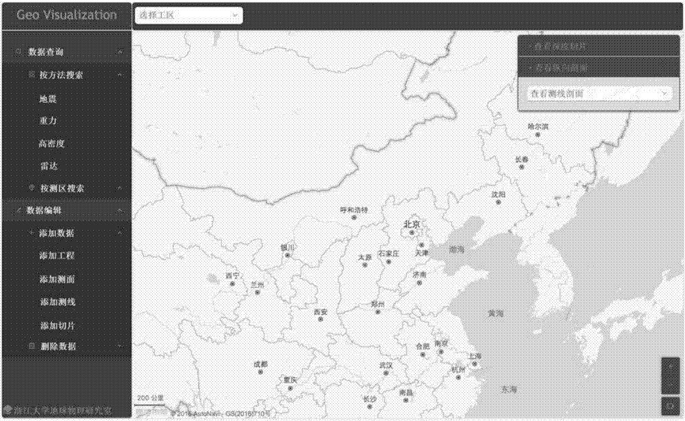
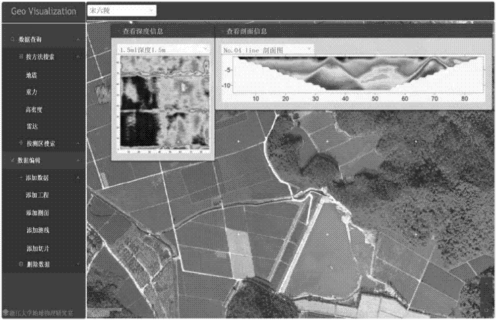
[0021] A construction method of a WebGIS-based archaeological geophysical data visualization platform of the present invention. It realizes the visual management of archaeological geophysical data through the secondary development of WebGIS, and improves the sharing and management capabilities of archaeological geophysical data.

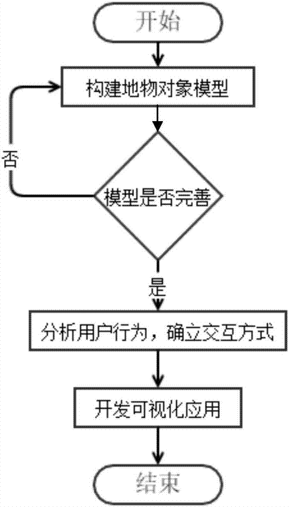
[0022] The method specifically includes the following steps: the model mainly includes: GeophysicsMethod model, used to describe the geophysical prospecting method; GeophysicsProject model, used to describe geophysical engineering; GeophysicsSurveyArea model, used to describe the object detection area; GeophysicsSurveyLine model, used to describe the object detection line and Its profile; GeophysicsSlice model, used t...


PUM


Abstract

The invention discloses a WebGIS-based archaeological geophysical data visualization platform construction method. The method comprises the following steps of: designing a geophysical prospecting object model; and constructing an archaeological geophysical data visualization platform, wherein the platform is designed by adoption of three-layer structure: providing model data of archaeological geophysics by a data access layer, encapsulating the model data and pushing the encapsulated model data to a business logic layer; re-encapsulating the object model by the business logic layer and pushing the data to a presentation layer; and encapsulating the model data into covering suitable for WebGIS display by the presentation layer, and providing platform visualized query / retrieval and data share functions for users. Facing the demands of archaeological geophysical data management, maintenance and display, the platform combines the archaeological, geophysical data and spatial position information through a GIS, so as to provide a data management manner which is convenient to visualize and operation-friendly, and realize data share.

Description

technical field [0001] The invention relates to the fields of archaeological geophysics, geographic information system and Web platform development. In particular, it involves data management and visualization in the field of archaeological geophysics, specifically a construction method of a WebGIS-based archaeological geophysical data visualization platform. Background technique [0002] Relying on advanced detection technology, scientific and technological archeology has greatly improved the detection range, detection depth and detection accuracy, but the current status quo is that there is a lack of necessary integration between various methods to form an organic whole. Therefore, how to promote the sharing and integration of multi-method data in scientific and technological archaeology is the direction of the development of modern archaeological technology. So as a data center and distribution center, the demand for building an archaeological geophysical data platform i...

Claims


Application Information

Patent Timeline
Patent Type & Authority Applications(China)
IPC IPC(8): G06F17/30
CPCG06F16/29G06F16/444G06F16/9577
Inventor 王旭琦王帮兵田钢石战结赵文轲蔚林哲
Owner ZHEJIANG UNIV
Features
  • R&D
  • Intellectual Property
  • Life Sciences
  • Materials
  • Tech Scout
  • Unparalleled Data Quality
  • Higher Quality Content
  • 60% Fewer Hallucinations
Learn More