
Urban high-resolution remote sensing image shadow detection and segmentation method

A remote sensing image and shadow detection technology, applied in the field of image processing, can solve the problems of weakening the false edge of the object edge, affecting the reliability of image segmentation, etc.

Active Publication Date: 2018-01-09
NANJING UNIV OF INFORMATION SCI & TECH
View PDF6 Cites 14 Cited by
  • Summary
  • Abstract
  • Description
  • Claims
  • Application Information

AI Technical Summary

Problems solved by technology

However, since the brightness value of the shadow area is mostly lower than that of the non-shaded area, the object edge will be weakened and false edges will be generated, which seriously affects the reliability of image segmentation.

Method used


Image

  • Urban high-resolution remote sensing image shadow detection and segmentation method
  • Urban high-resolution remote sensing image shadow detection and segmentation method
  • Urban high-resolution remote sensing image shadow detection and segmentation method

Examples


Embodiment Construction

[0045] The technical solutions of the present invention will be described in detail below in conjunction with the accompanying drawings.

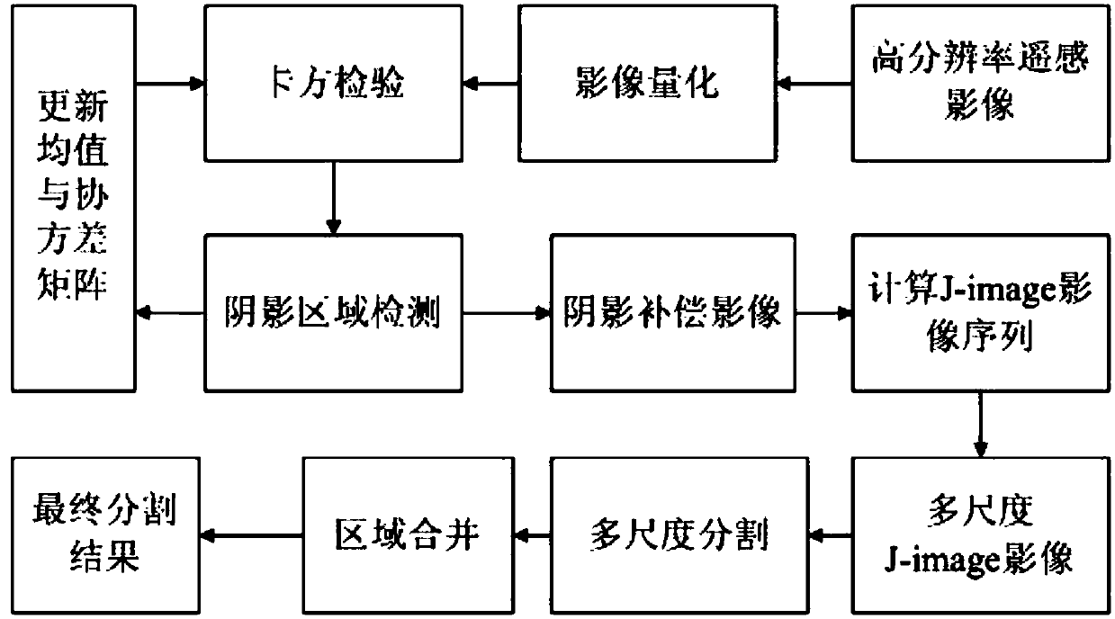
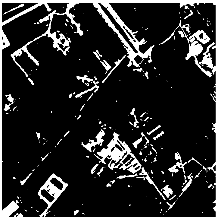
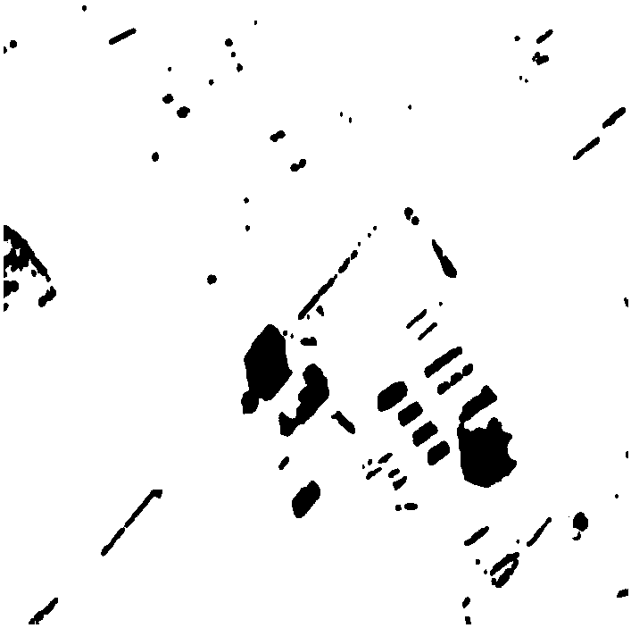
[0046] In view of the interference caused by shadows on remote sensing image segmentation and subsequent interpretation, the present invention first regards shadowed areas as detection targets, and divides images into shadowed areas and non-shaded areas. On this basis, by performing shadow compensation on the image, the subsequent image segmentation is prevented from being affected by the shadow.

[0047] Firstly, color quantization is performed on the multi-band remote sensing images to convert them into grayscale images. Although compared with the FCM algorithm, there may be some meaningless clusters in the clustering results of the HCM clustering method, but the number of cluster centers can be artificially set in advance. In this paper, in order to reduce the loss of spatial detail information in high-resolution remote sensing images a...


PUM


Abstract

The present invention discloses an urban high-resolution remote sensing image shadow detection and segmentation method. The method includes the following steps that: image quantification is performedon urban multi-band remote sensing images, shadow detection and compensation are performed on the quantized remote sensing images on the basis of chi-square transformation, so that shadow compensatedimages can be obtained; and a multi-scale J-image sequence is calculated for the obtained shadow compensated images, and multi-scale segmentation and region combination are performed, so that final remote sensing image segmentation results can be obtained. With the method of the invention adopted, weak edges and false edges caused by shadows can be can effectively dealt with. The segmentation accuracy of the method is significantly improved; and the method has high reliability.

Description

technical field [0001] The invention belongs to the technical field of image processing, and in particular relates to a shadow detection and segmentation method of urban high-resolution remote sensing images. Background technique [0002] Image segmentation is a key technology in object-oriented remote sensing image analysis and application, and is the basis and premise of subsequent object-based remote sensing image interpretation. In recent years, with the continuous advancement of sensor technology, meter-level or even sub-meter-level high-resolution images have been widely used. Traditional image segmentation methods for medium and low resolutions have become increasingly difficult to meet the needs of practical applications. Segmentation technology for high-resolution remote sensing images has become a hot spot in the field of remote sensing. [0003] At present, scholars have carried out extensive research on the segmentation of high-resolution remote sensing images a...

Claims


Application Information

Patent Timeline
IPC IPC(8): G06T7/11G06T7/136G06K9/00
Inventor 王超李亮郭晓丹张雪红刘茜石爱业
Owner NANJING UNIV OF INFORMATION SCI & TECH
Learn More