

Method for rapidly evaluating navigation performance of planetary approach segment
A technology approaching segments and planets, which is applied in the field of deep space exploration to achieve the effects of improving evaluation efficiency, reducing the amount of calculation, and reducing the amount of calculation
- Summary
- Abstract
- Description
- Claims
- Application Information
AI Technical Summary
Problems solved by technology
Method used
Image

Examples
Embodiment Construction
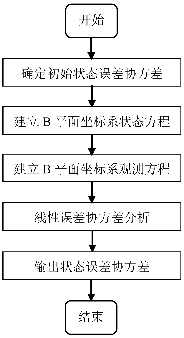
[0033] In order to better illustrate the purpose and advantages of the present invention, the content of the invention will be further described below in conjunction with the accompanying drawings and embodiments.
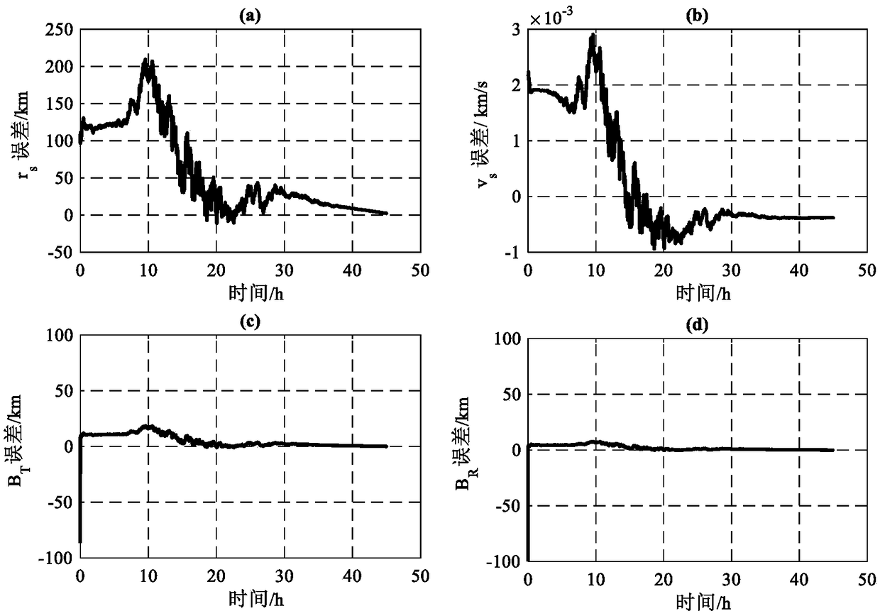
[0034] Such as figure 1 As shown, this example is aimed at the Mars approach section, combined with the state equation of the probe under the B plane and the optical measurement equation, the linear covariance analysis method is used to quickly evaluate the navigation performance. The specific implementation method of this example is as follows:
[0035] Step 1: Establish the state equation of the detector in the B-plane coordinate system.
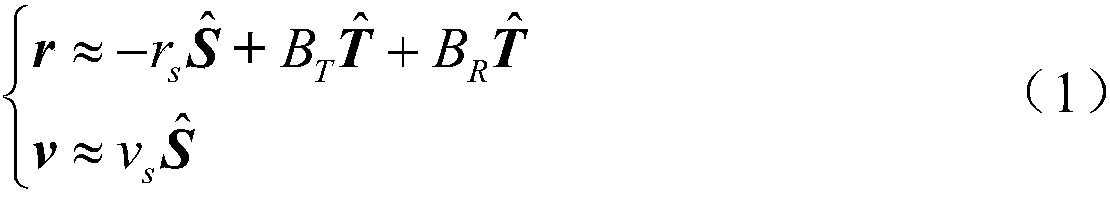
[0036] The B-plane coordinate system is a commonly used reference coordinate system in the process of planetary approach in deep space exploration. Its origin is located at the center of the target celestial body, and consists of three coordinate axes: S, T, and R. The orbit of the probe approaching the planet is a hyperboli...
PUM
 Abstract
Description
Claims
Application Information