

Auxiliary field lofting method based on Google Earth
A field and sample point technology, applied in the field of field staking, can solve the problems of insufficiency, difficulty in running the pole, and project expenses that are not worth the loss, and achieve the effect of reducing time, saving costs and improving efficiency.
- Summary
- Abstract
- Description
- Claims
- Application Information
AI Technical Summary
Problems solved by technology
Method used
Image

Examples
Embodiment Construction
[0028] Those skilled in the art will understand that the following examples are only for illustrating the present invention and should not be considered as limiting the scope of the present invention. If no specific technique or condition is indicated in the examples, it shall be carried out according to the technique or condition described in the literature in this field or according to the product specification.
[0029] The Google Earth-based auxiliary field stakeout method of the present embodiment, taking the Lidi Hydropower Station as an example, includes the following steps:
[0030] Step (1), pick up the Google Earth Mercator projection coordinate value
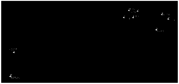
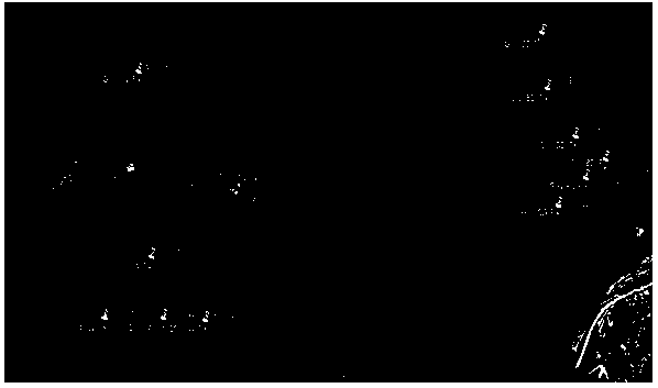
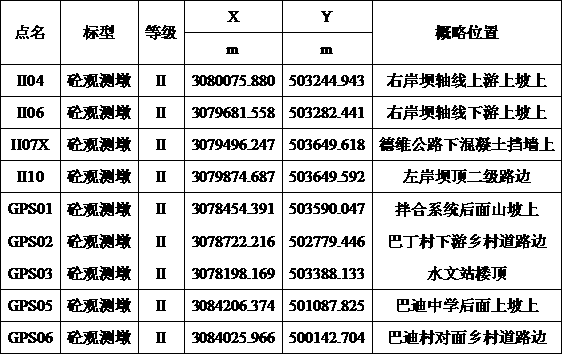
[0031] According to the survey center or the tripartite survey organization or the survey team of the project department, the coordinate result table of the advanced construction control points in the construction area is obtained, as shown in Table 1 below.
[0032] Table 1 Measurement results of the construction co...
PUM
 Abstract
Description
Claims
Application Information