
Method for obtaining horizon line in curved road monitoring environment

A technology for monitoring the environment and the horizon, applied in the field of intelligent transportation, can solve problems such as incorrect calculation of the horizon and large amount of calculation, and achieve the effect of improving accuracy, pertinence and versatility

Active Publication Date: 2020-01-10
CHANGAN UNIV
View PDF3 Cites 0 Cited by
  • Summary
  • Abstract
  • Description
  • Claims
  • Application Information

AI Technical Summary

Problems solved by technology

[0004] Aiming at the deficiencies in the prior art, the purpose of the present invention is to provide a method for obtaining the horizon in a curved road monitoring environment, which solves the problem of incorrect calculation of the horizon and the amount of calculation caused by inaccurate feature extraction in traffic scenes in the prior art. big technical problem

Method used


Image

  • Method for obtaining horizon line in curved road monitoring environment
  • Method for obtaining horizon line in curved road monitoring environment
  • Method for obtaining horizon line in curved road monitoring environment

Examples


Embodiment

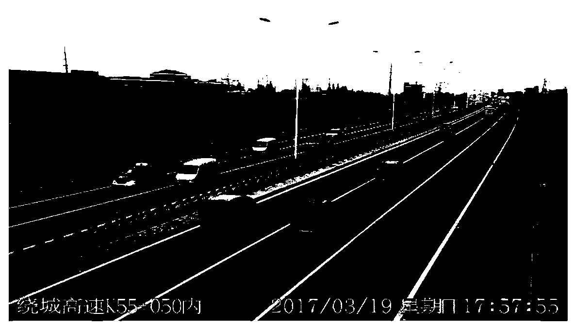
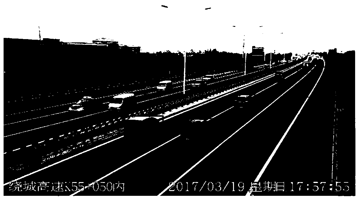
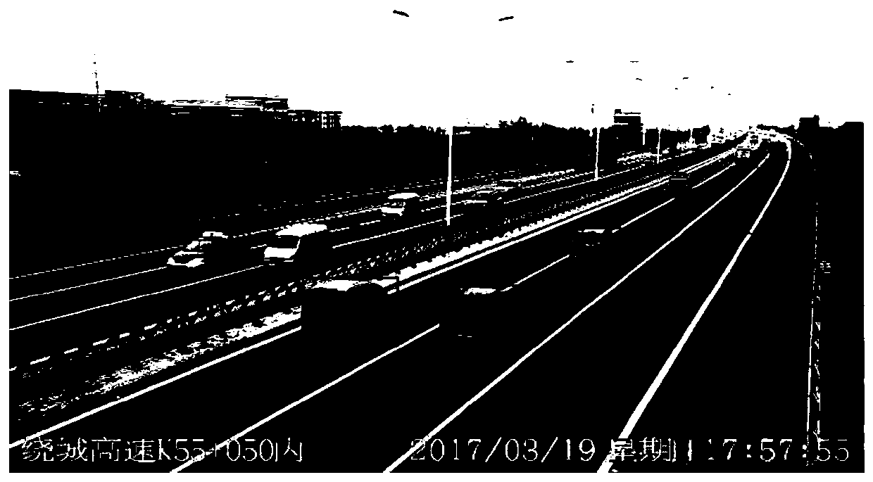
[0039] This embodiment provides a method for obtaining the horizon in a curved road monitoring environment, including the following steps:

[0040] Step 1, obtain a curved road image from the surveillance video, divide the background area and the motion area in the curved road image, and obtain multiple vehicle trajectories in the motion area;

[0041] The present invention utilizes the traffic monitoring video above the road to obtain roads and moving vehicles in this area. In this embodiment, the shooting background is a fixed scene with less background. Using an adaptive Gaussian mixture model (Adaptive GMM, Gaussian Mixture Model), Intruding objects, i.e. moving vehicles, can be detected by marking the parts of the scene image that do not fit this background model. After the background modeling is completed, the statistical difference is used to judge the target pixels to achieve the detection of the foreground target, and at the same time, the background model is continuo...


PUM


Abstract

The invention provides a method for obtaining a horizon line in curved road monitoring environment, and the method comprises: the step 1, dividing a background region and a movement region in a curvedroad image, and obtaining a plurality of vehicle tracks in the movement region; the step 2, screening from the plurality of vehicle tracks to obtain a vehicle linear track set and a vehicle body edgelinear set; the step 3, selecting a vehicle body edge straight line perpendicular to any vehicle straight line track in the vehicle straight line track set from the vehicle body edge straight line set to serve as a vehicle transverse edge straight line, and a vehicle transverse edge straight line set is obtained; the step 4, mapping the vehicle straight line track set and the vehicle transverse edge straight line set into a diamond space to obtain two broken line sets in the diamond space respectively, and obtaining an intersection point of the two broken line sets, namely a vanishing point in the diamond space; and the step 5, converting the vanishing points in the diamond space into an image space to obtain vanishing points (u0, v0) and (u1, v1) in the image space, and taking the extension of a connecting straight line of the vanishing points (u0, v0) and (u1, v1) as a horizon line.

Description

technical field [0001] The invention belongs to the field of intelligent transportation, and in particular relates to a method for obtaining a horizon in a curved road monitoring environment. Background technique [0002] The acquisition of the horizon is an important feature in many scenarios. At present, the methods of horizon detection can be roughly divided into three categories: edge feature-based, machine learning-based, and region-based feature-based. The method based on edge features is to obtain the equation of the horizon through Hough transform on the basis of the edge points of the image. For traffic video scenes, straight lines such as roads, houses, and farmland have obvious features, and image blur caused by low visibility , it is difficult to extract fine edges; the method based on machine learning requires pre-learning and training, and the generalization ability and online application of the training results are usually difficult to guarantee, thus limitin...

Claims


Application Information

Patent Timeline
IPC IPC(8): G06T7/00G06T7/13G06T7/194G06T7/269G06T7/60
CPCG06T7/0002G06T7/13G06T7/194G06T7/269G06T7/60G06T2207/30232
Inventor 王伟赵思雨崔华韩立新王兰玲刘兴旺武俊楠
Owner CHANGAN UNIV
Learn More