

Method for measuring vegetation coverage of sandy land vegetation in alpine fragile area based on TLS
A measurement method and technology of vulnerable areas, applied in the field of vegetation coverage measurement at the quadrat scale of sandy vegetation in alpine and fragile areas, to achieve the effect of reducing sample plot investigation and improving the accuracy of parameter extraction
- Summary
- Abstract
- Description
- Claims
- Application Information
AI Technical Summary
Problems solved by technology
Method used
Image

Examples
Embodiment Construction
[0033] Below in conjunction with specific examples, further illustrate the present invention, the examples are implemented under the premise of the technical solutions of the present invention, it should be understood that these examples are only used to illustrate the present invention and are not intended to limit the scope of the present invention.
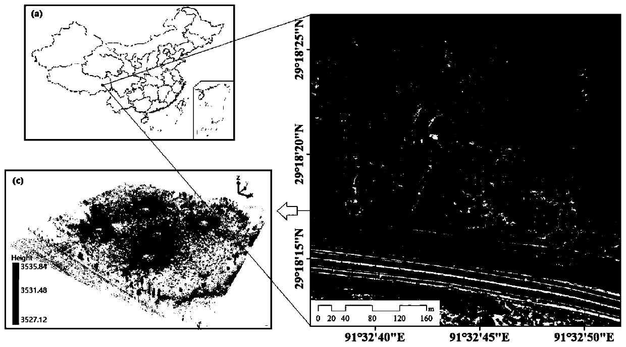
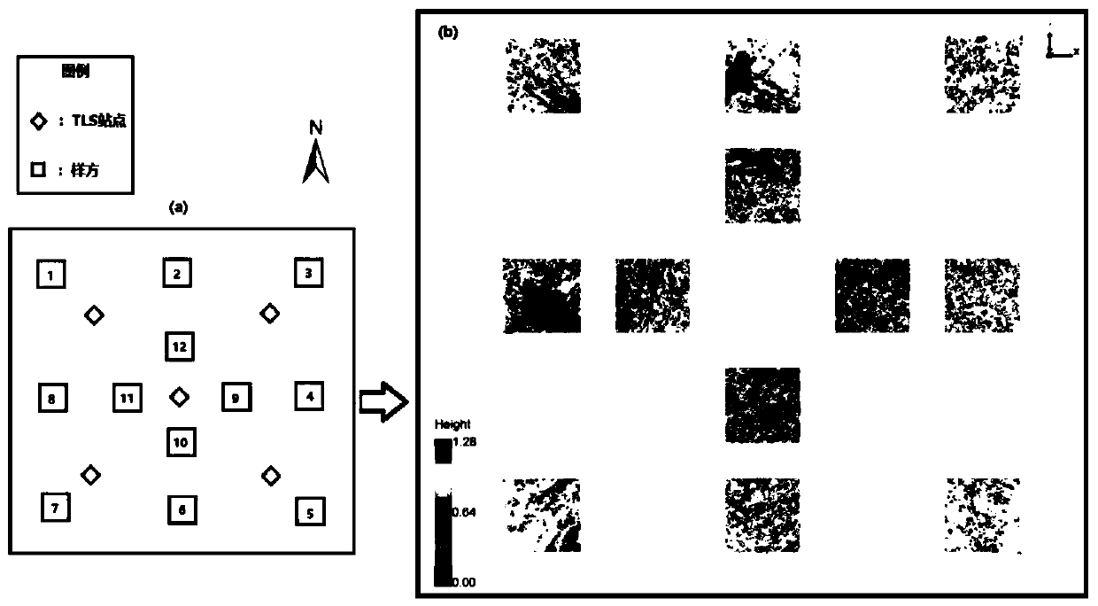
[0034] The implementation site of the embodiment is located on the north side of the highway from Zedang to Sanye Township (91.324°E, 29.181°N) in the Shannan region of the middle reaches of the Yarlung Zangbo River, with an altitude of about 3590m, belonging to the semi-arid monsoon climate zone of the plateau temperate zone. The climate is characterized by a warm and semi-arid climate, with an annual precipitation of 300-450mm and an average annual temperature of 6.3-8.7°C. Winter and spring are cold and windy, while summer is warm and humid with rain and heat in the same season. Since 2008, the forestry department has protect...
PUM
 Abstract
Description
Claims
Application Information