Raster data front-end visual comprehensive analysis method

A raster data, comprehensive analysis technology, applied in still image data browsing/visualization, structured data retrieval, electronic digital data processing, etc. Problems such as inconvenience in comprehensive analysis of raster data

Pending Publication Date: 2020-10-30
BEIJING INST OF SPACECRAFT SYST ENG
View PDF7 Cites 1 Cited by
  • Summary
  • Abstract
  • Description
  • Claims
  • Application Information

AI Technical Summary

Problems solved by technology

[0003] The general processing method is mainly through desktop software such as ERDAS, PCI, ENVI, etc., all of which are full-scale processing. This processing method has three disadvantages: one is that the processing time is longer, and the processing results cannot be viewed in real time; the other is that the vector data and raster It is inconvenient to carry out comprehensive analysis of lattice data in these desktop software; third, it is not possible to use new computing methods such as cloud computing to speed up the processing speed by using desktop software
[0004] In addition, many business scenarios require convenient comprehensive analysis of vector and raster data, and real-time rendering of raster data is the premise of fast block-level processing. The main way to view raster data on the browser side is to publish maps Service, this method has relatively large limitations. Once the raster data is released, the rendering method cannot be changed. Using this method, the effect of data processing cannot be viewed in real time.

Method used


Image

  • Raster data front-end visual comprehensive analysis method
  • Raster data front-end visual comprehensive analysis method
  • Raster data front-end visual comprehensive analysis method

Examples


Embodiment Construction

[0014] Examples are given below to describe the present invention in detail.
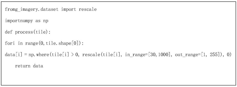
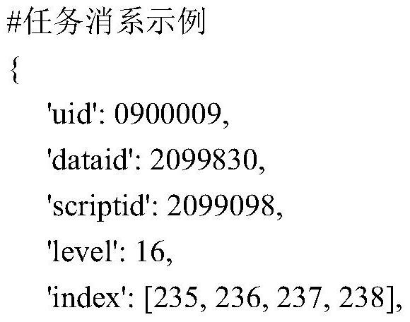
[0015] The basic idea of ​​the raster data front-end visualization comprehensive analysis method provided by the present invention is: convert the raster data to be processed into a multi-level overview map according to the pyramid principle, calculate the overview map to obtain metadata information, and the metadata information includes all levels The index information of the byte and the number of rows and columns of the overview map; according to the required display range and data level, find the index of the slice data to be displayed in the metadata information, and then select the slice data to be displayed from the overview map according to the index; Use the pre-defined data processing script to process the sliced ​​data to be displayed to obtain the data to be displayed, and display the data to be displayed.

[0016] The raster data front-end visualization comprehensive analysis method pro...


PUM


Abstract

The invention discloses a raster data front-end visual comprehensive analysis method. The method comprises the steps of calculating metadata information of a multi-level overview graph of raster data;performing virtual slicing on the raster data; when a browser end requests to display the data, selecting only the corresponding sliced data to be processed and displayed according to the display level and the display range carried in the request, so the raster data processing time is effectively shortened, and the raster data processing and displaying real-time performance is improved.

Description

technical field [0001] The invention belongs to the technical field of geographic big data analysis and display, and in particular relates to a front-end visualization comprehensive analysis method of raster data. Background technique [0002] The existing remote sensing data has the characteristics of large data volume and time-consuming processing. In actual needs, it is generally not necessary to process the entire image, and in most cases it is necessary to quickly view the processing results in real time, so that the model processing parameters can be adjusted conveniently. [0003] The general processing method is mainly through desktop software such as ERDAS, PCI, ENVI, etc., all of which are full-scale processing. This processing method has three disadvantages: one is that the processing time is longer, and the processing results cannot be viewed in real time; the other is that the vector data and raster It is inconvenient to conduct comprehensive analysis of grid d...

Claims


Application Information

Patent Timeline
IPC IPC(8): G06F16/29G06F16/54G06F9/50
CPCG06F16/29G06F16/54G06F9/5088
Inventor 孙波靳卫华张雷李志栋胡大勇董勇朱宇
Owner BEIJING INST OF SPACECRAFT SYST ENG
Why Eureka
Try Eureka