An automatic detection method for illegal construction land development based on multi-source optical remote sensing images
A technology of optical remote sensing images and construction land, applied in the field of remote sensing image processing, can solve the problems of high cost and low efficiency, and achieve the effects of reducing monitoring costs, high execution efficiency, and easy understanding
- Summary
- Abstract
- Description
- Claims
- Application Information
AI Technical Summary
Problems solved by technology
Method used
Image
Examples
Embodiment 1
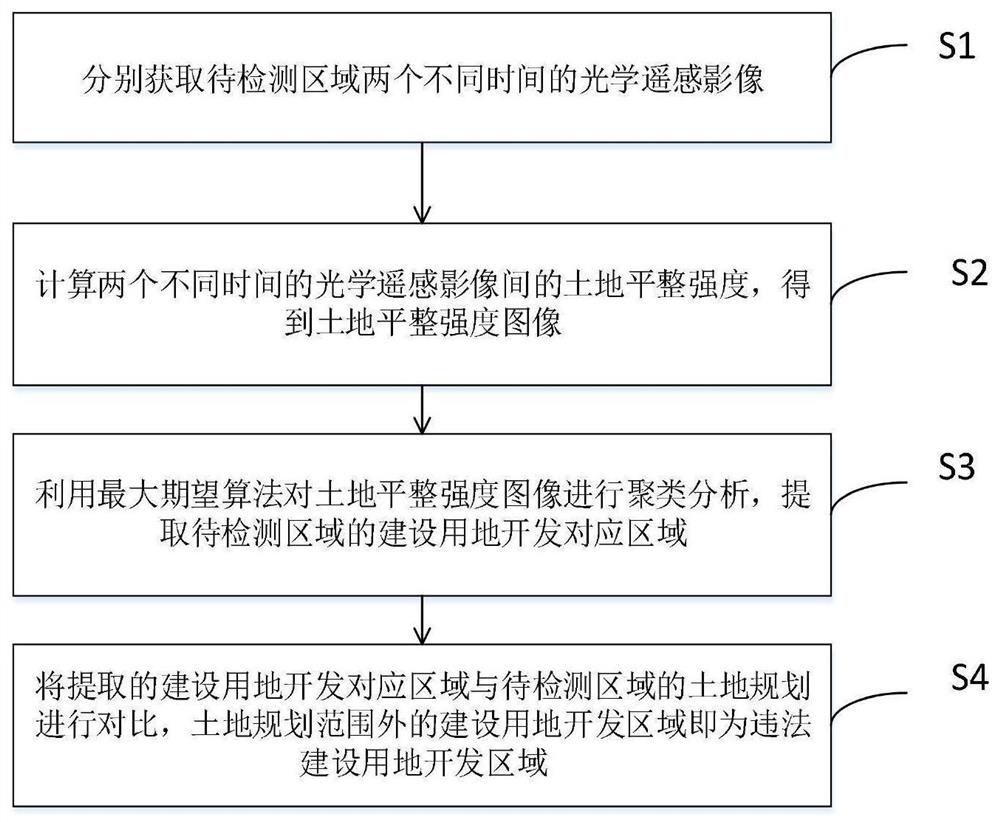
[0032] Such as figure 2 As shown, in order to realize timely and automatic monitoring of illegal construction development, the present invention proposes an automatic detection method for illegal construction land development based on multi-source optical remote sensing images, including the following steps:
[0033] S1: Obtain optical remote sensing images of the area to be detected at two different times;
[0034] It should be noted that two optical remote sensing images corresponding to different times can be acquired by the same satellite or by different satellites.
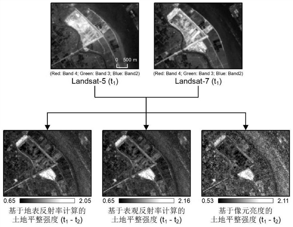
[0035] S2: Calculate the land leveling intensity between two optical remote sensing images at different times to obtain a land leveling intensity image;
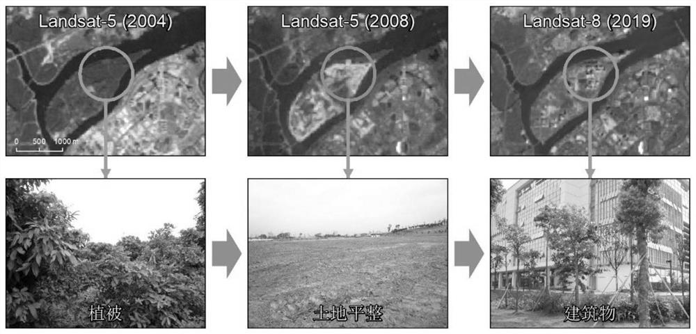
[0036]It should be noted that the development of construction land generally begins with the leveling of the land. The main purpose of leveling is to remove existing vegetation, buildings and other obstacles on the land to be developed, so as to facilitat...
PUM
 Abstract
Description
Claims
Application Information
 - R&D
- Intellectual Property
- Life Sciences
- Materials
- Tech Scout
- Unparalleled Data Quality
- Higher Quality Content
- 60% Fewer Hallucinations
Browse by: Latest US Patents, China's latest patents, Technical Efficacy Thesaurus, Application Domain, Technology Topic, Popular Technical Reports.
© 2025 PatSnap. All rights reserved.Legal|Privacy policy|Modern Slavery Act Transparency Statement|Sitemap|About US| Contact US: help@patsnap.com


