
Near-surface nitrogen dioxide concentration estimation method based on Stacking integrated model
An integrated model and near-ground technology, applied in genetic models, calculation models, calculations, etc., to achieve the effect of improving overall performance and optimizing input
- Summary
- Abstract
- Description
- Claims
- Application Information
AI Technical Summary
Problems solved by technology
Method used
Image

Examples
Embodiment 1
[0031] S1, get the actual NO of the monitoring site 2 Concentration data, meteorological monitoring data, geographic data and population data.
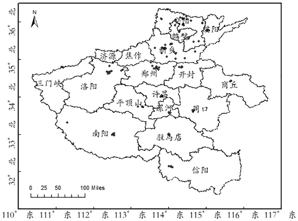
[0032] The actual NO of the monitoring station of the present invention 2 The concentration data comes from the National Environmental Monitoring Center, using the NO of 107 stations in Henan Province in 2019 from the National Environmental Monitoring Center. 2 Mass concentration data, station distribution as figure 1 shown. NO measured at environmental monitoring points 2 Mass concentration in μg / m 3 Indicates that the monitoring period is 1 hour. The transit time of the satellite is about 13:00 local time, and the average value of the observation data of the ground station at the environmental monitoring point from 13:00 to 14:00 is selected as the daily average value.
[0033]The meteorological detection data of the present invention come from the fifth generation reanalysis data (ECMWF Reanalysis v5, ERA5) of the European Ce...
PUM
 Abstract
Description
Claims
Application Information