2D laser radar SLAM map dynamic loading method and system

A dynamic loading, lidar technology, used in radio wave measurement systems, electromagnetic wave re-radiation, utilization of re-radiation and other directions, can solve the problems of too large SLAM map and large system resource consumption, reduce computing overhead, improve real-time, cost reduction effect

Active Publication Date: 2021-07-23
紫清智行科技(北京)有限公司
View PDF6 Cites 1 Cited by
  • Summary
  • Abstract
  • Description
  • Claims
  • Application Information

AI Technical Summary

Problems solved by technology

[0003] The purpose of the present invention is to provide a method and system for dynamic loading of large-scale 2D laser radar SLAM maps, which divide and manage 2D laser radar SLAM maps, and realize small-scale dynamic loading, so as to solve the problems caused by excessively large SLAM maps in large-scale scenes. The problem of high system resource consumption

Method used


Image

  • 2D laser radar SLAM map dynamic loading method and system
  • 2D laser radar SLAM map dynamic loading method and system
  • 2D laser radar SLAM map dynamic loading method and system

Examples


Embodiment Construction

[0044] The present invention will be described in detail below in conjunction with the accompanying drawings and embodiments.

[0045] The embodiment of the present invention combines figure 1 The example provided describes the structure of the 2D lidar SLAM map, and maps organized in the same type as the example are included in the protection scope of the method of the present invention.

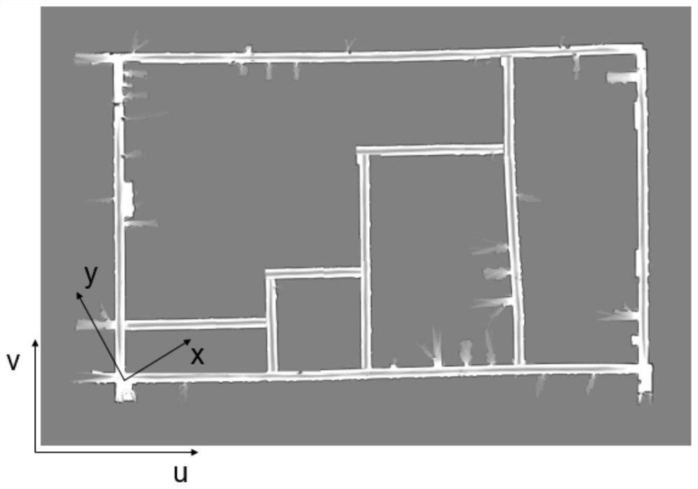
[0046] like figure 1 As shown, the 2D lidar SLAM map is usually stored by a w×h resolution image, where w represents the width of the 2D lidar SLAM map, and h represents the height of the 2D lidar SLAM map.

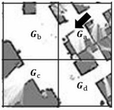
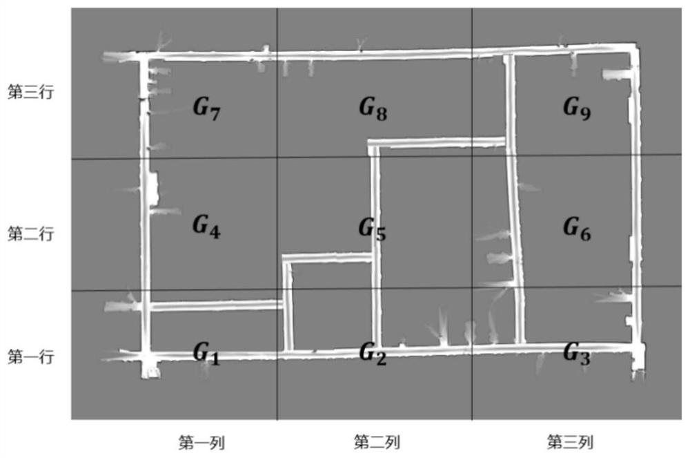
[0047] Hereinafter, "2D lidar SLAM map" will be referred to as "map image" for short. For the convenience of description, the following directions are described by "up, down, left, and right" of the map picture itself, which can also be understood as the direction parallel to the dividing line between the sub-maps in the plane of the map picture.

[0048] The map image contains prob...


PUM


Abstract

The invention discloses a 2D laser radar SLAM map dynamic loading method and system, and the method comprises the steps: 1, obtaining a conversion matrix M of any point in a global coordinate x-y and an image coordinate u-v according to coordinate system information, scale resolution and selected angular point pixel information contained in a map picture stored in a 2D laser radar SLAM map; 2, dividing the map picture into a plurality of sub-maps Gi according to n rows and m columns, wherein the image width and height of each sub-map Gi are wi and hi respectively and obtaining a global coordinate corresponding to a pixel coordinate of a point j in the sub-map Gi by using the conversion matrix M; and 3, dynamically loading the sub-maps according to the divided sub-maps. According to the method, only one part of the map is loaded each time, and the remaining map is dynamically loaded according to the driving position, so that the consumption of system resources can be reduced, and the application scene is wider.

Description

technical field [0001] The present invention relates to the field of automatic driving technology, in particular to a 2D laser radar SLAM (full name in English: simultaneous localization and mapping, full name in Chinese: real-time positioning and map construction) map dynamic loading method and system. Background technique [0002] At present, there are already many scenarios where the application of autonomous driving and mobile robots has been realized, such as: restaurant / hotel unmanned food delivery vehicles, unmanned patrol vehicles, etc. Usually, in an environment without GPS or with a poor GPS signal, especially indoors, positioning and navigation are mainly realized through SLAM technology. However, the SLAM technology that is currently mainly used has a problem of excessive overhead when obtaining maps for positioning. This problem is especially prominent in scenarios with large map areas. Excessive consumption of computing resources leads to unsmooth operation of ...

Claims


Application Information

Patent Timeline
Patent Type & Authority Applications(China)
IPC IPC(8): G01S17/931G01S17/89
CPCG01S17/89G01S17/931
Inventor 王雷王更泽王毅
Owner 紫清智行科技(北京)有限公司
Why Eureka
Try Eureka