Holographic map space construction system for smart city

A city and space technology, applied in the field of holographic map space construction system, can solve the problems of cleaning up the city and inability to infer multiple sets of data, so as to avoid traffic jams and improve work efficiency

Pending Publication Date: 2022-07-29
南京泛在地理信息产业研究院有限公司 +1
View PDF0 Cites 0 Cited by
  • Summary
  • Abstract
  • Description
  • Claims
  • Application Information

AI Technical Summary

Problems solved by technology

[0003] The above-mentioned existing technical solutions have the following defects: the holographic map can only integrate multiple sets of data, and cannot make inferences based on multiple sets of data, and cannot notify urban residents in advance of locations prone to waterlogging on urban roads according to different weather conditions , and cannot assist the municipal department to concentrate resources to clean up the highly polluted road sections in the city

Method used


Image

  • Holographic map space construction system for smart city
  • Holographic map space construction system for smart city

Examples


Embodiment Construction

[0023] The method of the present invention will be described in further detail below in conjunction with the accompanying drawings.

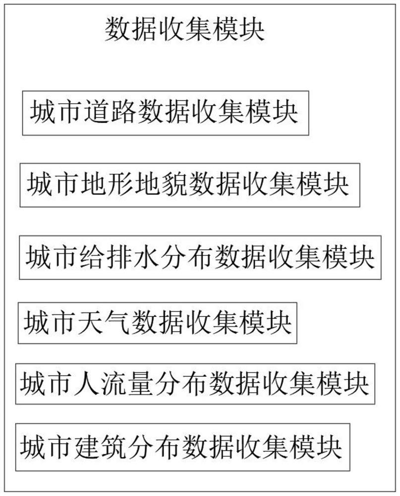
[0024] Refer to the attached figure 1 , a holographic map space construction system for smart city, including data collection module, space construction module, visual conversion module, data transmission and reception through network between data collection module and space construction module, visual conversion module The space building module and the visual transformation module are realized by 3D modeling software and hardware;

[0025] The data collection module is used to collect various basic data for map construction, and update the map work data in real time;

[0026] The spatial building module is used for receiving and summarizing various data, and performing spatial docking of each component data;

[0027] The visual transformation module is used to transform the aggregated data, build 3D graphics according to different basic data,...


PUM


Abstract

The invention discloses a holographic map space construction system for a smart city, relates to the technical field of holographic map space construction, and aims to solve the problem that a holographic map only can integrate multiple groups of data and cannot deduce according to the multiple groups of data, so that the construction efficiency is improved. The problems that urban residents cannot be notified of positions where waterlogging easily occurs in urban roads in advance according to different weather conditions, and municipal departments cannot be assisted in centralized resource cleaning and sweeping of road sections with high pollution degrees in cities are solved, and the technical scheme is characterized by comprising a data collection module, a space construction module and a visual conversion module, data transmission and reception are carried out between the data collection module and the space construction module through a network, and the visual conversion module is realized between the space construction module and the visual conversion module through three-dimensional modeling software and hardware. The effects of reminding the inland inundation road in advance and providing the road with serious pollution for the municipal department are achieved.

Description

technical field [0001] The invention relates to the technical field of holographic map space construction, in particular to a holographic map space construction system for smart cities. Background technique [0002] In contemporary smart city management, holographic map, as one of the basic elements, has played a positive auxiliary role for the management of smart city. [0003] The above-mentioned existing technical solutions have the following defects: the holographic map can only integrate multiple sets of data, and cannot infer based on multiple sets of data, and cannot notify urban residents in advance of the locations where waterlogging is likely to occur on urban roads according to different weather conditions. , and cannot assist municipal departments to concentrate resources to clean up the highly polluted road sections in the city. SUMMARY OF THE INVENTION [0004] The purpose of the present invention is to provide a holographic map space construction system tha...

Claims


Application Information

Patent Timeline
Patent Type & Authority Applications(China)
IPC IPC(8): G06F16/29G06T17/05G06Q50/26G06Q50/08
CPCG06F16/29G06T17/05G06Q50/26G06Q50/08
Inventor 魏友保张巍梁波仇帅
Owner 南京泛在地理信息产业研究院有限公司
Why Eureka
Try Eureka