

Method for displaying multi-level text data in three-dimensional map
- Summary
- Abstract
- Description
- Claims
- Application Information
AI Technical Summary
Benefits of technology
Problems solved by technology
Method used
Image

Examples
Embodiment Construction
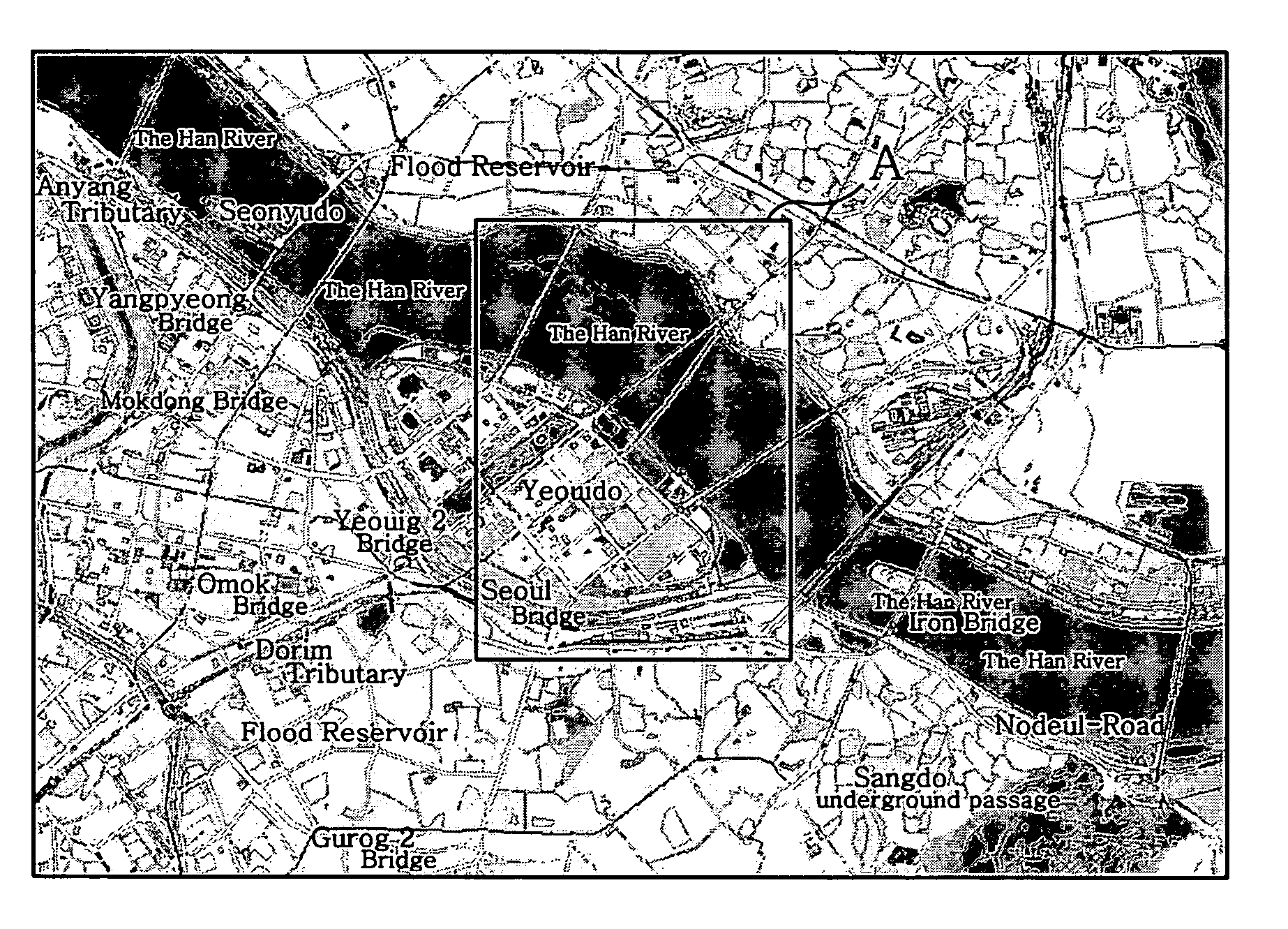
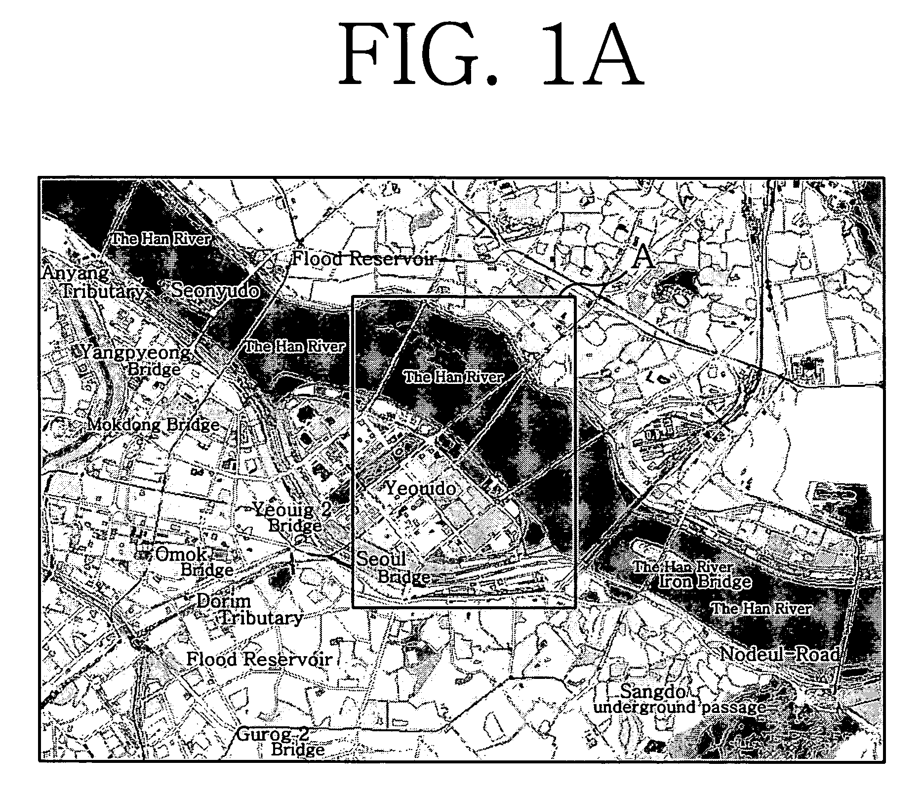
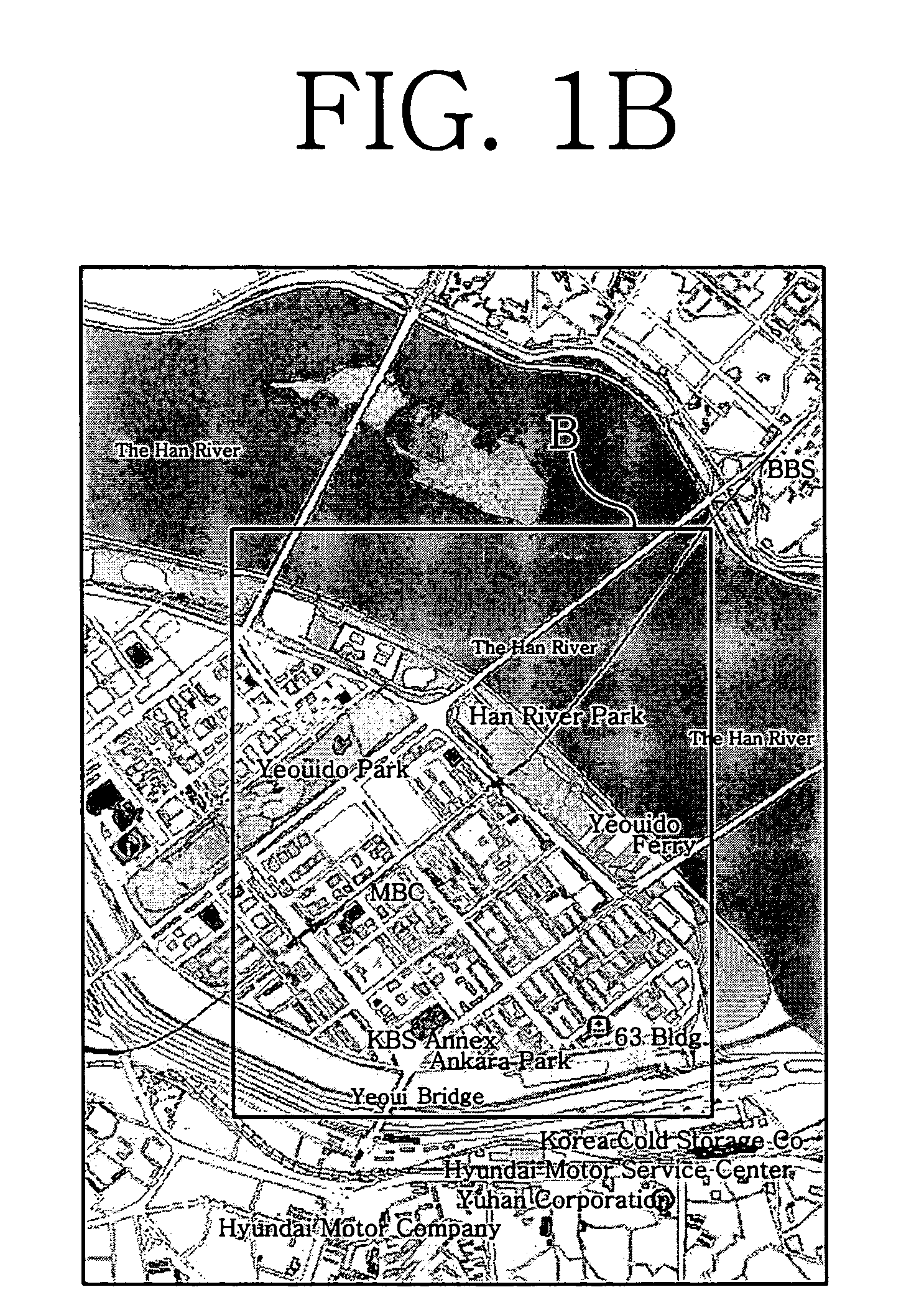
[0043] Hereinafter, a method for displaying multi-level text data in a three-dimensional map according to the present invention will be described in detail with reference to the accompanying drawings, especially FIGS. 4 to 7.
[0044]FIG. 4 is a block diagram showing a configuration of a navigation system to which a method for displaying multi-level text data in a three-dimensional map according to the present invention is applied. As shown in the figure, the navigation system comprises a GPS (global positioning system) receiver 202 for receiving navigation messages transmitted by a plurality of GPS satellites 200; a map storage unit 204 for beforehand storing map data with two-dimensional coordinates therein; a command input unit 206 for receiving operation commands according to user's manipulation; a control unit 208 capable of controlling operations for determining a current vehicle location from the navigation messages received by the GPS receiver 202, for reading out map data wit...
PUM
 Abstract
Description
Claims
Application Information