Agtm airborne surveillance
a technology of airborne surveillance and air traffic control, applied in the field of advanced ground transportation management, can solve the problems of large gis database, inability to provide information to commercial and consumer markets, delay in responding to calls,
- Summary
- Abstract
- Description
- Claims
- Application Information
AI Technical Summary
Benefits of technology
Problems solved by technology
Method used
Image
Examples
Embodiment Construction
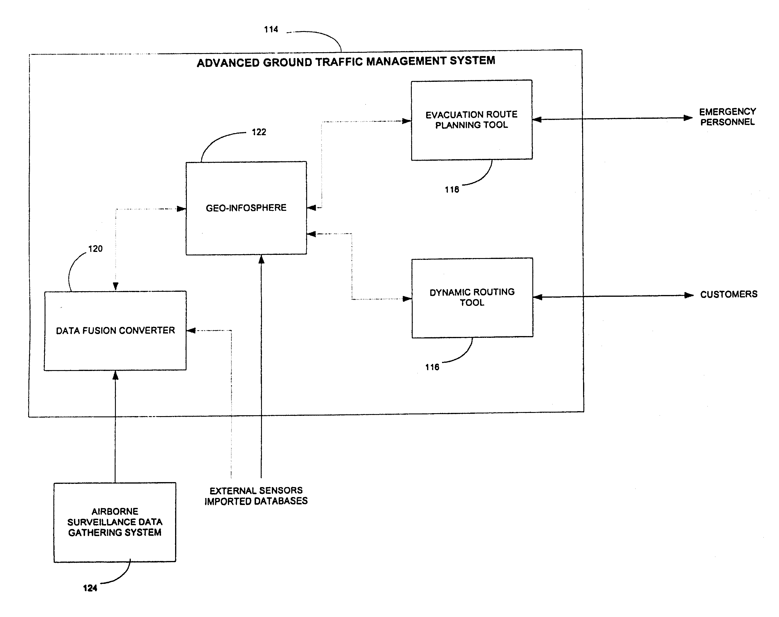
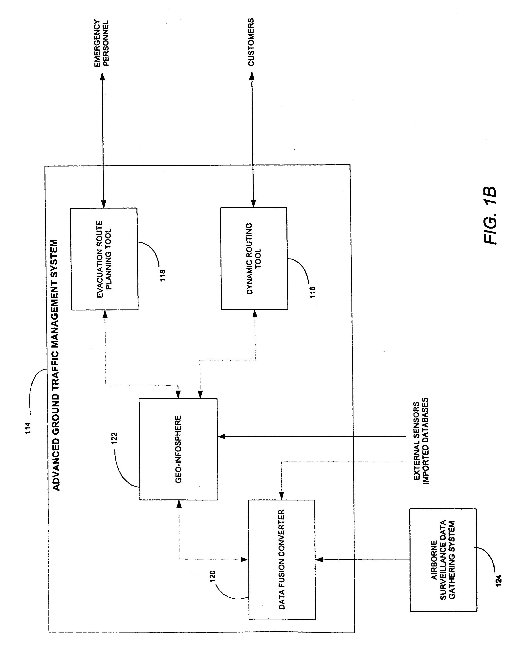
[0030]In the following description, reference is made to the accompanying drawings which form a part hereof, and which is shown, by way of illustration, several embodiments of the present invention. It is to be understood that other embodiments may be utilized and structural changes may be made without departing from the scope of the present invention.
Overview
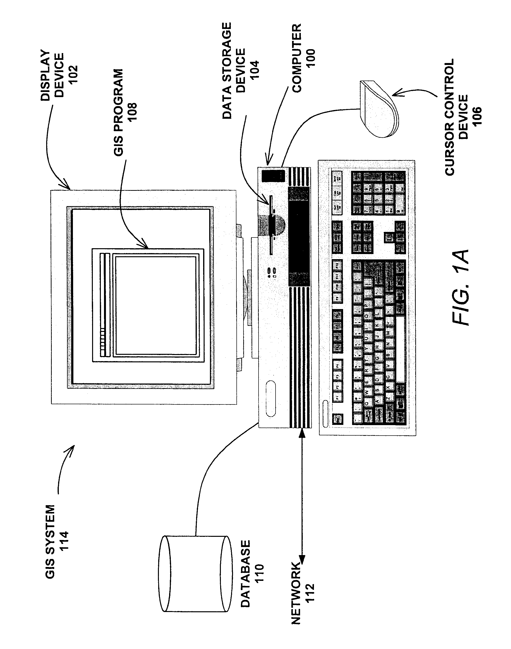
[0031]Most state and local agencies use GIS to manage, plan, and record geographical information in their respective jurisdictions. However, these agencies use GIS solely as a mapping tool, rather than using the data in a dynamic manner for routing of vehicles.
[0032]Emergency vehicles, commuters, and business fleet management services all can use GIS databases in a dynamic fashion to optimize routes for certain vehicles or for certain situations. For example, and not by way of limitation, if an emergency situation arises, such as the breakout of a large-scale fire, the GIS database can be used to determine the best evacuation r...
PUM
 Abstract
Description
Claims
Application Information
 - R&D
- Intellectual Property
- Life Sciences
- Materials
- Tech Scout
- Unparalleled Data Quality
- Higher Quality Content
- 60% Fewer Hallucinations
Browse by: Latest US Patents, China's latest patents, Technical Efficacy Thesaurus, Application Domain, Technology Topic, Popular Technical Reports.
© 2025 PatSnap. All rights reserved.Legal|Privacy policy|Modern Slavery Act Transparency Statement|Sitemap|About US| Contact US: help@patsnap.com


