Method for estimating the geographical latitude, longitude and elevation of a mobile electronic telecommunication device (TD)
- Summary
- Abstract
- Description
- Claims
- Application Information
AI Technical Summary
Benefits of technology
Problems solved by technology
Method used
Image
Examples
Embodiment Construction
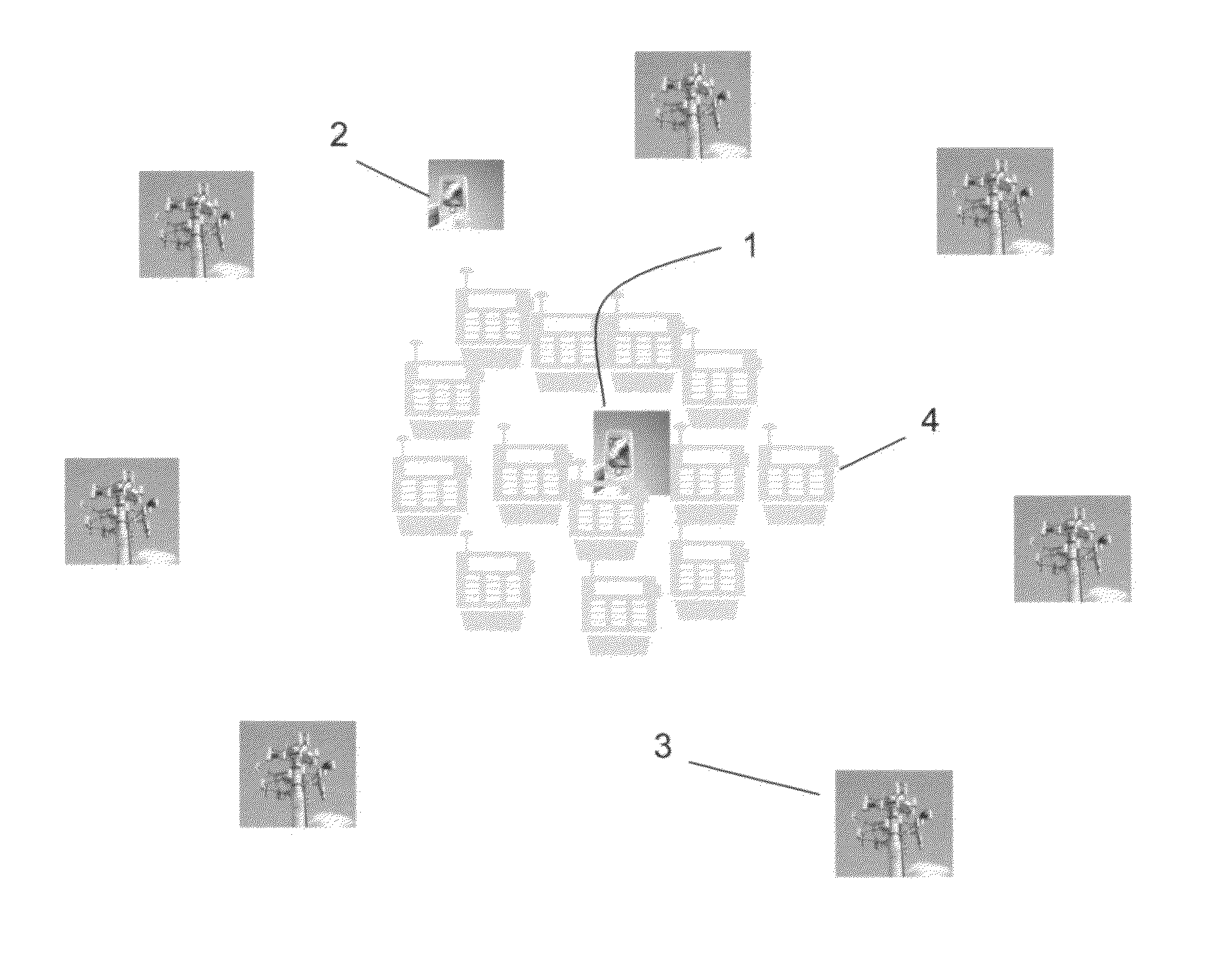
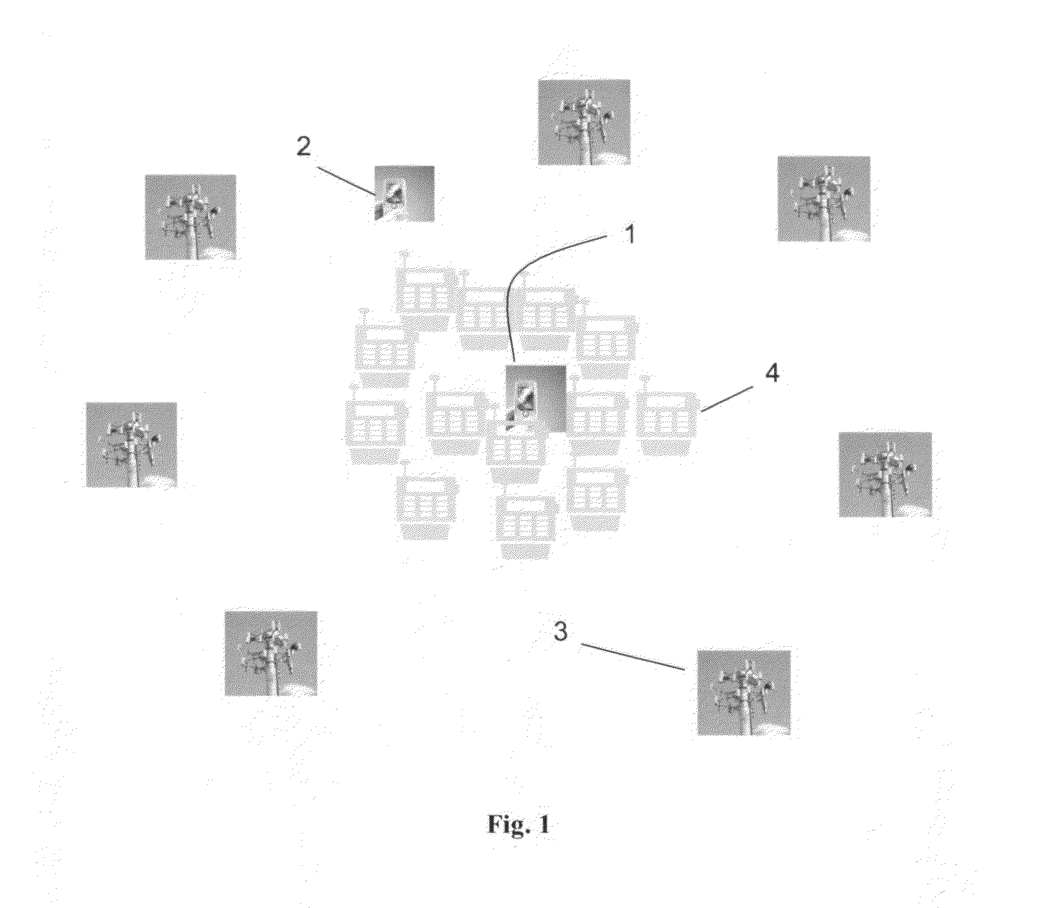
[0009]This locating method, illustrated in FIG. 1, uses the following information collected and processed by a telecommunication device (TD) 1 or a remote data processing station 2 over a given time period (of length T), to estimate the (x, y, z) coordinate of the TD.[0010]a) The stationary (x, y, and z) coordinates of the responder 3;[0011]b) The time of the Ping-Packet Internet Groper—and that of the response;[0012]c) The distance between the TD and the responder based on the round-trip-time of each response (the time between each Ping emitted by the TD, and the time of the response to the Ping);[0013]d) The strength of the response signal, S1;[0014]e) The ambient conditions of the telecommunication device, S2;
[0015]1 f) Electronic performance indicators such as CPU performance and device power level, S3.[0016]g) Other information that may affect the quality of the signal, SN.
[0017]The method randomly draws multiple sets of three responses, and from each set it generates a possibl...
PUM
 Abstract
Description
Claims
Application Information
 - R&D
- Intellectual Property
- Life Sciences
- Materials
- Tech Scout
- Unparalleled Data Quality
- Higher Quality Content
- 60% Fewer Hallucinations
Browse by: Latest US Patents, China's latest patents, Technical Efficacy Thesaurus, Application Domain, Technology Topic, Popular Technical Reports.
© 2025 PatSnap. All rights reserved.Legal|Privacy policy|Modern Slavery Act Transparency Statement|Sitemap|About US| Contact US: help@patsnap.com


