Remote geobrowser control for collaborative decision making

a geobrowser and collaborative technology, applied in the field of network-based collaboration tools, can solve the problems of untapped geobrowser potential, unmet foregoing potential, and no longer available geospatial data used by the lead collaborator for the other participants, so as to facilitate a collaborative decision environment, facilitate disaster management, and enhance collaborative decision making

Active Publication Date: 2014-02-13
DE AMELLER RAFAEL JULIO +2
View PDF12 Cites 35 Cited by
  • Summary
  • Abstract
  • Description
  • Claims
  • Application Information

AI Technical Summary

Benefits of technology

[0015]It is another object to provide a geobrowser collaboration system in which leader control, editing, and manipulation of the common operating picture does not jeopardize integrity of the geobrowser session content.
[0017]The solution described herein enhances collaborative decision making and facilitates more efficient disaster management, from pre to post disaster, including rapidly deployable distributed networks to support larger geographic areas of first responders. In one embodiment designed for emergency response coordination, the present system provides a platform by which multiple geobrowsers can communicate over local networks and the Internet to create a real collaborative experience over computer desktop geobrowsers when dealing with geospatial information distributed using Open Geospatial Consortium (OGC) compliant KML / KMZ formats and WMS (Web Mapping Service), as well as other geospatial data formats (GeoTiffs, Shapefiles, GeoJPEGs, etc.). It facilitates a collaborative decision environment that delivers accurate information on emerging situations while collaborating with distributed partners, advisors, specialists and authorities in any location. All the functions like dataset loading, layer stacking, Point of View (POV) changes (for a 3D map) or its 2D corollary map extent changes, animation settings and annotations are replicated across all the connected geobrowsers, effectively creating a true collaborative geospatial Common Operating Picture (COP). Lead collaborator functions can be passed on to any of the other participants in the collaboration at any time, allowing them to build upon the collaborative COP, which is already on their desktop. Since the collaboration is built upon the virtual globe or other geolocated mapping system on each user's desktop, and there are no screen switches or changes to the base map as new datasets or annotations are added, the user never loses his situational awareness. The present system is capable of collaboration between multiple different virtual globes or geolocated maps at one time.

Problems solved by technology

Geobrowsers have untapped potential in situations where multiple users collaborate, working together in a coordinated fashion, towards a common goal.
Unfortunately, geobrowsers cannot collaborate, there are no third party collaboration tools suitable for geobrowser collaboration, and so the foregoing potential is entirely unmet.
However, this ad hoc approach only provides multiple remote users with the ability to view a common screen and exchange communications.
This is similar to watching television, suppresses participation, and fails to engage the collaborators.
Additionally, when the screen-sharing presentation is completed any geospatial data used by the lead collaborator is no longer available for the other participants, and they cannot review it or merge it with other datasets on their local systems.
There is no geobrowser collaboration system that allows collaboration among users of different geobrowsers, let alone controlled sharing in which remote users selectively control, edit, and manipulate shared content in real time such as geospatial datasets.

Method used


Image

  • Remote geobrowser control for collaborative decision making
  • Remote geobrowser control for collaborative decision making
  • Remote geobrowser control for collaborative decision making

Examples


example 1

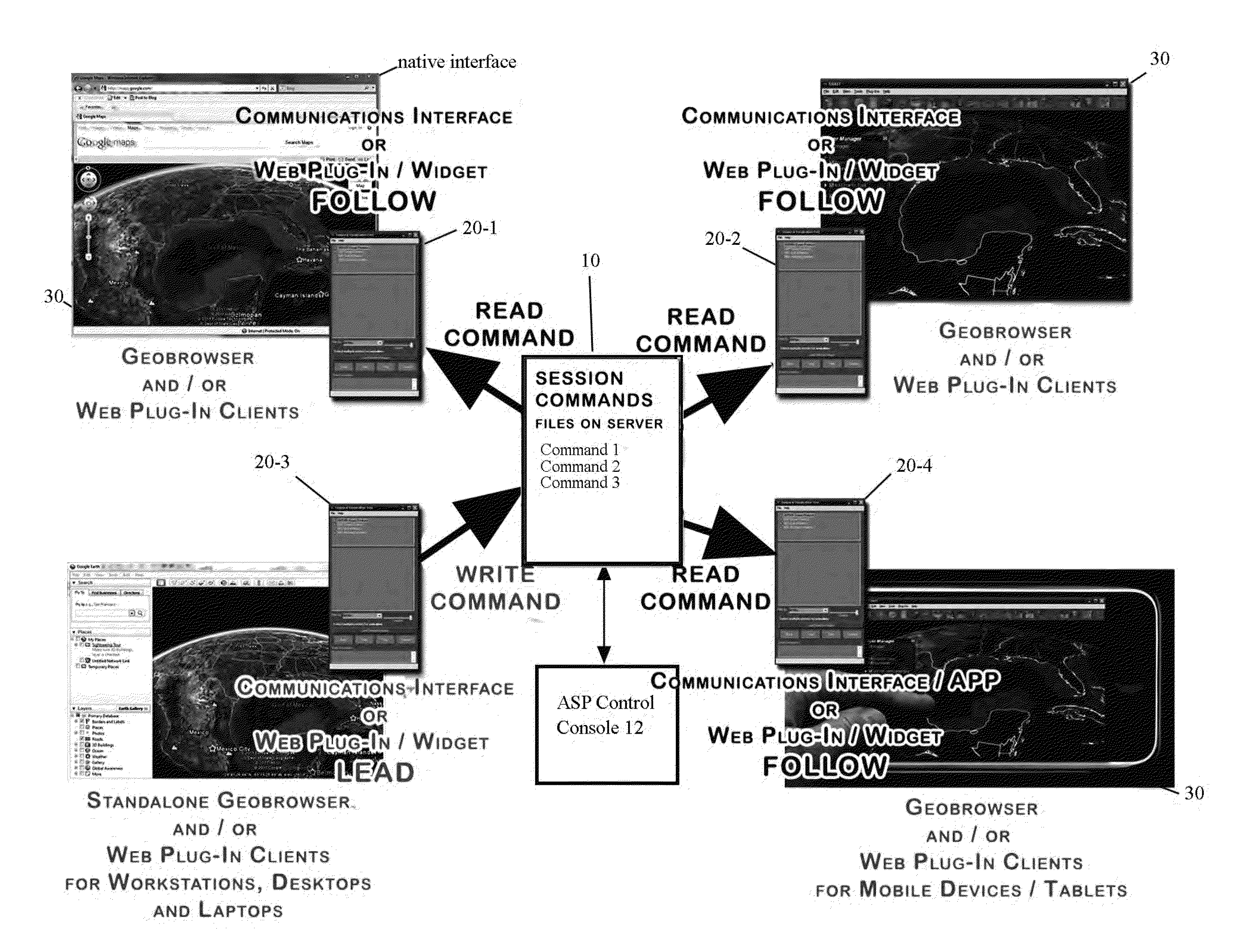
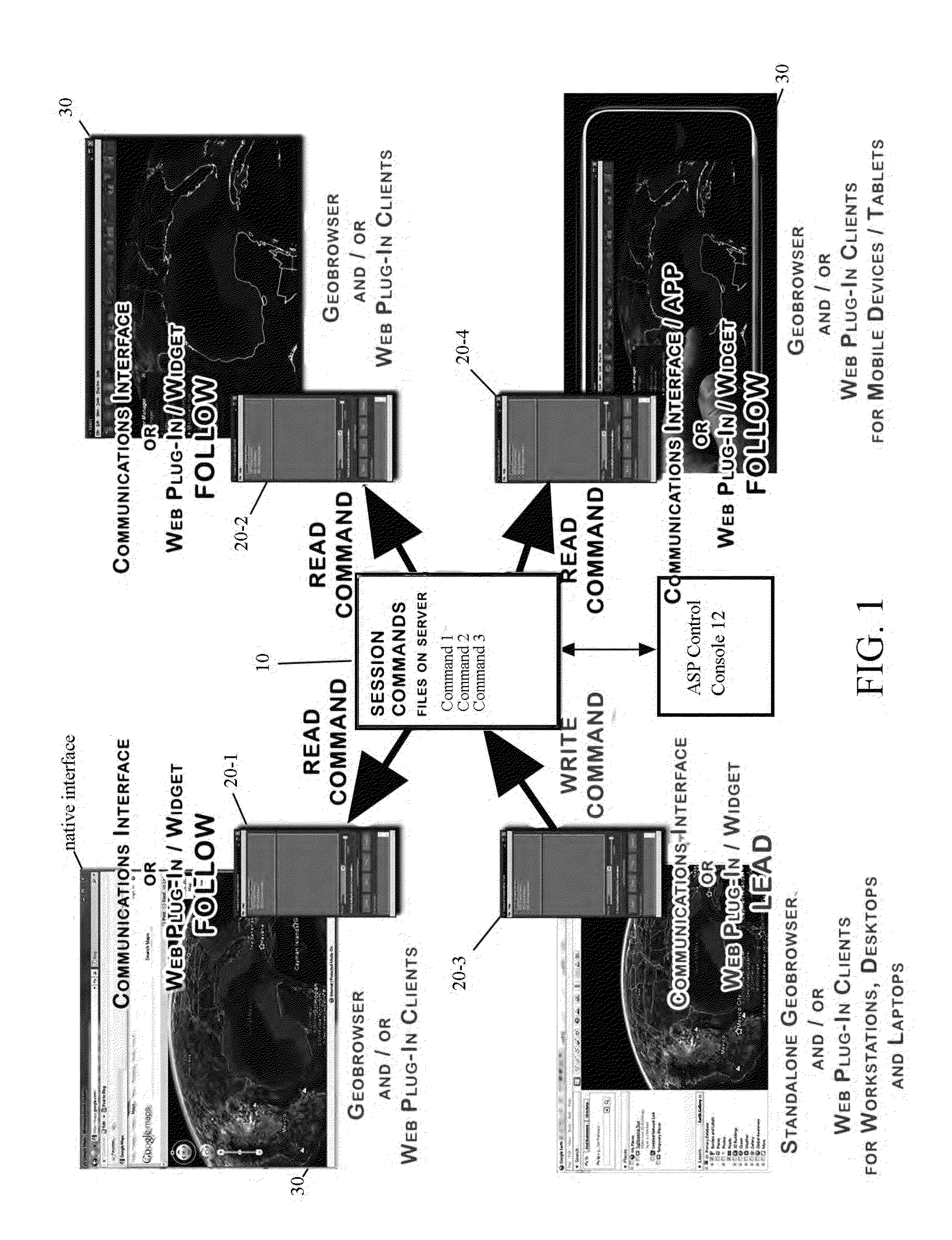
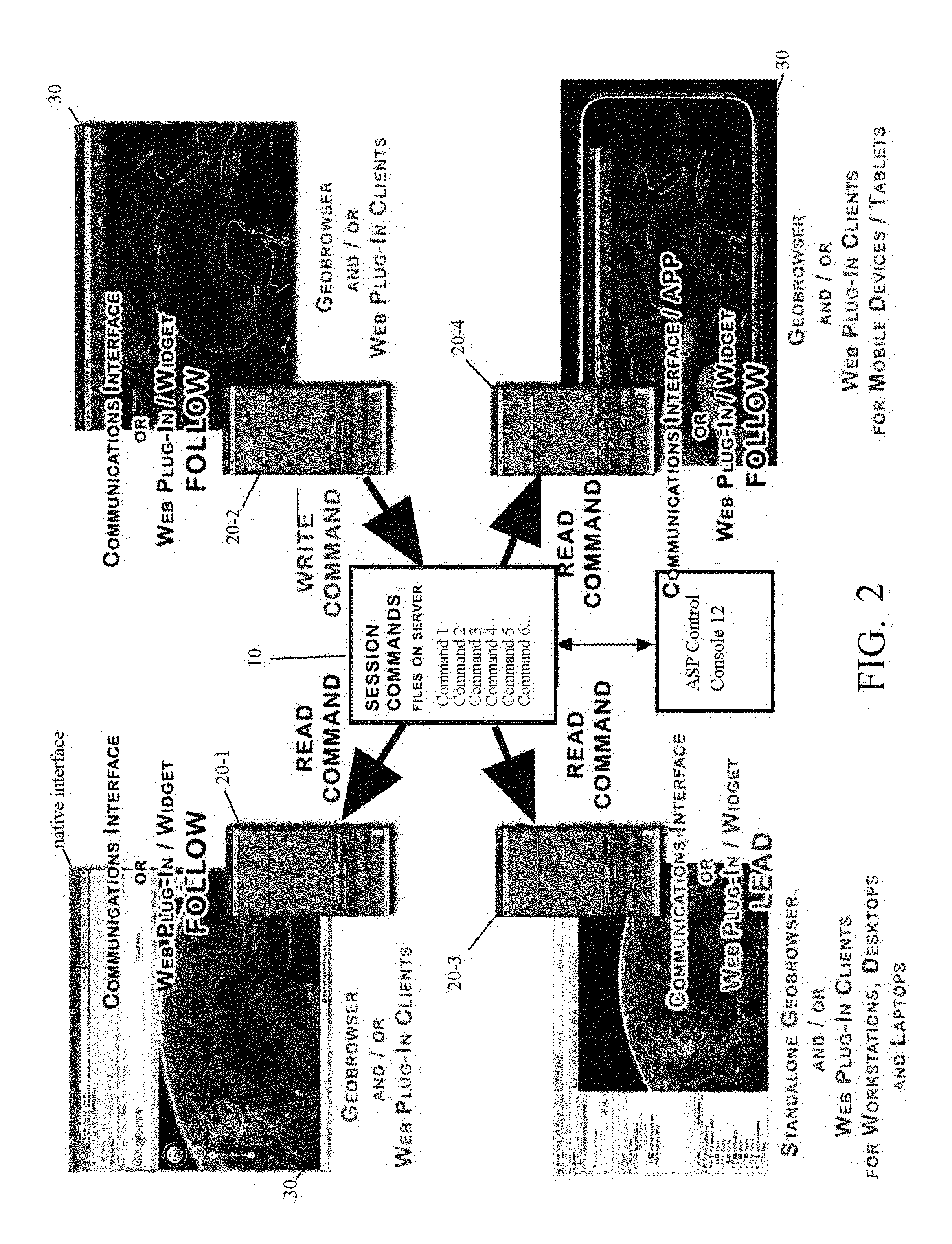
[0120]As an example, a World Wind Plugin was developed for the WW.Net version 1.4 in the C# language using Visual Studio 2008. The CMM plugin 30 can be loaded via the World Wind geobrowser Tools menu by clicking the appropriate plugin entry, labeled for example “Envirocast” as shown in FIG. 11.

[0121]This opens the session manager graphical user interface (GUI) shown in FIG. 12 for controlling and managing the collaborative session(s). As above, the session manager GUI 33 provides controls for joining, following, and leading a collaboration session. To join an existing session on network location “evcm2”, user enters the session title (e.g. “test01”) and clicks the “Join” command button.

[0122]The interface will advance to the first sequence command 000000 of the master Session command files (for example, 0,0, POV) and World Wind initializes to the default position which is shown in the POV textBox listings as described below. The User then clicks the “Advance” command button to step ...

example 2

[0130]For World Wind JAVA (WWjava) a similar plugin has been developed, compiled and run using both the NetBeans Integrated Development Environment (IDE) and Eclipse IDE. The java CMM 30 plugin runs from Eclipse to create a similar control interface GUI.

[0131]Several successful collaborations have been performed both over local networks and over the interne on multiple Microsoft Windows® platforms (XP, Vista and Windows 7). Multiple collaborative POV changes and dataset sharing were performed between three different geobrowsers:[0132]World Wind 1.4 (WW.NET) with the Example 2.NET plugin CMM 30.-World Wind Java (WWJava) with the Example 3 CMM 30 plugin[0133]Google Earth with the Example 1 API CMM 30.

[0134]All collaboration sessions were conducted by a lead collaborator with any number of collaboration participants, all using the foregoing geobrowsers of choice. Regardless of geobrowser, the cross-platform architecture of the present system allows each participant to connect to a coll...


PUM


Abstract

A system for collaborative decision-making and more efficient disaster management, in which multiple geobrowsers can communicate over local networks and / or the Internet to create a real collaborative experience when dealing with geospatial information, distributed using Open Geospatial Consortium (OGC) compliant KML / KMZ formats, WMS (Web Mapping Service), or and geospatial data files. All manipulation functions (dataset loading, layer stacking, layer visibility changes, Point of View (POV) changes, map extent changes, looping and animation settings, geospatial file creation and annotation drawing, and other functions) are replicated across all connected geobrowsers to create a true collaborative geospatial Common Operating Picture (COP). The leadership role can be handed over to other users if desired to build upon all the datasets and annotations sent by previous leads. Additionally the designated lead user can record the current state of the map and reproduce this on demand or automatically on other geobrowsers.

Description

CROSS-REFERENCE TO RELATED APPLICATION(S)[0001]The present application derives priority from U.S. provisional application 61 / 587,916 filed 18 Jan. 2012.BACKGROUND OF THE INVENTION[0002]1. Field of the Invention[0003]The present invention relates to network-based collaboration tools, and more particularly, to a geobrowser collaboration system which synchronizes and shares information among multiple remote geobrowsers for data visualization and collaborative decision-making in emergency and other situations.[0004]2. Description of the Background[0005]Geobrowsers allow the integration of disparate datasets available on the internet by mapping them onto 3D virtual globes, 2D maps or other geolocated datasets. Open source geobrowsers such as NASA's World Wind and commercially licensed geobrowsers such as Google™ Earth and ESRI's ArcGlobe, ESRI's Flex Viewers and Google™ Maps are widely used by the general public as well as by researchers, decision and policy makers, emergency management ...

Claims


Application Information

Patent Timeline
Patent Type & Authority Applications(United States)
IPC IPC(8): H04L29/08
CPCH04L67/10G06F16/954H04L65/403H04L67/02H04L67/025H04L67/14
Inventor RAFAELJONES, DAVID F.SHIPLEY, SCOTT T.
Owner DE AMELLER RAFAEL JULIO
Why Eureka
Try Eureka