
Generation and Sharing Coordinate System Between Users on Mobile

Inactive Publication Date: 2014-09-18
DEKKO
View PDF5 Cites 154 Cited by
  • Summary
  • Abstract
  • Description
  • Claims
  • Application Information

AI Technical Summary

Benefits of technology

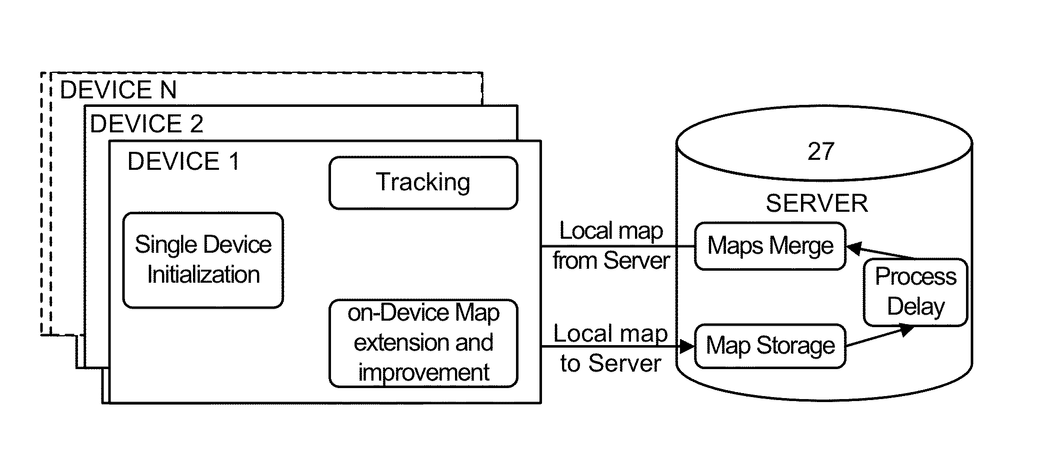
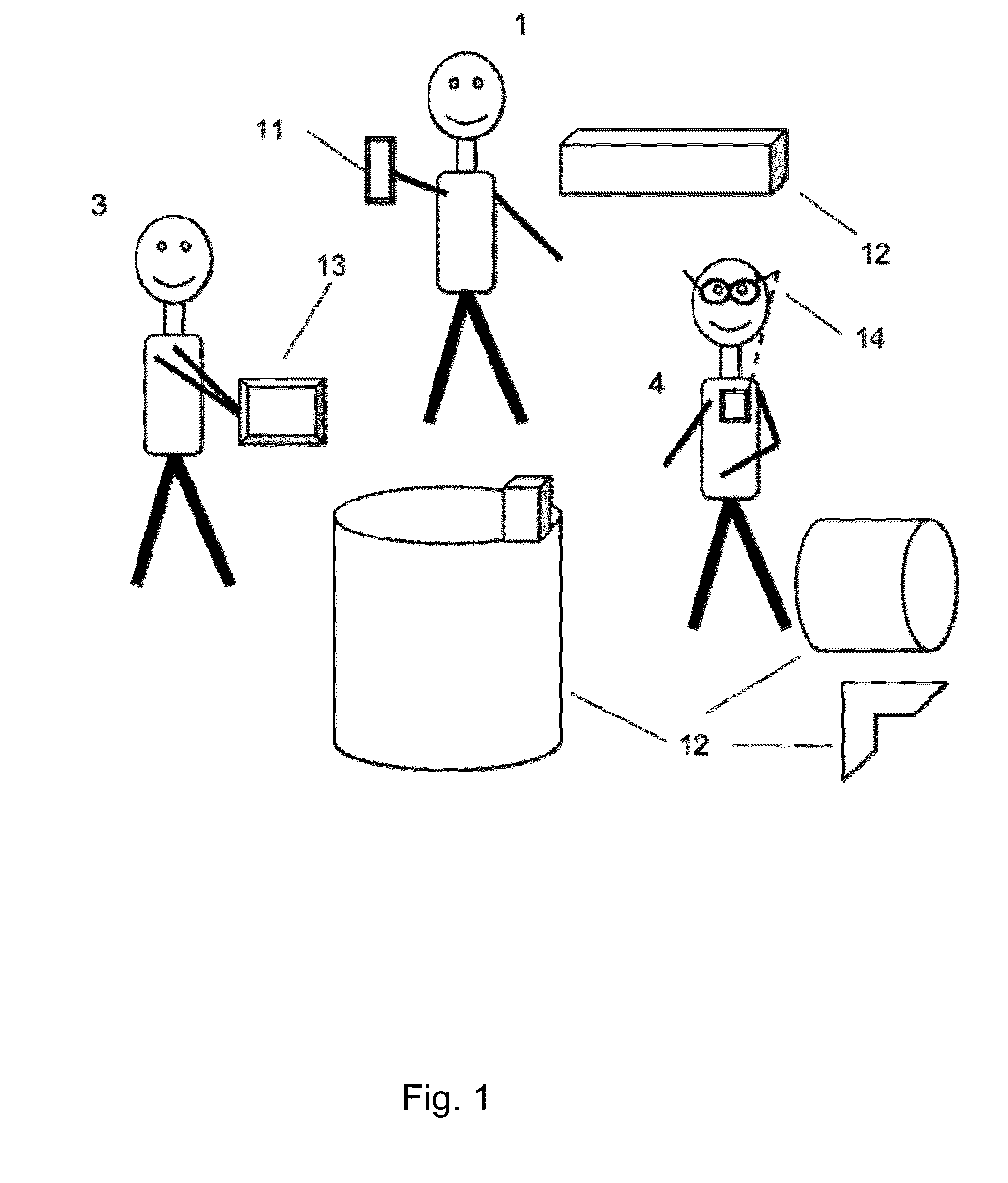
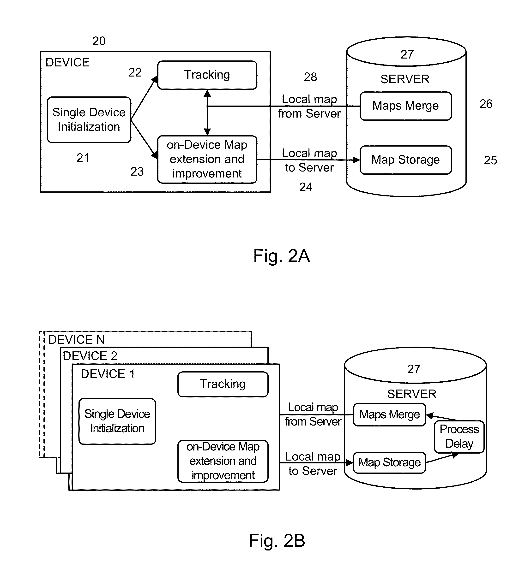
The patent describes a system and method for creating and sharing augmented reality maps among multiple users and devices. The system uses a combination of SLAM and other sensors to create a local coordinate system, which is then merged with a global coordinate system to create a global coordinate system that can be shared across multiple devices. This allows users to interact with augmented reality objects and share their maps with each other. The technical effect of this system is the creation of a collaborative and multi-user augmented reality experience, where multiple users can work together and share their maps with each other.

Problems solved by technology

For many applications, the computer is a mobile device, which typically means that it is battery operated and generally has reduced computing strength relative to other systems.
These systems algorithm do not allow two or more users (or other multi-player variants) to have a collaborative AR experience while sharing whole (or part) of a map between them and allow interaction of virtual reality content among multiple mobile devices.

Method used


Image

  • Generation and Sharing Coordinate System Between Users on Mobile
  • Generation and Sharing Coordinate System Between Users on Mobile
  • Generation and Sharing Coordinate System Between Users on Mobile

Examples


Embodiment Construction

[0020]The Figures (FIGS.) and the following description relate to preferred embodiments by way of illustration only. It should be noted that from the following discussion, alternative embodiments of the structures and methods disclosed herein will be readily recognized as viable alternatives that may be employed without departing from the principles of what is claimed.

[0021]Reference will now be made in detail to several embodiments, examples of which are illustrated in the accompanying figures. It is noted that wherever practicable similar or like reference numbers may be used in the figures and may indicate similar or like functionality. The figures depict embodiments of the disclosed system (or method) for purposes of illustration only. One skilled in the art will readily recognize from the following description that alternative embodiments of the structures and methods illustrated herein may be employed without departing from the principles described herein.

Configuration Overvie...


PUM


Abstract

A multi-device system for mobile devices to acquire and share 3D maps of an environment. The mobile devices determine features of the environment and construct a local map and coordinate system for the features identified by the mobile device. The mobile devices may create a joint map by joining the local map of another mobile device or by merging the local maps created by the mobile devices. To merge maps, the coordinate system of each system may be constrained in degrees of freedom using information from sensors on the devices to determine the global position and orientation of each device. When the devices operate on a joint map, the device share information about new features to extend the range of features on the map and share information about augmented reality objects manipulated by users of each device.

Description

BACKGROUND[0001]1. Field of Art[0002]The disclosure generally relates to the field of three-dimensional (3D) mapping, and more particularly to collaborative processing of 3D environmental maps.[0003]2. Description of the Related Art[0004]Interactions with the world through augmented reality (AR) systems are used in various systems, such as navigation, guiding, maintenance, architecture and 3D modeling, simulation and training, virtual fitting and gaming. Augmented reality systems enable users to view generated content along with real world content. For example, information about a restaurant may be superimposed on an image of the restaurant's storefront, or a game may use information about an environment to place virtual content on the real world environment.[0005]Thus, the computer computes placement of the virtual objects and typically places the augmented objects in a real setting. For many applications, the computer is a mobile device, which typically means that it is battery op...

Claims


Application Information

Patent Timeline
IPC IPC(8): G06T19/00G06T17/05
CPCG06T17/05G06T19/006H04W4/02H04W4/027H04W4/029H04W4/80
Inventor HOOK, ANSELMFITE-GEORGEL, PIERREMEISNIEKS, MATTMAES, ANTHONYGARDEYA, MARCNAIMARK, LEONID
Owner DEKKO
Learn More