
Building datum extraction from laser scanning data

a laser scanning and building technology, applied in the field of point cloud data, can solve the problems of lack of research work and commercial software tools currently available, inability to provide building data for most existing buildings, labor-intensive and error-prone creation process,

Active Publication Date: 2015-03-05
AUTODESK INC
View PDF7 Cites 73 Cited by
  • Summary
  • Abstract
  • Description
  • Claims
  • Application Information

AI Technical Summary

Benefits of technology

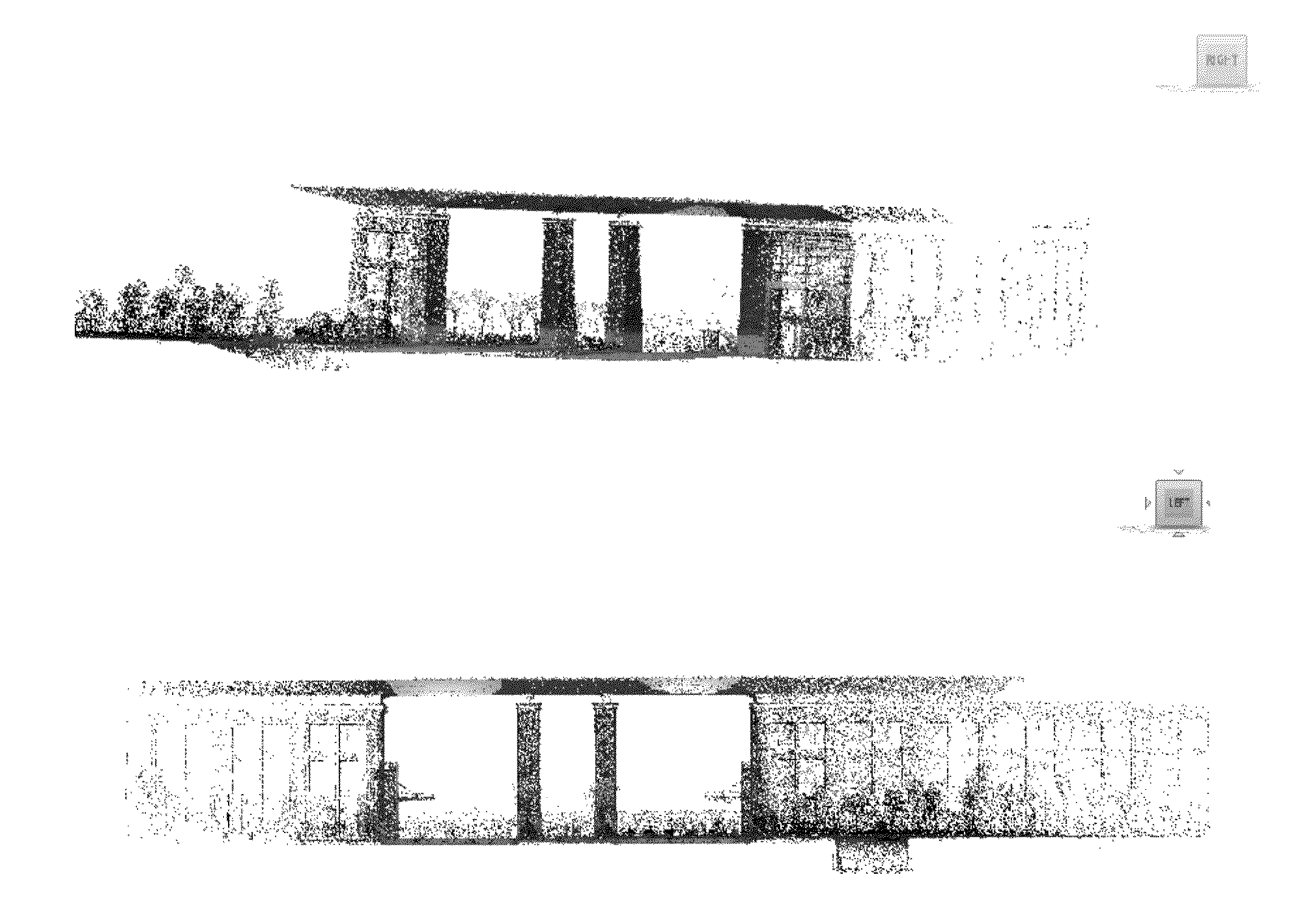
The invention provides a method for extracting level and reference grid information from point cloud data of a building's interior. This is done by first estimating the principal axis directions and then transforming the point cloud data to make the building stand upright. The transformed data is organized into a 3D voxel structure and level information is extracted by detecting peaks in a histogram. The method also filters floor plan points and generates a histogram to act as a rough location marker for the reference grids. The method refines the location of reference grids using a line sweeping method. The technical effect of this invention is to provide a more accurate and reliable tool for extracting level and reference grid information from point cloud data of building interiors.

Problems solved by technology

However, BIMs are often not available for most existing buildings.
However, this creation process is labor-intensive and error-prone.
Thus, there is a lack of research work and commercial software tools currently available for automatically extracting building datum information from point clouds.
However, a floor plan modeling method based on only one single horizontal slice of the environment does not take the whole building interior environment information into consideration, which means some elements might be missing from the single slice.
Thus, a single slice does not adequately represent the whole floor plan structure.
Furthermore, it is difficult to determine the slice height most appropriate for generating the floor plan and therefore it is difficult to automatically select the height of the slice.
Moreover, a single slice method does not filter out points obtained from the objects and clutter existing in the interior environment of the building, which further prevents the generation of a clear and accurate floor plan map.
Additionally, the wall points near the ceiling surface are likely to be obstructed by other MEP (mechanical, electrical, and plumbing) utilities or decorations.
However, such a method is computation-heavy and due to the existence of noise and outliers, the wall, floor, and ceiling surface cannot be modeled perfectly.
Therefore, the research on generating these types of navigation maps do not place much emphasis on being highly accurate or complete.

Method used


Image

  • Building datum extraction from laser scanning data
  • Building datum extraction from laser scanning data
  • Building datum extraction from laser scanning data

Examples


Embodiment Construction

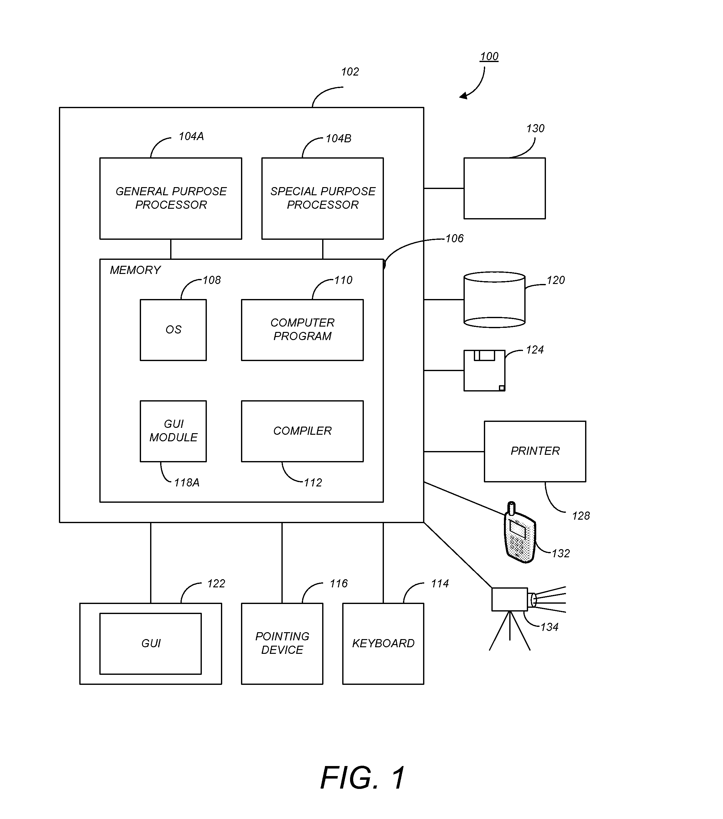
[0027]In the following description, reference is made to the accompanying drawings which form a part hereof, and which is shown, by way of illustration, several embodiments of the present invention. It is understood that other embodiments may be utilized and structural changes may be made without departing from the scope of the present invention.

Overview

[0028]For building information model (BIM) modeling software, two main elements—levels and floor plans are critical for users authoring BIMs. This is the same case for when a user desires to create as-built BIMs of existing buildings from point cloud data because levels and floor plan information provide the main conceptual model of the building. Embodiments of the present invention provide methods to automatically extract the level and floor plan information from laser scanning points. The input data mainly comes from terrestrial laser scanners. In certain embodiments, orthogonal reference grid information is extracted to aid in the...


PUM


Abstract

A method, apparatus, system, and computer program product provide the ability to extract level information and reference grid information from point cloud data. Point cloud data is obtained and organized into a three-dimensional structure of voxels. Potential boundary points are filtered from the boundary cells. Level information is extracted from a Z-axis histogram of the voxels positioned along the Z-axis of the three-dimensional voxel structure and further refined. Reference grid information is extracted from an X-axis histogram of the voxels positioned along the X-axis of the three-dimensional voxel structure and a Y-axis histogram of the voxels positioned along the Y-axis of the three-dimensional voxel structure and further refined.

Description

CROSS-REFERENCE TO RELATED APPLICATIONS[0001]This application claims the benefit under 35 U.S.C. Section 119(e) of the following co-pending and commonly-assigned U.S. provisional patent application, which is incorporated by reference herein:[0002]Provisional Application Ser. No. 61 / 871,042, filed on Aug. 28, 2013, by Yan Fu, entitled “BUILDING DATUM EXTRACTION FROM LASER SCANNING DATA,” attorneys' docket number G&C 30566.506-US-P1.BACKGROUND OF THE INVENTION[0003]1. Field of the Invention[0004]The present invention relates generally to point cloud data, and in particular, to a method, apparatus, and article of manufacture for extracting the level and reference grid of floor plan information of a building from point cloud data.[0005]2. Description of the Related Art[0006](Note: This application references a number of different publications as indicated throughout the specification by references enclosed in brackets, e.g. [x]. Such references may indicate the first named author and ye...

Claims


Application Information

Patent Timeline
IPC IPC(8): G06K9/46
CPCG06K9/4642G06K9/468G06K9/4604G06V20/64
Inventor FU, YAN
Owner AUTODESK INC
Learn More