Animated Visualization of GPS Data in a GIS System
- Summary
- Abstract
- Description
- Claims
- Application Information
AI Technical Summary
Benefits of technology
Problems solved by technology
Method used
Image
Examples
example gui
of a GIS Browser
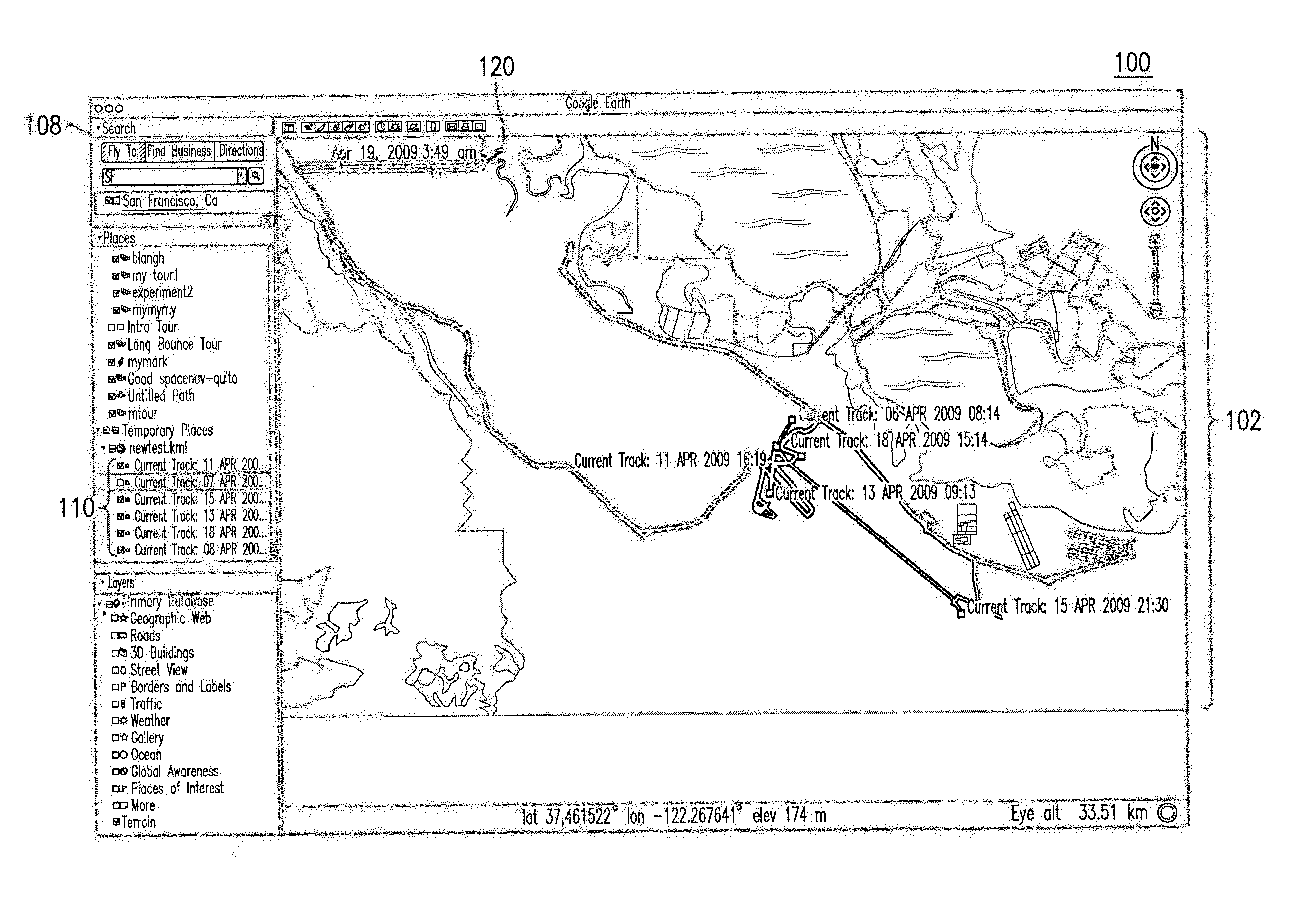
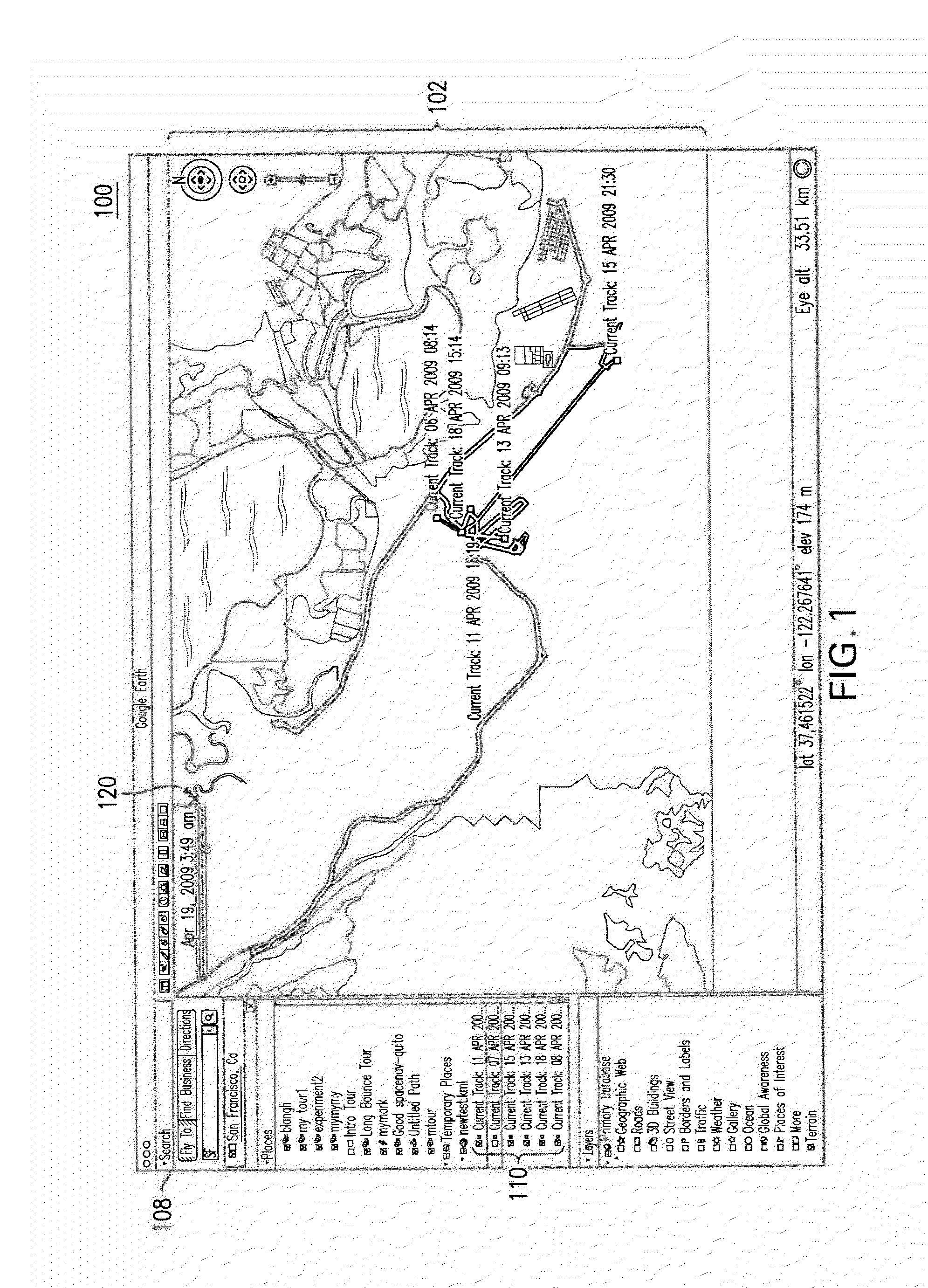
[0032]FIG. 1 illustrates an exemplary graphical user interface (GUI) of an interactive geospatial browser 100 in a GIS system, according to an embodiment. In an embodiment, browser 100 is a spatial and temporal browser that enables a user to view various types of geographic information, corresponding to a particular geographic area at a specific time. As such, browser 100 provides the user with a notion of both “where” the user is viewing and “when” the user is viewing. In an example, browser 100 may enable the user to view imagery corresponding to one or more geographic regions or areas at various points in time as selected by the user (e.g., via a user interface control provided in browser 100). For example, such imagery may be presented to the user via a display that is coupled to a computing device implementing browser 100. As illustrated in the example GUI of FIG. 1, browser 100 includes a display window 102, a control portion 108 including data filters 110, and...
example encoding
Language
[0068]FIG. 5 is a portion of code 500 that may be used to provide animated visualization of geo-located objects, according to an example embodiment. In an embodiment, code 500 may be based on the Keyhole Markup Language (KML) for encoding and visualizing geographic information and representations of one or more moving objects within a geographic environment (e.g., geographic environments 302 and 402 of FIGS. 3 and 4, respectively, as described above). As would be apparent to a person skilled in the relevant art given this description, KML in general may include various notations based upon XML (extensible markup language) notation for expressing geographic annotations and visualizations, as described above. Further, such visualizations may include two-dimensional and three-dimensional maps or environments encoded using KML notation. It should be understood that KML is an example coding language by which at least a portion of the features herein may be implemented, while othe...
PUM
 Abstract
Description
Claims
Application Information
 - R&D
- Intellectual Property
- Life Sciences
- Materials
- Tech Scout
- Unparalleled Data Quality
- Higher Quality Content
- 60% Fewer Hallucinations
Browse by: Latest US Patents, China's latest patents, Technical Efficacy Thesaurus, Application Domain, Technology Topic, Popular Technical Reports.
© 2025 PatSnap. All rights reserved.Legal|Privacy policy|Modern Slavery Act Transparency Statement|Sitemap|About US| Contact US: help@patsnap.com


