
Dynamic navigation system

a dynamic navigation and display technology, applied in navigation instruments, surveying and navigation, instruments, etc., can solve the problems of prone to inaccuracy of location providing devices, and achieve the effects of enhancing speed and clarity, facilitating communication, and facilitating rapid and efficient delivery

Inactive Publication Date: 2005-07-12
TAHOE RES LTD
View PDF17 Cites 147 Cited by
  • Summary
  • Abstract
  • Description
  • Claims
  • Application Information

AI Technical Summary

Benefits of technology

The present invention provides improved methods and systems for off-board mapping and navigation. These methods and systems allow for efficient and dynamic information transfer from a mapping server to a client device, even over low-speed wireless links. The client device uses the downloaded vector information to determine its position on the map and provides a navigation aid to the user based on the determined position. The server can also receive dynamic information about the user's travel and quickly modify the route to the destination to avoid traffic jams or blockages. The invention allows for real-time navigation and provides a better user experience even in areas with limited communication capabilities.

Problems solved by technology

Such location providing devices, however, are prone to inaccuracy.

Method used


Image

  • Dynamic navigation system
  • Dynamic navigation system
  • Dynamic navigation system

Examples


Embodiment Construction

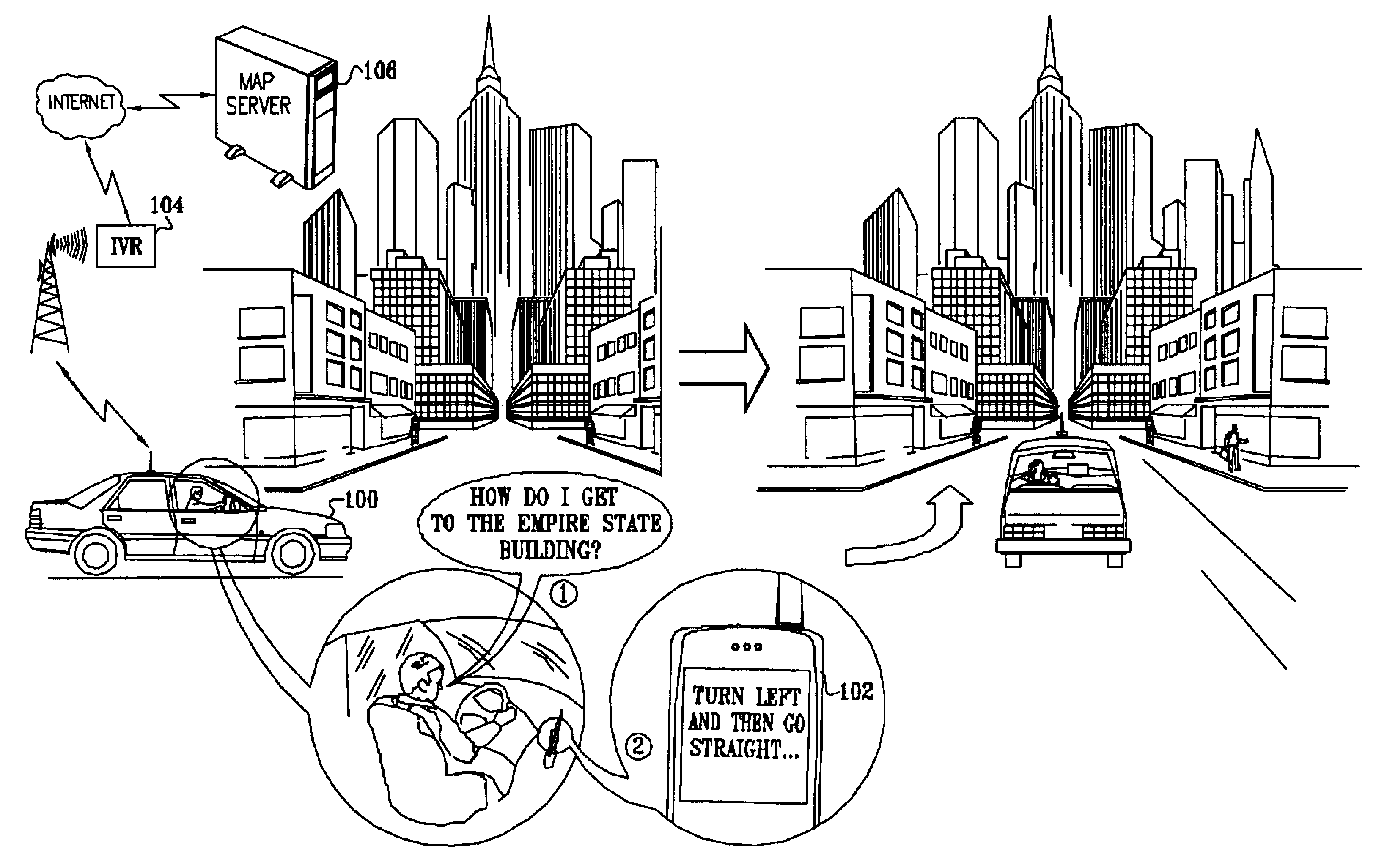
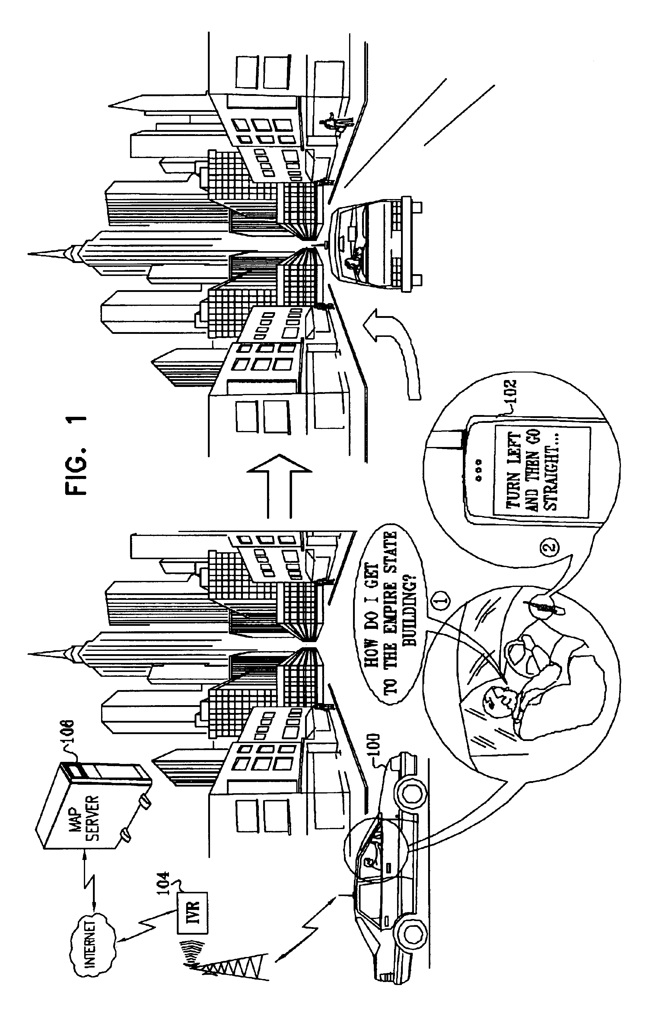
[0090]Reference is now made to FIG. 1, which is a simplified pictorial illustration of a real-time map distribution and display system constructed and operative in accordance with an embodiment of the present invention. As seen in FIG. 1, a driver of a vehicle 100 communicates via a wireless communicator, such as a conventional cellular telephone 102, with a interactive voice response (IVR) processor 104 and through IVR 104 via the Internet with a map server 106.

[0091]In the illustration, the driver asks directions to the Empire State Building. In real time, preferably within four seconds or less, while driving, the driver receives the requested directions. More preferably, the directions are provided within two seconds, and most preferably, the directions are provided substantially immediately, i.e., within one second. In the illustration, the directions are requested by the driver and provided to the driver orally, typically using speech recognition and speech synthesis tools, as ...


PUM


Abstract

A method for navigation includes storing map data on a server, the map data including vector information delineating roads in a map. A portion of the vector information corresponding to an area in which a user of a mobile client device is traveling is downloaded from the server to the client device. Approximate position coordinates of the user are found using a location providing device associated with the client device and are corrected in the client device, using the downloaded vector information, so as to determine a location of the user on one of the roads in the map. A navigation aid is provided to the user of the client device based on the determined location.

Description

CROSS-REFERENCE TO RELATED APPLICATION[0001]This application claims the benefit of U.S. Provisional Patent Application 60 / 377,019, filed Apr. 30, 2002. This application is also related to patent applications Ser. Nos. 10 / 426,945 and 10 / 426,946, both filed Apr. 30, 2003, which are entitled “Template-Based Map Distribution System” and “Navigation System Using Corridor Maps.” The disclosures of all these related applications are incorporated herein by reference.FIELD OF THE INVENTION[0002]The present invention relates to data distribution and display systems and methodologies and more particularly to map data display systems and methodologies.BACKGROUND OF THE INVENTION[0003]A variety of systems are known in the art for and navigation aids. These systems are commonly coupled to a location-finding device in the vehicle, such as a Global Positioning System (GPS) receiver. The GPS receiver automatically determines the current location of the vehicle, to be displayed on the map and used in...

Claims


Application Information

Patent Timeline
Patent Type & Authority Patents(United States)
IPC IPC(8): G01C21/34G01C21/30G01C21/28G01C21/36G01C21/26
CPCG01C21/26G01C21/30G01C21/32G01C21/36G01C21/3611G01C21/3667G01C21/3679G01C21/3682G01C21/3889
Inventor PECHATNIKOV, MICHAELKUPFERMAN, MICHAEL MENACHEMYADAN, OMRYECKSTEIN, ILYAFAGIN, ALEXANDERNISSIM, OREN
Owner TAHOE RES LTD
Learn More