Method for extracting roads from remote sensing map image

A technology of road extraction and remote sensing maps, which is applied in the direction of instruments, character and pattern recognition, computer components, etc., can solve the problem of no detection of road width, etc., and achieve the effects of high accuracy, easy implementation, and simple operation

Inactive Publication Date: 2010-09-15
SHANGHAI JIAO TONG UNIV
View PDF1 Cites 8 Cited by
  • Summary
  • Abstract
  • Description
  • Claims
  • Application Information

AI Technical Summary

Problems solved by technology

Its recognition rate for urban roads can reach up to about 90%, but severa...

Method used


Image

  • Method for extracting roads from remote sensing map image
  • Method for extracting roads from remote sensing map image
  • Method for extracting roads from remote sensing map image

Examples


Embodiment

[0030] This embodiment selects the high-resolution remote sensing map image of ×province×city, and its flow chart is as follows figure 1 shown, including the following steps:

[0031] Step 1. Mark the edge of the road section:

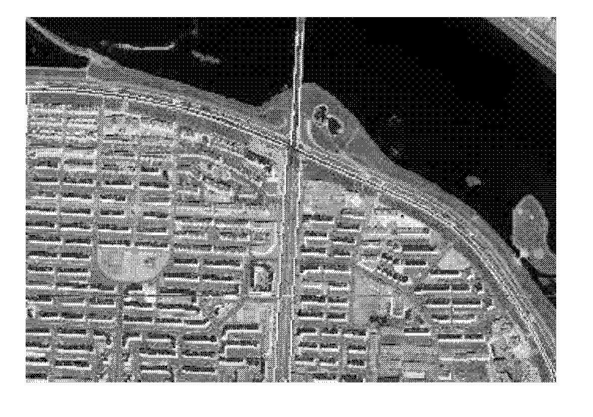
[0032] Such as figure 2 As shown in , marking the edge of the road section refers to marking the two sides of the road section with line segments.

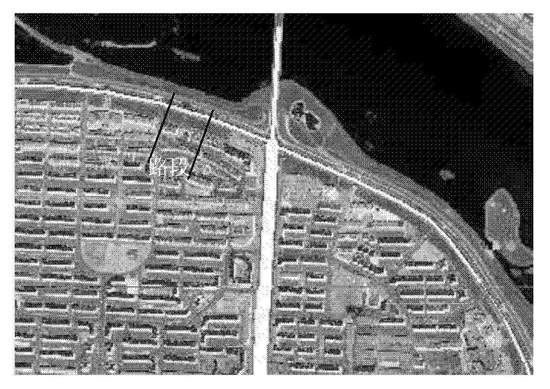
[0033] Since the road is curved, each road is represented by multiple straight road segments, each complete road defines a starting point and ends at an intersection, and a complete road contains multiple road segments. image 3 A specific segment is shown in .

[0034] For the road section, the distance between the two sides along the line is the width of the road section; the centerline of the two sides along the line is the location of the road section.

[0035] Step 2. According to the marked edge, the projection algorithm is used to automatically generate road sections:

[0036] According to the...


PUM


Abstract

The invention relates to a method for extracting roads from remote sensing map images in the field of remote sensing technique. The method comprises the following steps of: marking two edges of the roads; automatically generating road segments by using a projection method according to the marked edges; linking the road segments into the roads; adding road names; and saving every road in a data format by taking an intersection as the center. The method for extracting the roads from the remote sensing map image has the advantages of easy implementation, simple operation, high accuracy and the like, and is a fast and conveniently extracting mode for the roads of a remote sensing map.

Description

technical field [0001] The invention relates to a method for extracting information in the field of remote sensing technology, in particular to a method for extracting roads from remote sensing map images. Background technique [0002] A digital map is a generalized and orderly collection of cartographic elements and discrete data with definite coordinates and attributes in the GIS-T system on a computer-recognizable storage medium. It has a wide range of applications in the fields of car navigation systems and intelligent transportation systems (ITS). With the development of GPS technology, Aki Okuno and Wenhuan Shi proposed a digital map construction method based on GPS data. This method uses the vehicle-mounted GPS system to collect data information and generates a bitmap based on this, and then further uses expansion and refinement. And other technologies to process the bitmap to get the topological structure of the urban road network. The map construction method based...

Claims


Application Information

Patent Timeline
IPC IPC(8): G06K9/46
Inventor 沈轶赵乾坤孔庆杰刘允才
Owner SHANGHAI JIAO TONG UNIV
Why Eureka
Try Eureka