
Road traffic service level prediction method based on space-time characteristic aggregation

A service level and road traffic technology, applied in traffic flow detection, general control systems, instruments, etc., can solve problems such as large errors in road traffic status, inability to integrate multiple data, and spatial domain characteristics without time series characteristics. To achieve the effect of alleviating traffic pressure

Active Publication Date: 2010-10-20
北京宏德信智源信息技术有限公司
View PDF0 Cites 19 Cited by
  • Summary
  • Abstract
  • Description
  • Claims
  • Application Information

AI Technical Summary

Problems solved by technology

But the ensuing problem is that the previous forecasting models and algorithms cannot integrate multiple data well when performing multiple data fusion, such as the time series model, because it is mainly aimed at time-related Time domain features, while space domain features do not have obvious time series characteristics, so when performing data fusion, its limitations are revealed
The road traffic state prediction obtained by it will produce a large error

Method used

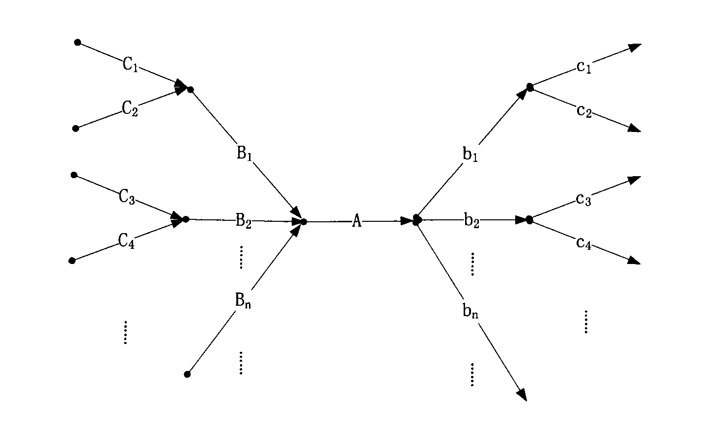
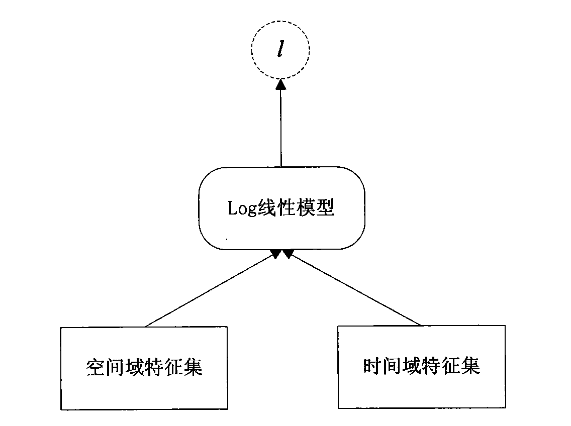
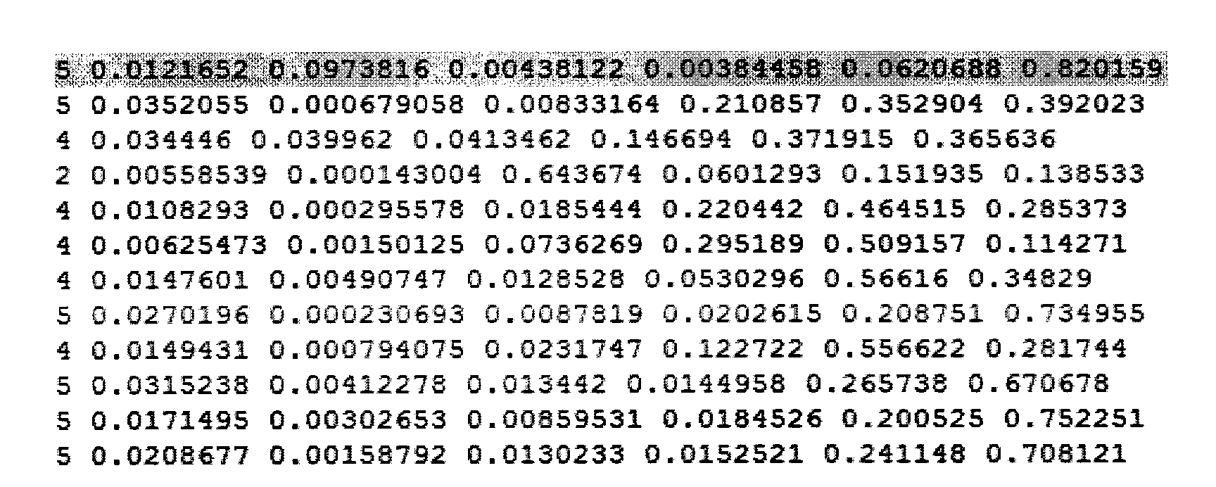

Image

  • Road traffic service level prediction method based on space-time characteristic aggregation
  • Road traffic service level prediction method based on space-time characteristic aggregation
  • Road traffic service level prediction method based on space-time characteristic aggregation

Examples


Embodiment Construction

[0035] The method of the present invention will be further described below through specific examples.

[0036] In this embodiment, the maximum entropy prediction model is used to predict a set of data from a certain road in Beijing on May 19, 2008, and compare and analyze it with the real road service level data to analyze the accuracy of the method.

[0037] First generate the training set of the maximum entropy prediction model. The training set used in this embodiment is the real road traffic data in Beijing. The training set includes the time and space characteristics of the road and the characteristics of the road itself, such as the number of lanes.

[0038] Observation feature data (o) is substituted into feature function f k (o, l i ) and generate a training set, because it is implemented through a program, so when generating a training set, the data must be edited into a specific format.

[0039] In this embodiment, the following format is used:

[0040] 1_alFlow1_...


PUM


Abstract

The invention has the observation characteristic that road traffic time domain characteristic and road traffic space domain characteristic are used for fusing multiple data so as to obtain the service level predicting result by a maximum entropy model, so that the predicting result is ensured to be more accurate; and by adopting the technology for prediction, the traffic control department can issue the crowding situation of the roads in the urban area, the traffic state and the service level in advance according to the predicting result, so that the invention provides reference for going out, leads the public to avoid the rush hour and the crowding road sections, is beneficial to inducing and evacuating the traffic, effectively eases the traffic pressure, and provides decision support for traffic guidance.

Description

technical field [0001] The invention belongs to the field of forecasting and forecasting of road traffic status and service level, and in particular relates to a road traffic service level forecasting method based on spatio-temporal feature aggregation. Background technique [0002] The most commonly used models in the field of traffic state forecasting mainly include historical trend models, neural network models, time series models, Kalman filter models, and non-parametric regression models, and the closest to this technology is the time series model. A time series is a collection of observations arranged in time order. The main feature of the time series model is to recognize the dependencies and correlations between observations. It is a dynamic model that can be applied to dynamic forecasting. [0003] In the past, road traffic state prediction was mainly aimed at time-related traffic data, that is, for the time-domain characteristics of traffic, so the time series mod...

Claims


Application Information

Patent Timeline
IPC IPC(8): G05B13/04G08G1/01
Inventor 贾利民唐堃董宏辉张尊栋孙晓亮郭敏承向军李晨曦
Owner 北京宏德信智源信息技术有限公司
Learn More