
3D (three-dimensional) model matching method

A technology of 3D models and matching methods, applied in the field of 3D models, can solve problems such as drilling into the ground and ground object models floating in the air

Inactive Publication Date: 2011-11-23
CHINESE ACAD OF SURVEYING & MAPPING
View PDF1 Cites 25 Cited by
  • Summary
  • Abstract
  • Description
  • Claims
  • Application Information

AI Technical Summary

Problems solved by technology

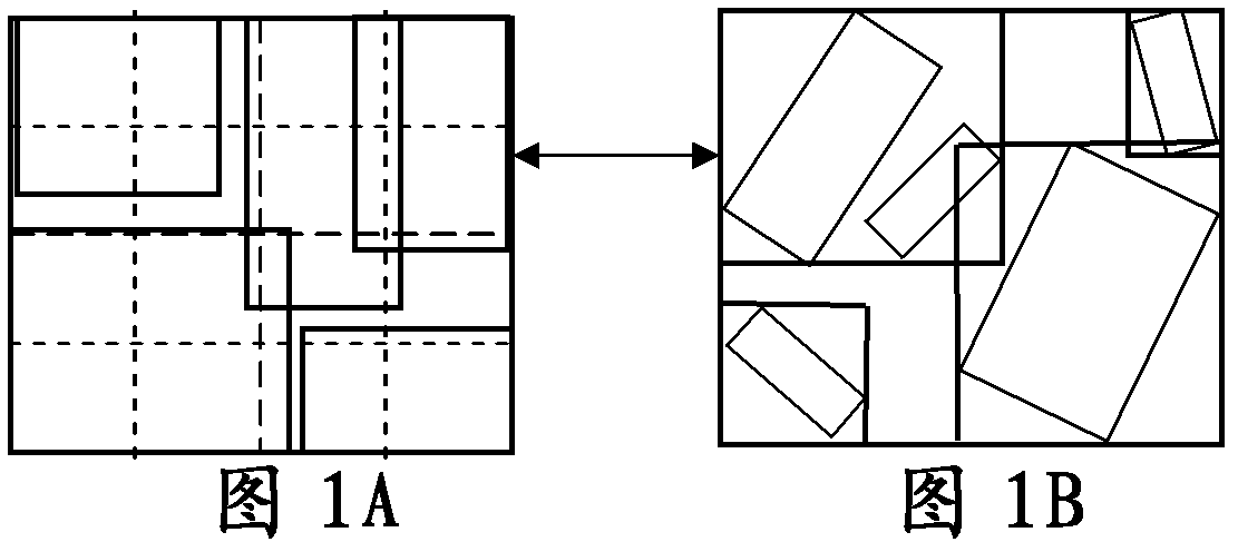
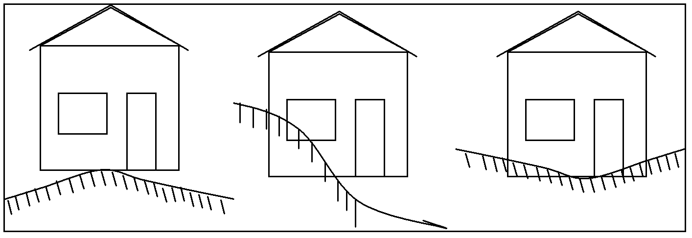
[0004] In view of this, the main purpose of the present invention is to provide a 3D model matching method to realize the fusion and matching of the ground object model and the terrain model data level, so as to solve the problem that the ground object model floats in the air or drills under the condition of visual scale. The problem of distortion phenomena such as entering the ground

Method used


Image

  • 3D (three-dimensional) model matching method
  • 3D (three-dimensional) model matching method
  • 3D (three-dimensional) model matching method

Examples


Embodiment Construction

[0049] A three-dimensional model matching method provided by the present invention will be described in detail below with reference to the accompanying drawings.

[0050] For a 3D scene, a large number of 3D models and their texture data need to be managed. Taking a 3D digital city as an example, the data of a 3D building model with photo quality at one scale in a city may have as many as tens of gigabytes. In order to use the database to effectively manage and schedule massive 3D model data in 3D scenes, the data organization strategy of layer-area-block-model can be adopted, and an efficient indexing mechanism can be selected for each level of data. Such organization and management of 3D model data is conducive to improving the efficiency of spatial analysis, facilitating the cutting and extraction of 3D scenes, and thus facilitating data processing and analysis in the matching of 3D models.

[0051]In this embodiment, before performing 3D model matching, the 3D model data ...


PUM


Abstract

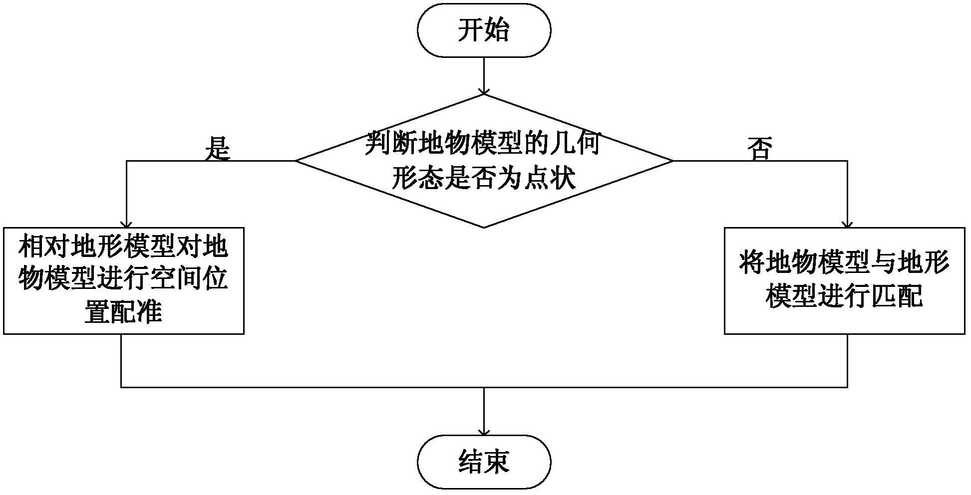
The invention provides a 3D (three-dimensional) model matching method, comprising the following steps of: judging the geometric shape of a ground object model; if the geometric shape of the ground object model is punctiform, registering the spatial location of the ground object model relative to a terrain model; and if the geometric shape of the ground object model is planar or banded, matching the ground object model with the terrain model, so that hierarchic fusion matching between data of the ground object model and data of the terrain model is realized, thereby solving such distortion problems that the ground object model floats in the air or goes underground under the condition of a visual scale.

Description

technical field [0001] The invention relates to the technical field of three-dimensional models, in particular to a matching method of three-dimensional models. Background technique [0002] The virtual three-dimensional map is based on real geographic information, based on WEB GIS and virtual reality technology. The actual three-dimensional geographic information can be obtained by any means (such as collecting by manual photography). The obtained geographic information is processed and spliced, organized by modeling (terrain model and surface object model), and finally presented in the form of virtual reality. Among them, the ground object model relies on the terrain model, and in order to achieve a better visual effect, the two must be seamlessly matched. [0003] At present, the construction scheme of virtual terrain environment based on small and medium-scale maps is usually to map the two-dimensional texture of the ground surface including terrain and features on DEM...

Claims


Application Information

Patent Timeline
IPC IPC(8): G06T17/05
Inventor 李成名马照亭殷勇赵占杰王继周印洁沈涛孙伟焦孟凯路文娟方驰宇张成成孙隆祥洪志远赵园春
Owner CHINESE ACAD OF SURVEYING & MAPPING
Learn More