

Three-dimensional surface layer model construction method based on triangular grid
A technology of surface model and triangular grid, applied in the field of geophysical exploration, can solve problems such as low efficiency, tediousness, and model deviation
- Summary
- Abstract
- Description
- Claims
- Application Information
AI Technical Summary
Problems solved by technology
Method used
Image

Examples
Embodiment Construction
[0022] Hereinafter, embodiments of the present invention will be described in detail with reference to the drawings.
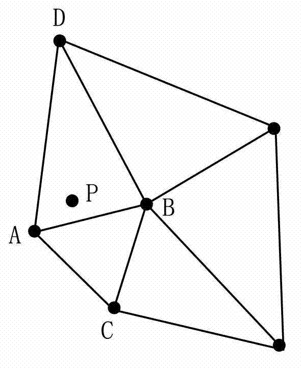
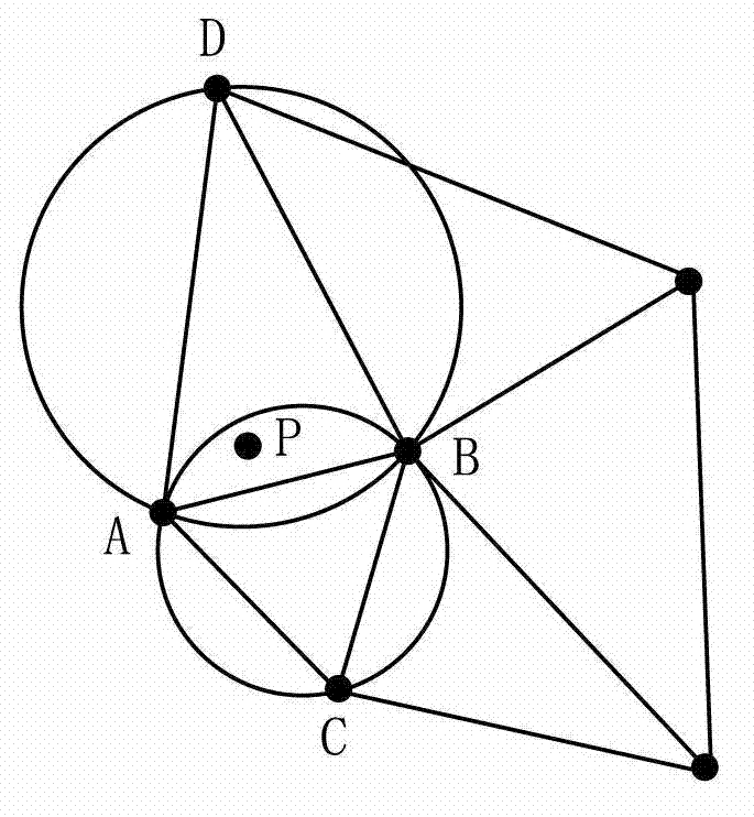
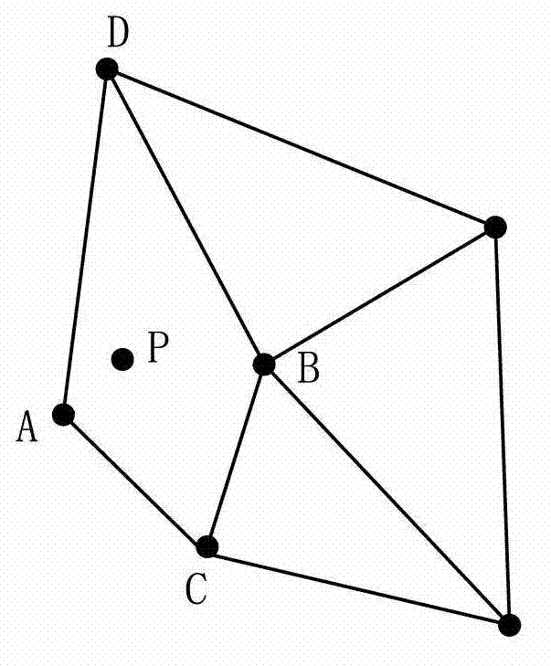
[0023] As known in the art, at first, measure the surface survey points in a certain area to directly or indirectly obtain the geographic location information and surface model parameters of each surface survey point, and obtain the geographic location information of all shot receiver points in the area. location information. Surface model parameters can be surface velocity, thickness, elevation, interlayer correlation coefficient, etc. Among them, the layer interface elevation data of the surface survey points are used as two groups of variables in turn, and then the interlayer correlation coefficient of the surface survey points can be obtained by using the statistical correlation formula. Depending on the exploration situation, the surface survey point may also be a part of the shot receiver point.
[0024] Hereinafter, a method for building a three-dimen...
PUM
 Abstract
Description
Claims
Application Information