

Traffic accident road base map information processing method based on topographic map and image
An information processing method and a traffic accident technology, which are applied in the field of road basemap information processing, can solve the problem that road basemaps are not easy to save, archive, transmit and share information, meet the accuracy requirements of accident site responsibility determination, and cannot achieve large-scale problems. To promote the application and other issues, to achieve the effect of convenient transmission and storage, improve the efficiency of work and case handling, and clear the picture
- Summary
- Abstract
- Description
- Claims
- Application Information
AI Technical Summary
Problems solved by technology
Method used
Image

Examples
Embodiment 1
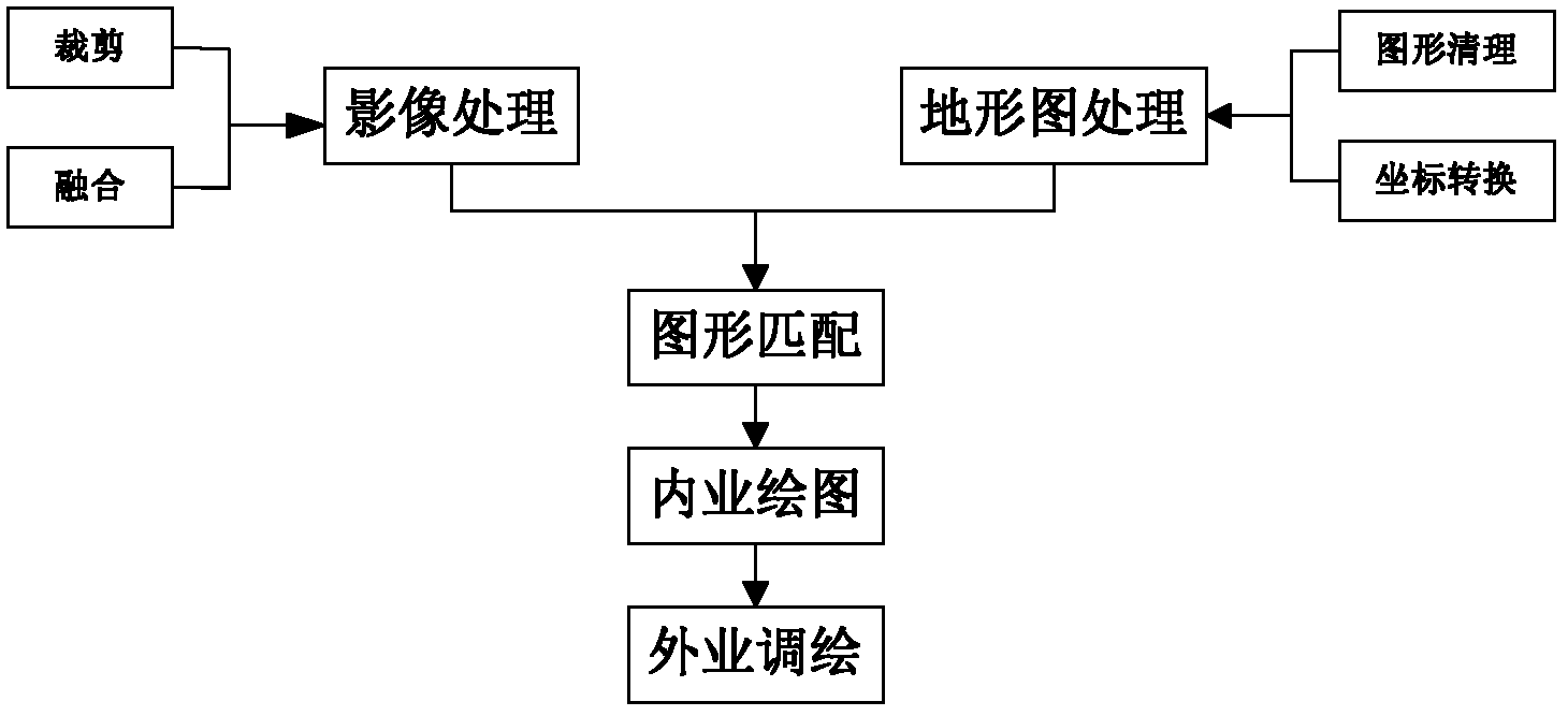
[0058] The present invention is mainly aimed at the rapid drawing of the proportional map of the traffic accident scene, and separates the fixed elements in the proportional map, and defines it as a road base map, which mainly includes road signs and markings, road facilities and the like. The present invention adopts a method for superimposed processing and acquisition of large-scale topographic maps and high-resolution remote sensing images. Existing large-scale topographic maps are all in a unified coordinate system. The general coordinate system is an independent urban coordinate system with a scale of 1:500. The road sign marking graphic information required for the traffic accident map. Road signs and markings are important graphic elements of traffic accident scene maps, and are also an important basis for accident handling. The high-resolution remote sensing image graphics can just provide the necessary graphic information such as road signs and markings required by t...
Embodiment 2
[0094] Taking ordinary roads in Lujiazui area of Pudong, Shanghai as an example, the data sources are 1:500 topographic map and 2004 image data. The remote sensing image data are multi-spectral false-color images and panchromatic fast-bird images with a resolution of 0.61m. The coordinate reference system of the topographic map is the Shanghai city coordinate system.
[0095] The preprocessing of remote sensing images includes image fusion and cropping. In order to easily distinguish ground objects and facilitate digitization, the two images are fused. After the remote sensing image is fused, the remote sensing image can be roughly cropped according to the area range of the topographic map, so as to obtain an image area of the same size as the topographic map range. The preprocessing of the topographic map mainly uses the graphics cleaning tool of Map 3D to clean up the original topographic map such as deleting short objects, cleaning up multi-line segments, and breaking...
Embodiment 3
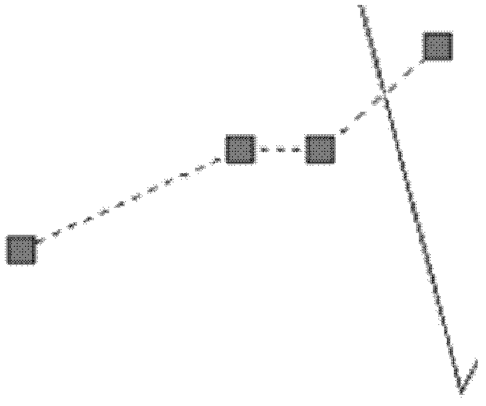
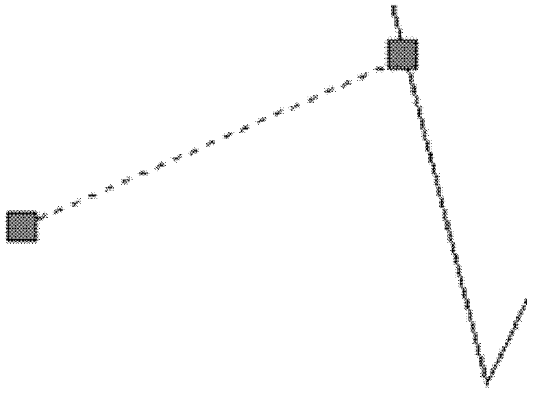
[0099] Taking the intersection of Beijiang North Road and Shaonan Avenue in Shaoguan City as an example, the image map of this intersection cannot be directly distinguished from the image map due to the occlusion of trees. First, the image is used as the background, and part of the road sign markings are drawn. The result is as follows Figure 7 shown. In the field, the lane width was measured and the number of lanes was checked. Change the original double yellow solid line to double yellow dashed line, translate the lane dividing line, and supplement the missing lane line. Also extend the sidewalk to the side of the road. The completed road basemap is as follows: Figure 8 shown. By adopting this method, it is avoided to set up instruments on the field and carry out large-scale measurement, shorten the workload in the field, and improve the efficiency of road base map formation.
PUM
 Abstract
Description
Claims
Application Information