Remote-sensing image change detecting method based on land utilization database
A database and image technology, applied in image data processing, image enhancement, image analysis, etc., can solve the problem of heavy workload in manual detection of changing areas
- Summary
- Abstract
- Description
- Claims
- Application Information
AI Technical Summary
Problems solved by technology
Method used
Image
Examples
Embodiment Construction
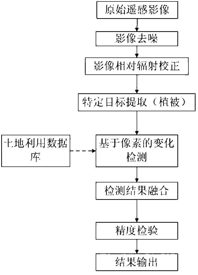
[0010] The remote sensing image change detection method based on the land use database proposed by the present invention is characterized in that it includes an image preprocessing module, specifically including image denoising and relative radiation correction.
[0011] Step 1, using wavelet decomposition technology and soft threshold processing technology, by extracting high-frequency information of the image, denoising processing in the high-frequency part, wavelet decomposition denoising includes the following steps,
[0012] Step 1.1 Decompose the original image using lifting wavelet;
[0013] Step 1.2 Calculate the threshold value for each decomposed image according to the set number of decomposed layers;
[0014] Step 1.3 According to the threshold value of each layer of image, separate the threshold for each layer of image;
[0015] Step 1.4 restores the image after thresholding with wavelet to obtain the final denoised image.
[0016] Step 2, using wavelet decomposi...
PUM
 Abstract
Description
Claims
Application Information
 - R&D
- Intellectual Property
- Life Sciences
- Materials
- Tech Scout
- Unparalleled Data Quality
- Higher Quality Content
- 60% Fewer Hallucinations
Browse by: Latest US Patents, China's latest patents, Technical Efficacy Thesaurus, Application Domain, Technology Topic, Popular Technical Reports.
© 2025 PatSnap. All rights reserved.Legal|Privacy policy|Modern Slavery Act Transparency Statement|Sitemap|About US| Contact US: help@patsnap.com


