Double-geographic-longitude-latitude-grid dividing method

A graticule and geographic technology, applied in image data processing, instrumentation, computing, etc., can solve the problems of low spatial expression resolution, unfavorable plane visual interpretation of sliced ​​files, discontinuity, etc.

Active Publication Date: 2013-11-27
AEROSPACE INFORMATION RES INST CAS
View PDF6 Cites 11 Cited by
  • Summary
  • Abstract
  • Description
  • Claims
  • Application Information

AI Technical Summary

Problems solved by technology

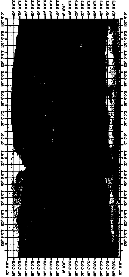
like Figure 1 to Figure 4 As shown, based on the convenient calculation requirements of computer images, the slices of geographic segmentation often adopt a rectangular shape. However, since the standard graticules meet at the north and south poles to form a point, the actual area sh

Method used


Image

  • Double-geographic-longitude-latitude-grid dividing method
  • Double-geographic-longitude-latitude-grid dividing method
  • Double-geographic-longitude-latitude-grid dividing method

Examples


Embodiment Construction

[0040] The present invention will now be described more fully with reference to the accompanying drawings, in which exemplary embodiments of the invention are shown. The present invention may, however, be embodied in many different forms and should not be construed as limited to the exemplary embodiments set forth herein. Rather, these embodiments are provided so that this disclosure will be thorough and complete, and will fully convey the scope of the invention to those skilled in the art.

[0041] For ease of description, spatially relative terms such as "upper," "lower," "left," "right," and the like may be used herein to describe the relationship of one element or feature shown in the figures to another element or feature. It should be understood that, in addition to the orientation shown in the figures, spatial terms are intended to encompass different orientations of the device in use or operation. For example, if the device in the figures is turned over, elements descr...


PUM


Abstract

The invention discloses a double-geographic-longitude-latitude grid dividing method. Geographic information data are obtained through a satellite, aerial remote sensing images and earth surface actual measurement, a double-geographic-longitude-latitude-grid expression module is established, double-geographic-longitude-latitude-grid regularized division is conducted on the geographic space of the earth surface, standard longitude-latitude-grid division and expression are conducted on the regions with low south latitude and low north latitude, rotary longitude-latitude-grid division and expression are conducted on the regions with high south latitude and high north latitude, divided geographic slices are expressed in multiple modes according to slice level rank numbers, the standard longitude-latitude range and the rotary longitude-latitude-grid range, conversion is conducted according to the requirements, and on the basis of a geographic dividing method based on a standard longitude-latitude grid, the accurate expression of the geographic space in the regions with high latitude is obtained. According to the double-geographic-longitude-latitude-grid dividing method, geographic poles are rotated, so that double longitude-latitude grids are established on the spherical surface of the earth, the regions with different degrees of south latitude and north latitude are divided according to the different longitude-latitude grids, and therefore the shortages, in the aspect of geographic space expression of the regions with high latitude, of the standard longitude-latitude grid and the shortages of tradition geographic division are overcome.

Description

technical field [0001] The invention relates to the application field of geographic information systems, in particular to a technology for spatial segmentation and expression of geographic information in dual-latitude and longitude grids. Background technique [0002] Geographic segmentation is a regularized division method for the spherical geographic information of the earth. In recent years, with the development and application of geographic information technology, various geographic segmentation methods have been widely used in network geographic information systems, three-dimensional digital earth and other applications as map data organization models. like Figure 1 to Figure 4 As shown in the figure, based on the convenient calculation requirements of computer images, the slices of geographic segmentation are often in the form of rectangles. However, because the standard latitude and longitude grids meet at a point at the north and south poles, the actual regional sha...

Claims


Application Information

Patent Timeline
IPC IPC(8): G06T17/05G06T19/00
Inventor 顾行发余涛黄祥志孟庆岩周珂郭红
Owner AEROSPACE INFORMATION RES INST CAS
Why Eureka
Try Eureka